Lot 382
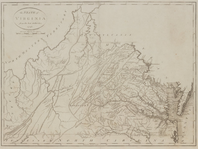
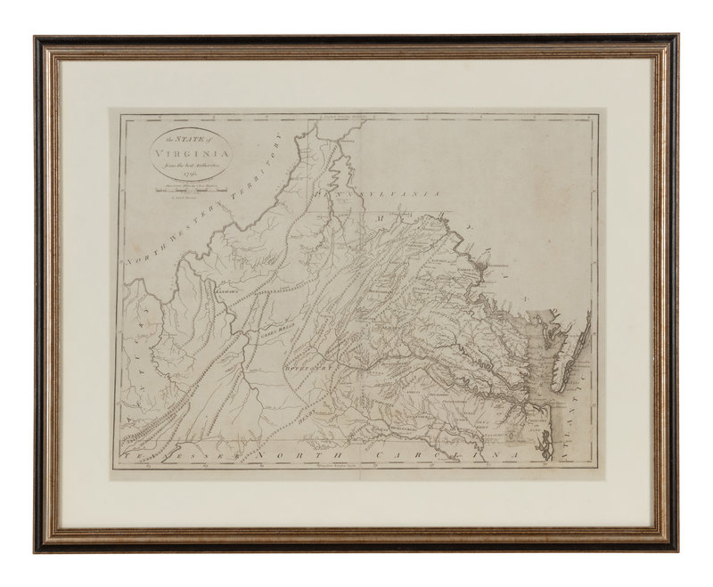
[MAP]. REID, John. The State of Virginia from the best Authorities. NY, 1796. From the first edition of Reid's American Atlas, the second folio atlas published in America following Matthew Carey's American Atlas of 1795.
Sale 1022 - Fine Printed Books & Manuscripts, Including Americana
May 4, 2022
9:00AM CT
Live / Chicago
Own a similar item?
Estimate
$300 -
400
Price Realized
$500
Sold prices are inclusive of Buyer’s Premium
Lot Description
[MAP]. REID, John (fl. ca 1775-1800). The State of Virginia from the best Authorities. New York, 1796.
Engraved map of Virginia (short marginal tear repaired verso, a few tiny rust spots, a few faint pencil annotations in southwestern Pennsylvania). Overall sheet 410 x 518 mm. Matted and framed.
From the first edition of Reid's American Atlas, the second folio atlas published in America following Matthew Carey's American Atlas of 1795. The map depicts roads east of the Alleghanies, including those to New London and Hot Springs; only one road west of the Alleghanies, from Ft. Cumberland to Clarksburg, is included. Wheat & Brun 572.
Property from the Collection of Richard D. Simmons, Alexandria, VA
Condition Report
Contact Information
Auction Specialist


