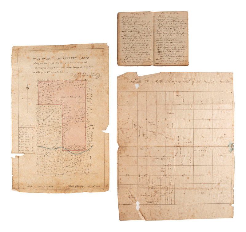
[MAPS & ATLASES]. Surveyor's ledger. Schuyler County, IL, 1867-1868. [With:] Four 19th-century land plats.
Sale 1069 - American Historical Ephemera & Photography
Lots Open
Aug 19, 2022
Lots Close
Aug 30, 2022
Timed Online / Cincinnati
Own a similar item?
Estimate
$200 -
300
Price Realized
$125
Sold prices are inclusive of Buyer’s Premium
Lot Description
[MAPS & ATLASES]. Surveyor's ledger. Schuyler County, IL, 1867-1868. [With:] Four 19th-century land plats.
Small leather-bound notebook, 3 3/4 in. x 6 in., with ornately embossed cover and handwritten title on cover "County Surveyor Record" above embossed "Ledger." Approx. 128pp utilized (heavy wear to spine, scuffing to corners, light soil). Identified to surveyor James W. Watts. A detailed record of surveys undertaken in Schuyler County, Illinois, including details of location and identifications of the individuals for whom the surveys were undertaken.
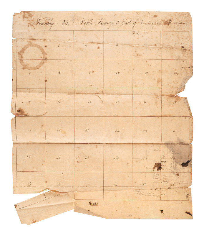
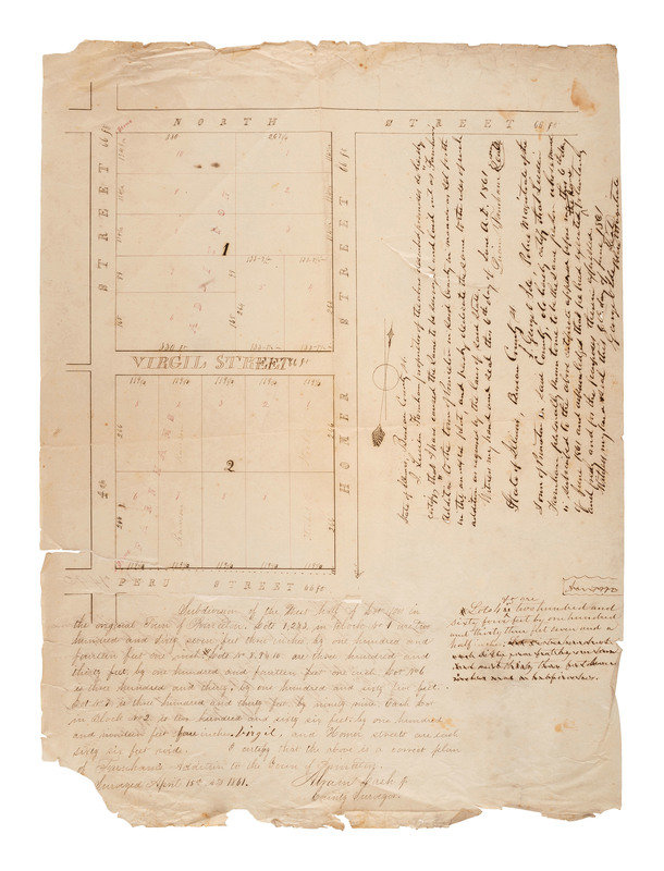
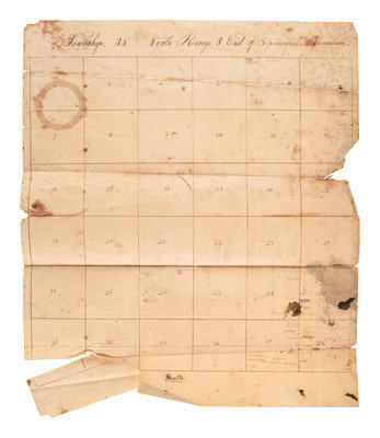
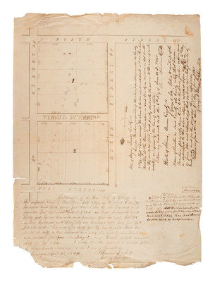
[With:] A group of 4 land-plats: the first showing the "Subdivision of the West half of Lot (100) in the original town of Princeton as surveyed by Abram Cash Jr., 15 April 1861, with a signed memorandum from Lucien Farnham indicating that as proprietor of described premises he initiated the land to be surveyed and "laid out as 'Farnham's Addition' to the town of Princeton" in Bureau County; a "Plan of Mr. Wm. Huntsleys' Land" surveyed by William Billington of Springfield, Illinois, October 1857; Township 35 North Range 4 East of 3rd Principal MeridienTownship; and 35 North Range, 3 East of 3 principal Meridian.
Property of a Midwest Collector
Condition Report
Contact Information
