


Lot 157
[MAPS & ATLASES]. A large group of 19th century maps, comprising:
Sale 1069 - American Historical Ephemera & Photography
Lots Open
Aug 19, 2022
Lots Close
Aug 30, 2022
Timed Online / Cincinnati
Own a similar item?
Estimate
$400 -
600
Lot Description
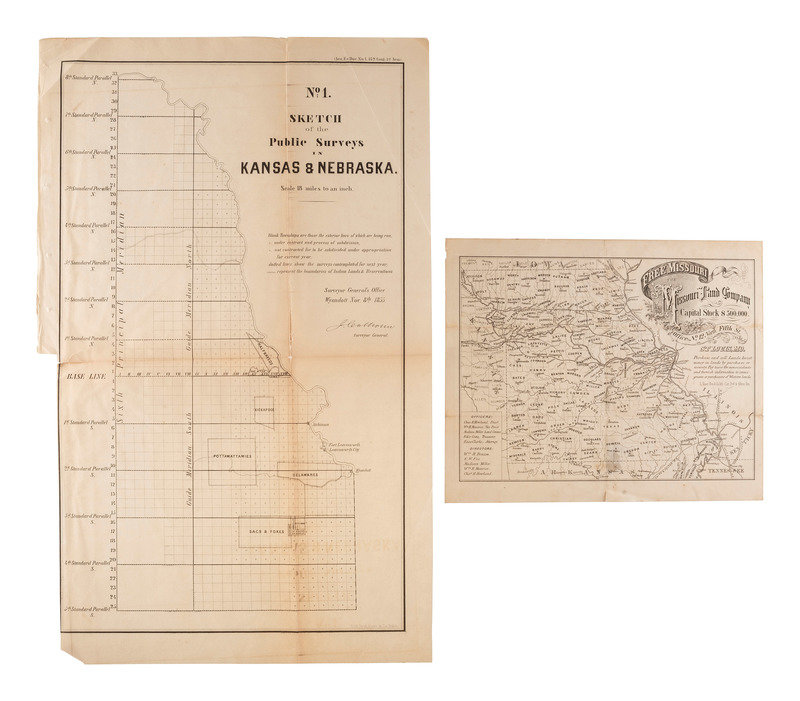
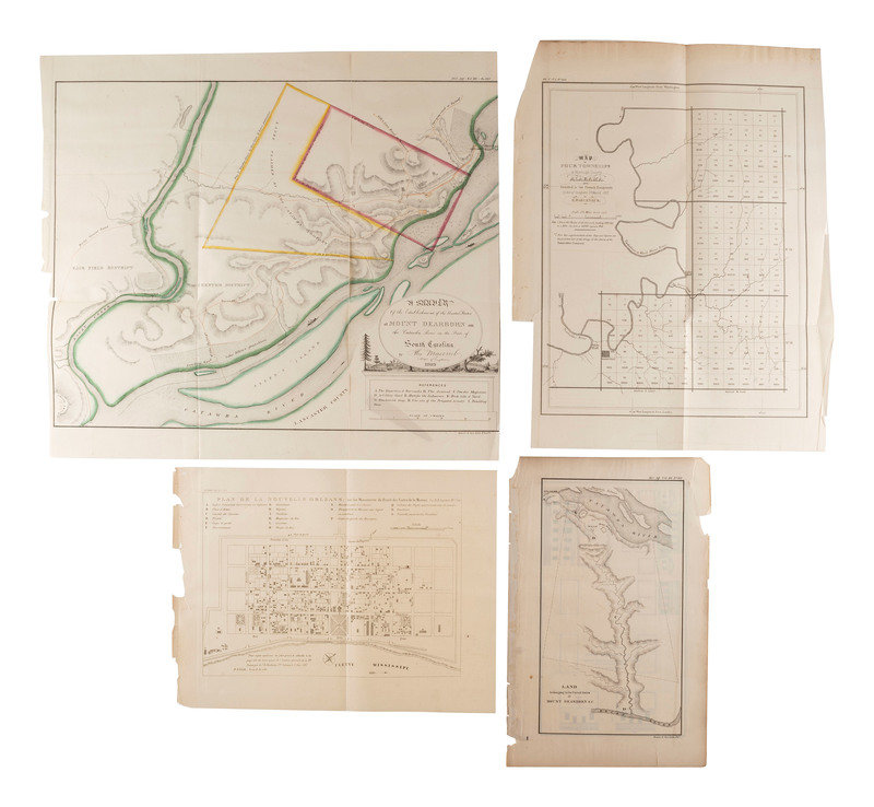
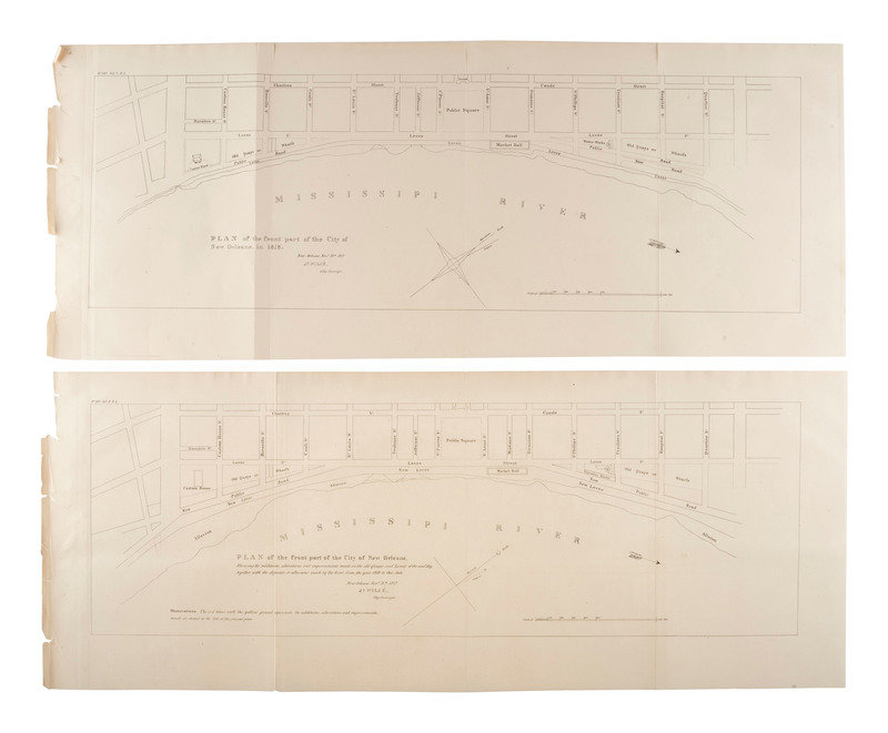
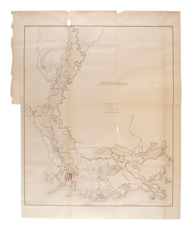
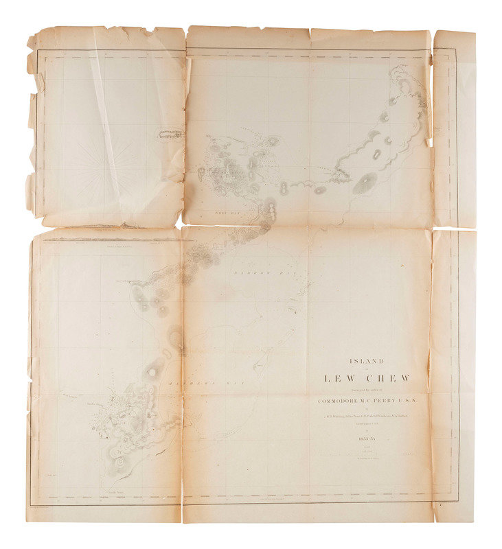
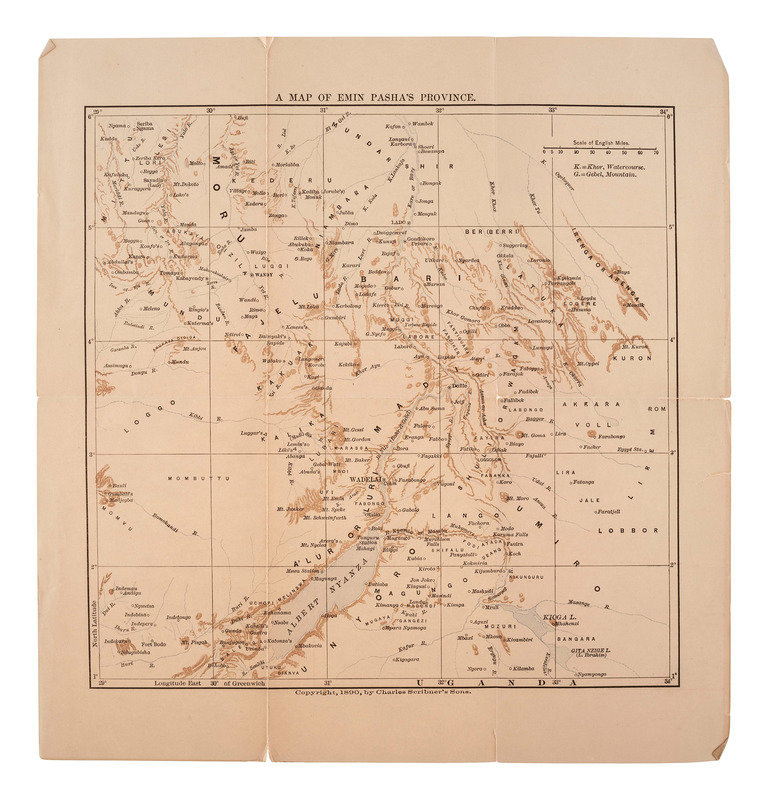
[MAPS & ATLASES]. A large group of 19th century maps, comprising:
GAST, Leopold (1810-1898) and August Herman Ludwig GAST (1819-1891). Free Missouri. The Missouri Land Company. Capital Stock $500,000. St. Louis: L. Gast Bro. & Co., [1865]. Lithographed map, image 10 1/2 x 7 13/16 in. (sheet 11 18/4 x 9 1/4 in.) Inset with the names of the officers and directors of the company. (Minor toning, short separation at lower margin.) RARE, no copies located in OCLC.
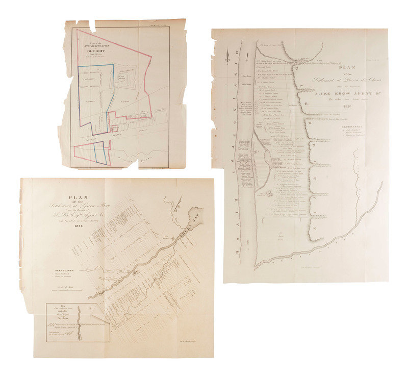
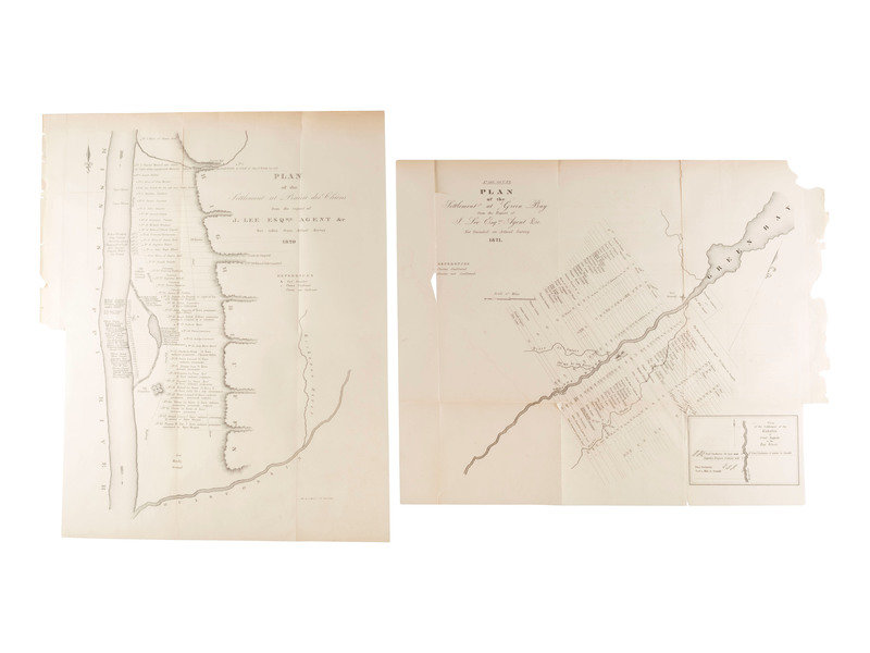
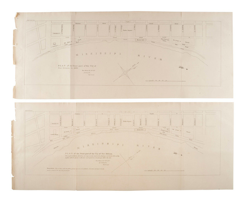
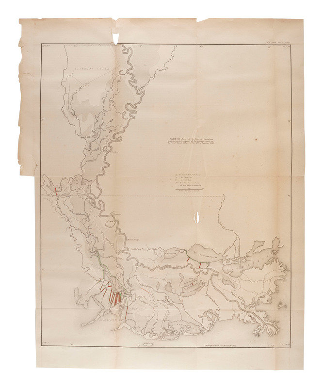
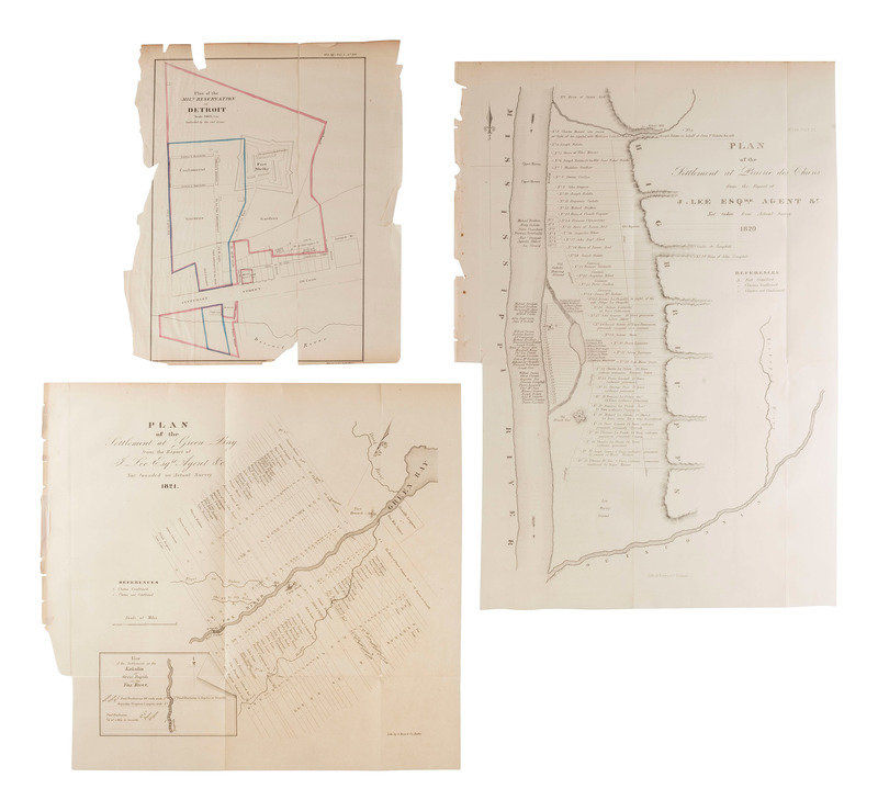
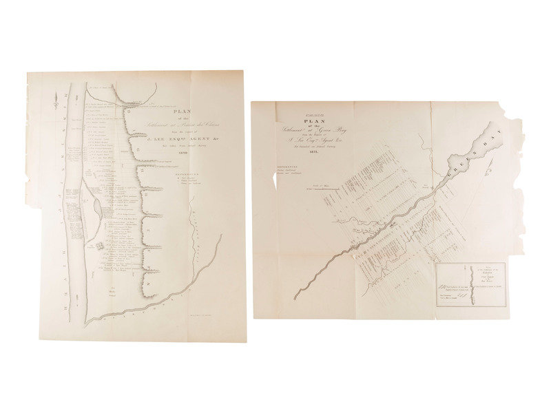
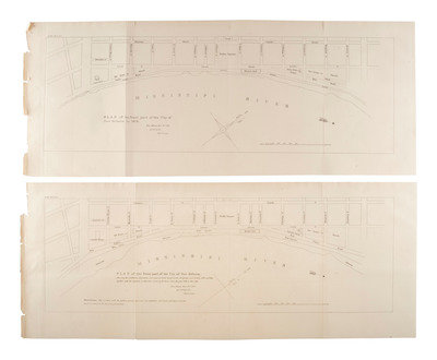
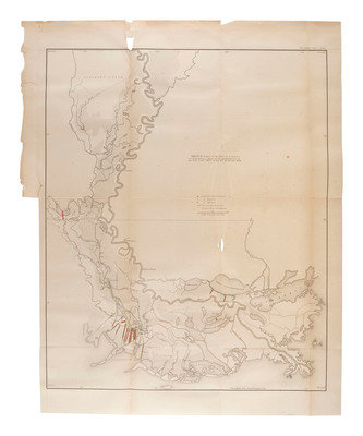
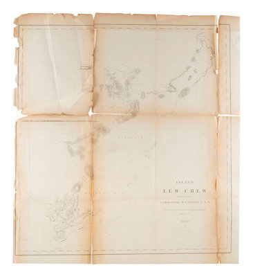
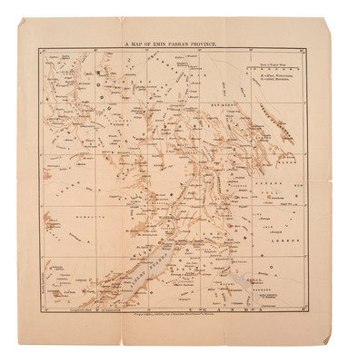
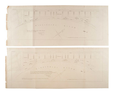
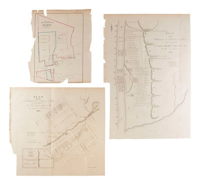
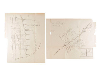
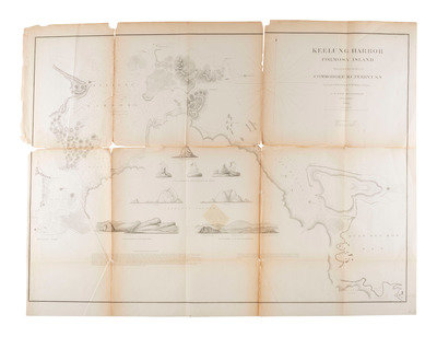
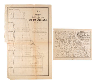
[With:] BELLIN, Jacques Nicolas. Plan de la Nouvelle Orleans, sure les Manuscrits du Dépôt des Cartes de la Marine. N.p.: N.p., n.d. Later imprint of Bellin's 1744 map. -- PAGUENAUD, E. Map of Four Townships in Marengo County Alabama. Granted to the French Emigrants, by Act of Congress 3rd March 1817, by E. Paguenaud. N.p.: N.p., n.d. -- Plan of the front part of the City of New Orleans. Shewing the additions, alterations and improvements made on the old Quays and Levees of the said City, together with the deposits or alluvions made by the River, from the year 818 to this date. New Orleans, Novr. 15th 1827. Jh. Pilié, City Surveyor. N.p.:N.p., n.d. -- No. 1. Sketch of the Public Surveys in Kansas & Nebraska. Wyandott, [KS]: Surveyor General's Office, 1855. -- MACOMB, Alexander. A Survey of the Establishment of the United States at Mount Dearborn on the Catawba River on the State of South Carolina. Philadelphia:Bowen & Co., [1860]. Lithographed map with hand coloring. (Separations at folds, lacking far right section with margins). [With:] Land belonging o the United States at Mount Dearborn S.C. and Plans of Public Buildings at Mount Dearborn S.C. -- And 11 others. Together 18 maps and plans, condition varies, a detailed condition report is available upon request.
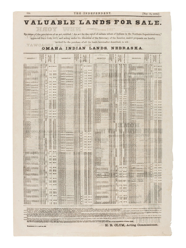
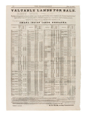
[Also with:] Valuable Lands for Sale...Omaha Indian Lands, Nebraska. Washington, D.C.: The Independent, 1873. 10 3/4 x 15 in.
This lot is located in Cincinnati.
Property of a Midwest Collector
Condition Report
Contact Information