Lot 20
[MAPS & ATLASES]. CASSINI, Giovanni Maria (1745-1824).
Sale 1069 - American Historical Ephemera & Photography
Lots Open
Aug 19, 2022
Lots Close
Aug 30, 2022
Timed Online / Cincinnati
Own a similar item?
Estimate
$300 -
500
Lot Description
[MAPS & ATLASES]. CASSINI, Giovanni Maria (1745-1824).
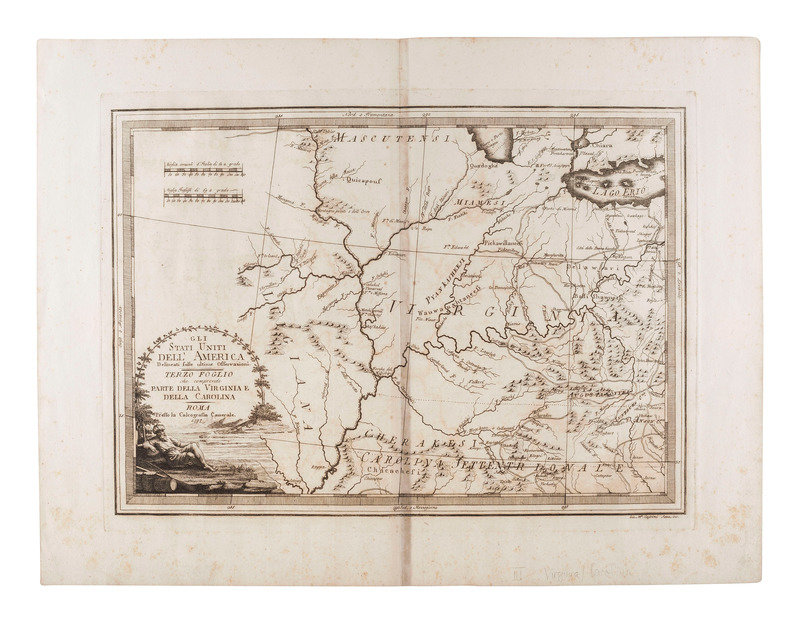
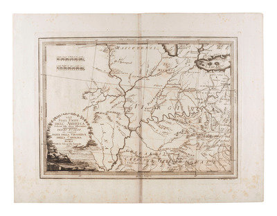
Gli Stati Uniti Dell' America Delineati sulle ultime Osservazioni Terzo Foglio che comprende Parte Della Virginia e della Carolina. Rome: Calcografia Camerale, 1797. Rome: Calcografia Camerale, 1797.
Engraved map of Western Virginia territory, image 477 x 333 mm (sheet 606 x 454 mm). Historiated cartouche. (Centerfold lightly darkened, marginal spotting). The region includes Ohio, Indiana, and Illinois, including an early printing of Chicago ("Chicagou"). Extensive depiction of the "Cherakesi" with 17 named Cherokee villages and other Indigenous groups.
Engraved map of Western Virginia territory, image 477 x 333 mm (sheet 606 x 454 mm). Historiated cartouche. (Centerfold lightly darkened, marginal spotting). The region includes Ohio, Indiana, and Illinois, including an early printing of Chicago ("Chicagou"). Extensive depiction of the "Cherakesi" with 17 named Cherokee villages and other Indigenous groups.
This lot is located in Cincinnati.
Property of a Midwest Collector
Condition Report
Contact Information


