Lot 717
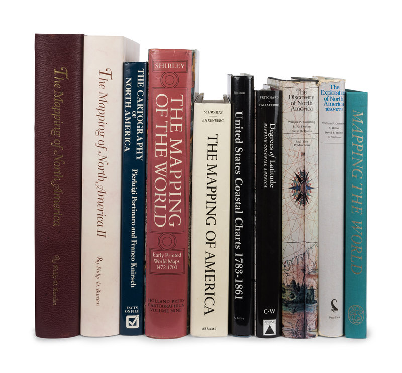
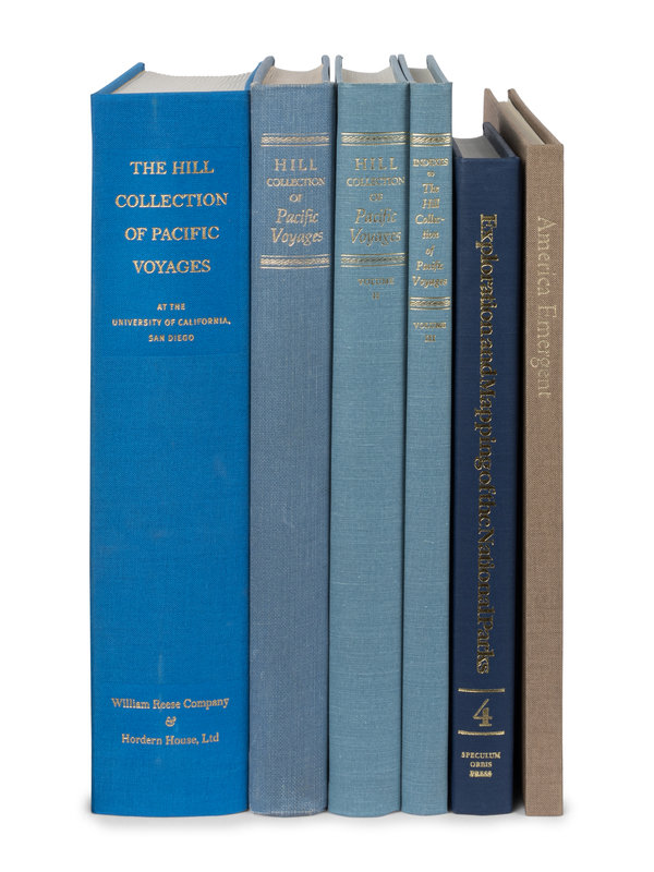
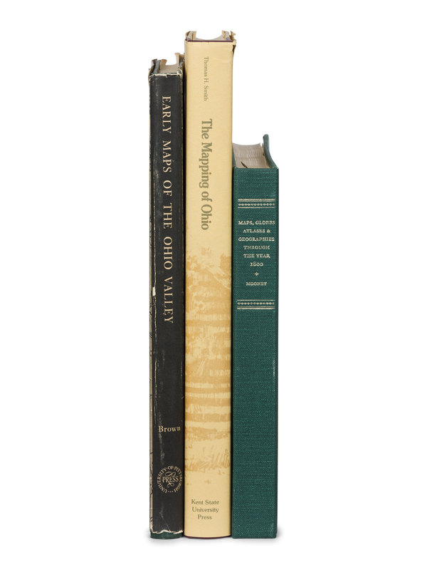
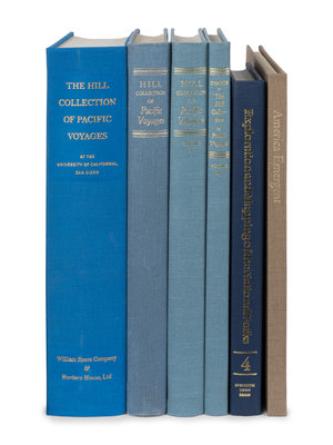
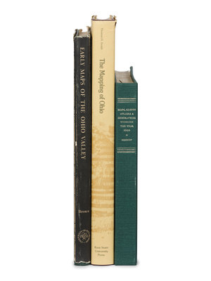
[BIBLIOGRAPHIES -- CARTOGRAPHY]. A group of 16 works regarding the mapping of the Americas in 19 volumes, various folio and 4to sizes, most FIRST EDITIONS, condition generally fine.
Sale 1097 - Fine Printed Books & Manuscripts, Including Americana
Lots 1-410
Nov 8, 2022
9:00AM CT
Lots 411-717
Nov 9, 2022
9:00AM CT
Live / Chicago
Own a similar item?
Estimate
$400 -
600
Price Realized
$469
Sold prices are inclusive of Buyer’s Premium
Lot Description
[BIBLIOGRAPHIES -- CARTOGRAPHY]. A group of 16 works regarding the mapping of the Americas, comprising:
BURDEN, Philip D. The Mapping of North America. Hertfordshire, UK: Raleigh Publications, 1996. Publisher's half calf. INSCRIBED BY PHILIP D. BURDEN. -- GUTHORN, Peter J. United States Coastal Charts 1783-1861. Exton, PA: Schiffer Publishing Ltd., 1984. Publisher's blue cloth; original dust jacket. -- PORTINARO, Pierluigi and KNIRSCH, Franco. The Cartography of North America 1500-1800. New York: Facts on File, Inc., 1987. Publisher's dark blue cloth; original dust jacket. -- SHIRLEY, Rodney W. The Mapping of the World: Early Printed World Maps, 1472-1700. London: The Holland Press, 1983. Publisher's red cloth; original dust jacket. -- SMITH, Thomas H. The Mapping of Ohio. [Kent, OH]: The Kent State University Press, 1977. Publisher's ivory cloth; original dust jacket. -- The Hill Collection of Pacific Voyages at the University of California, San Diego. New Haven: William Reese Company, 2004. Publisher's blue cloth. -- Together, 16 works in 19 volumes, various folio and 4to sizes, most FIRST EDITIONS, condition generally fine.
This lot is located in Chicago.
Property from the Collection of Dorothy and Richard Fitch
Condition Report
Contact Information
Auction Specialist
