Lot 216
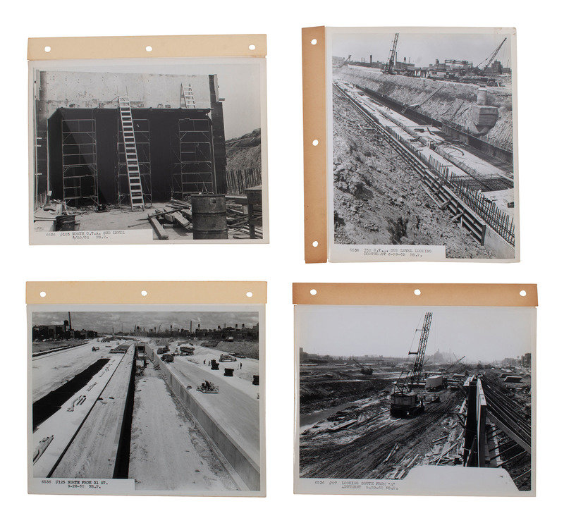
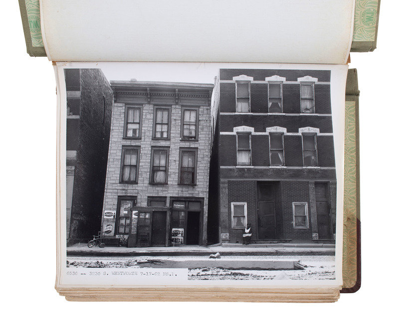
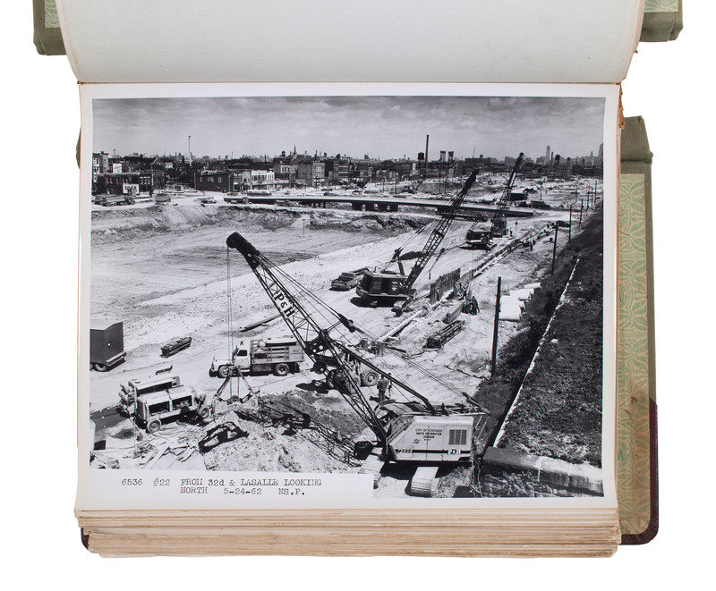
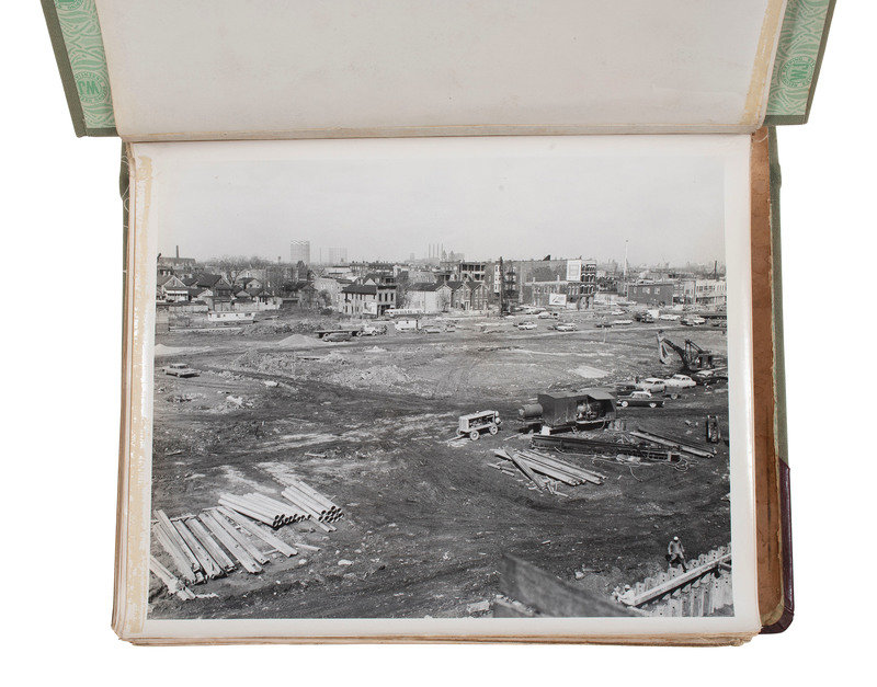
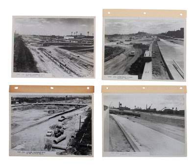
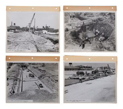
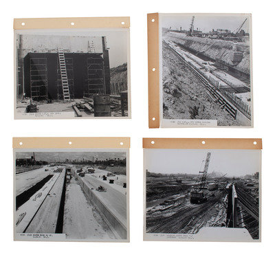
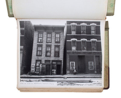
[SEGREGATION] -- [CHICAGO]. A group of over 300 images documenting the construction of the Dan Ryan Expressway and destruction of the Bronzeville neighborhood, ca 1961-1962.
Sale 1118 - African Americana
Feb 28, 2023
10:00AM ET
Live / Cincinnati
Own a similar item?
Estimate
$400 -
600
Price Realized
$1,197
Sold prices are inclusive of Buyer’s Premium
Lot Description
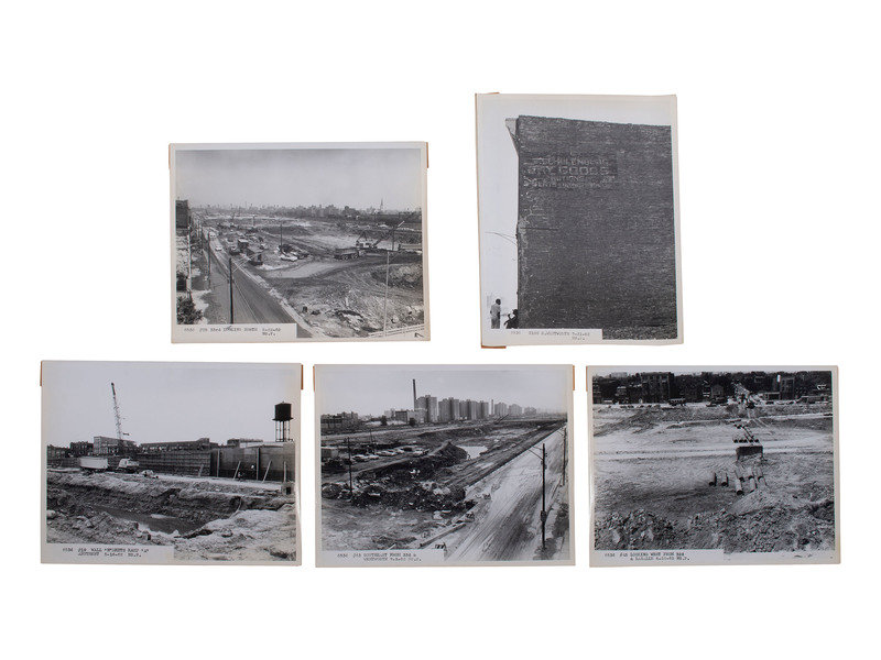
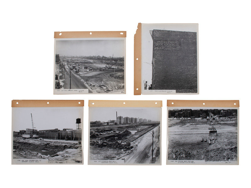
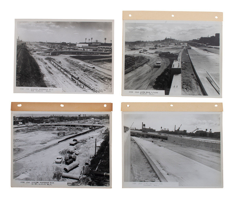
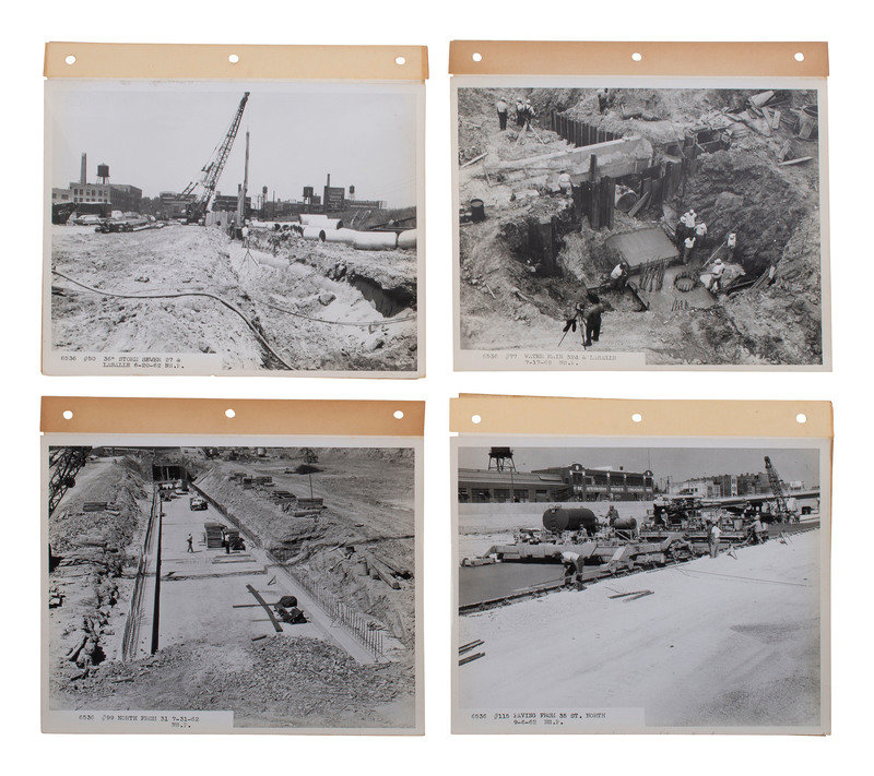
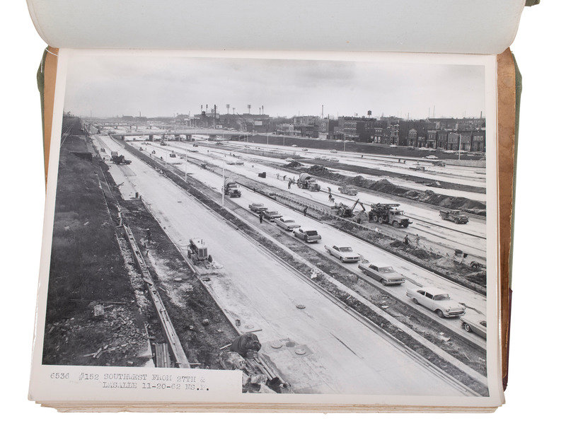
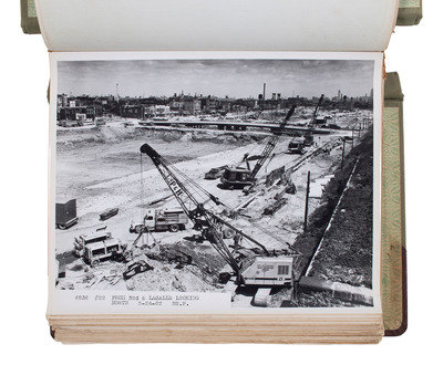
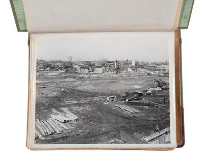
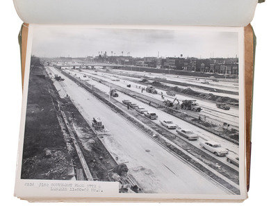
[SEGREGATION] -- [CHICAGO]. A group of over 300 images documenting the construction of the Dan Ryan Expressway and destruction of the Bronzeville neighborhood, ca 1961-1962.
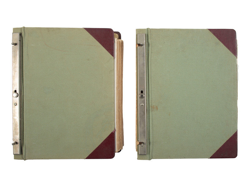
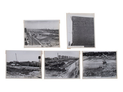
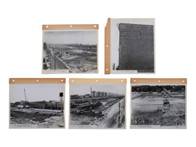
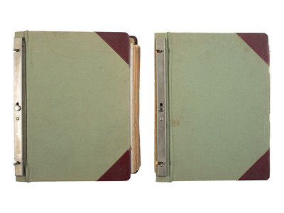
A group of two 9 x 11 1/2 in. slotted lock sectional post binders together containing a total of more than 175 black and white photographs, each measuring approximately 8 x 10 in. Majority of photographs affixed to linen with extended margin to allow for attachment of paper board with 3-hole punch. The first binder houses approximately 89 images and also includes 3 pages of compiled xerox newspaper clippings and a 2pp article on "Chicago's New South Expressway" both of which seem to indicate that William E. Schweitzer & Co. may have been the originator of the photography. The second album also houses approximately 89 images. Photographs document the construction of the Dan Ryan Expressway through the South Side of Chicago, and most are identified in the lower left corner with the specific location along the construction route. A large number of images backstamped "Northshore Photo Service." A small number retain the paper ID from "a.a.a. photographers / Legal & Evidence Photos / 3107 West 71st Street Chicago 29, Illinois" on verso.
[With:] Nearly 150 loose black and white photographs of the same size and content. -- A single 14 x 11 in. photograph with backstamp of photographer "Casey Ryback" and "Schweitzer Construction Co."
Together, more than 300 images showing ongoing construction. Lot does contain duplicates.
The 12-mile long Dan Ryan Expressway was a massive public works project which cut north/south through Chicago's South Side, physically separating the predominantly white Bridgeport neighborhood from poorer, Black neighborhoods to the east including Bronzeville. The construction of this physical barrier reinforced a dividing line between Black and white communities, further exacerbating segregationist policies and boundaries that were already in existence. The end result was a highway that connected suburban whites to the downtown business district while simultaneously gutting traditionally Black neighborhoods and businesses. The photographs in the collection primarily document construction, but also provide glimpses of the neighborhoods along LaSalle Street and Wentworth Avenue through which the expressway was constructed. Multiple images contain views of the Robert Taylor Homes public housing complex which rose along two miles of the Dan Ryan Expressway. Robert Taylor Homes, touted as an "urban renewal" project, was the largest public housing project in the country at the time of its 1962 completion. It soon became synonymous with racism, segregation, and the failure of public housing policy. Another South Side landmark, Comiskey Park, is also visible in several images. A small number of images picture African American construction workers and neighborhood residents.
This lot is located in Cincinnati.
Condition Report
Contact Information
Auction Specialist
