Lot 109
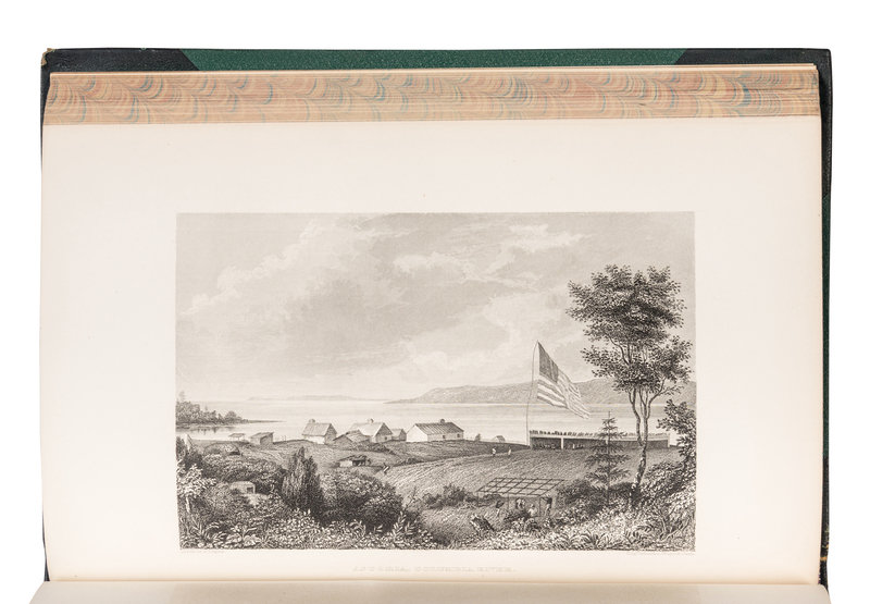
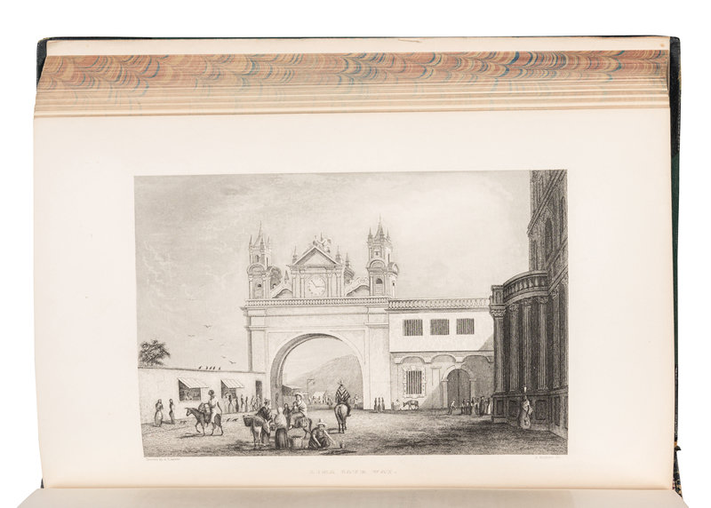
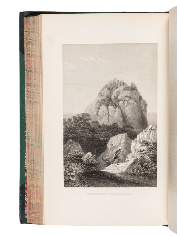
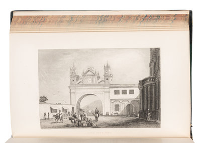
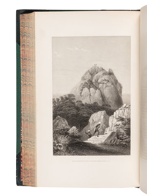
6 volumes, comprising 5 text volumes and atlas, imperial 8vo (269 x 173 mm). Text: 9 engraved double-page maps, 64 steel-engraved plates; atlas: 5 engraved folding maps and charts (one hand-colored). (Minor marginal browning and spotting, a few short separations to folding maps, a few leaves disbound vol.I.) Later quarter morocco gilt, spines gilt (a few hinges starting, slight wear to extremities). Provenance: Collector's bookplate, a few pencil marks.
FIRST OCTAVO EDITION "of the great American scientific voyage of the nineteenth century" (Forbes). 1000 copies of the imperial octavo edition were printed for sale, and later octavo editions omitted the Atlas. Wilkes' ships surveyed and charted 1,600 miles of coastline and discovered the Shackleton Ice Shelf and Wilkes Land in the present-day Australian Antarctic Territory. The United States Exploring Expedition "was the first American scientific expedition of any size, charged to 'extend the bounds of Science and promote the acquisition of knowledge,' and was one of the most ambitious Pacific expeditions ever attempted" (Forbes 1574). With a few newspaper clippings tipped in to vol.I. Haskell 2B, 17; Howes W-414; Rosove 353.B1.
