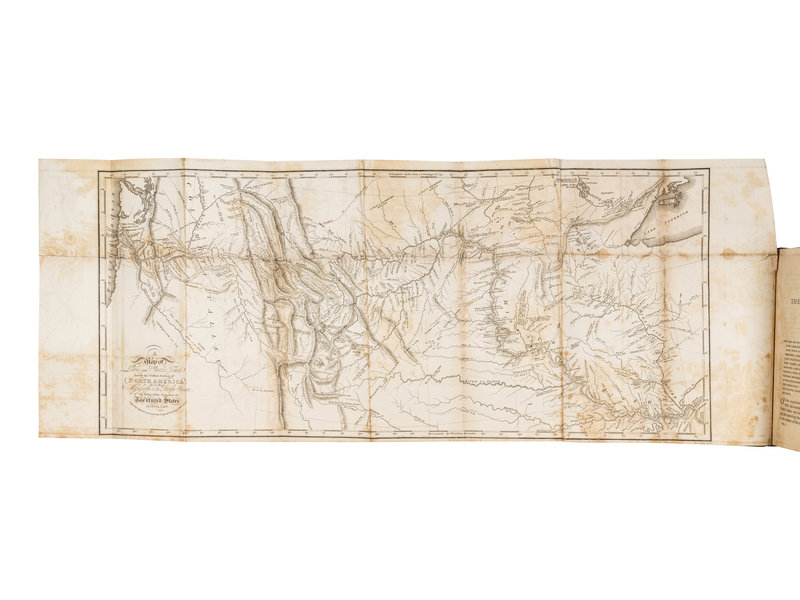
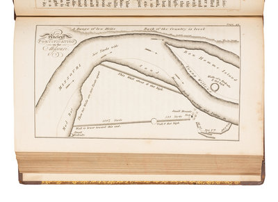
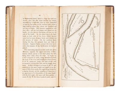
LEWIS, Meriwether and William CLARK. Travels to the Source of the Missouri River, and Across the American Continent to the Pacific Ocean... in… 1804, 1805, and 1806. L, 1817. Third English edition, WITH THE IMPORTANT MAP as frontispiece.
LEWIS, Meriwether (1774-1809) and William CLARK (1770-1838). Travels to the Source of the Missouri River, and Across the American Continent to the Pacific Ocean... in the years 1804, 1805, and 1806. London: Longman, Hurst, Rees, Orme, and Brown, 1817.
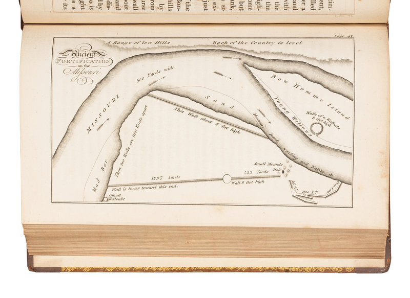
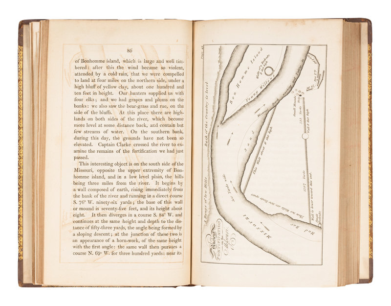
3 volumes, 8vo (216 x 131 mm). Large engraved folding route map, 5 engraved maps. (Folding map with some tears with old cellotape repairs verso not affecting image, some minor spotting and offsetting, vol.II lacking half-title.) Contemporary calf gilt, dark brown morocco lettering-pieces gilt, edges marbled (some wear with repairs to joints, hinges and corners, vol.II rear cover detaching, some minor staining). Provenance: Edwy Rolfe Brown (1868-1942), Oilman (bookplates).
Third English edition, WITH THE IMPORTANT MAP as frontispiece: "A Map or Lewis and Clark's Track Across the Western Portion of North America, from the Mississippi to the Pacific, by Order of the Executive of the United States in 1804, 5 & 6." The map, widely considered to be one of the most important maps of the United States, is a close copy of the map which appeared in both the first English and first American editions. According to Wheat, "This 1814 map was the progenitor of many later maps, and one of the most influential ever drawn, its imprint still to be seen on maps of Western America...This was a great map, a milestone of mapping in its time, and countless place names it gave to the face of America remain today as an ineradicable cultural heritage." Sabin 40830; Wagner-Camp 13:4.
