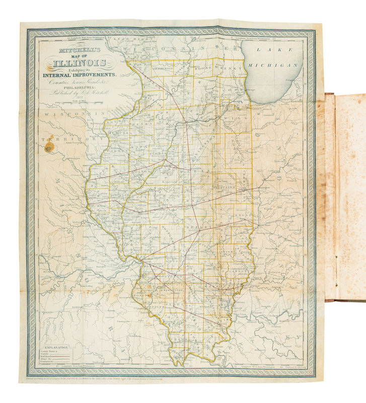
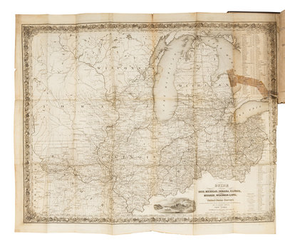
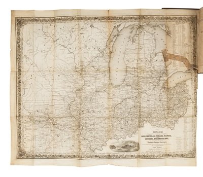
8vo. Engraved folding map printed in blue with hand-coloring in outline. (Some spotting.) Original tan cloth-backed printed green boards (hinges tender, spine faded, some wear and soiling, spotting to endpapers). Provenance: J. Mc. Gahen 2nd (stamp); Dudley Bell Priester (1923-2017), Mississippi River collector and bibliographer (sold Bloomsbury, 20 November 2009, lot 55D). FIRST EDITION, second issue with “Animals” corrected on title-page and without 1838 on the cover title. "The publisher is probably the author. It was got up mainly to promote the sale of Illinois Lands then owned by John Grigg of Philadelphia" (Sabin 34260). Bradford 3630; Buck 313; Graff 2840; Howes M-689.
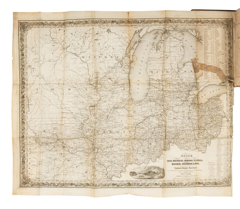
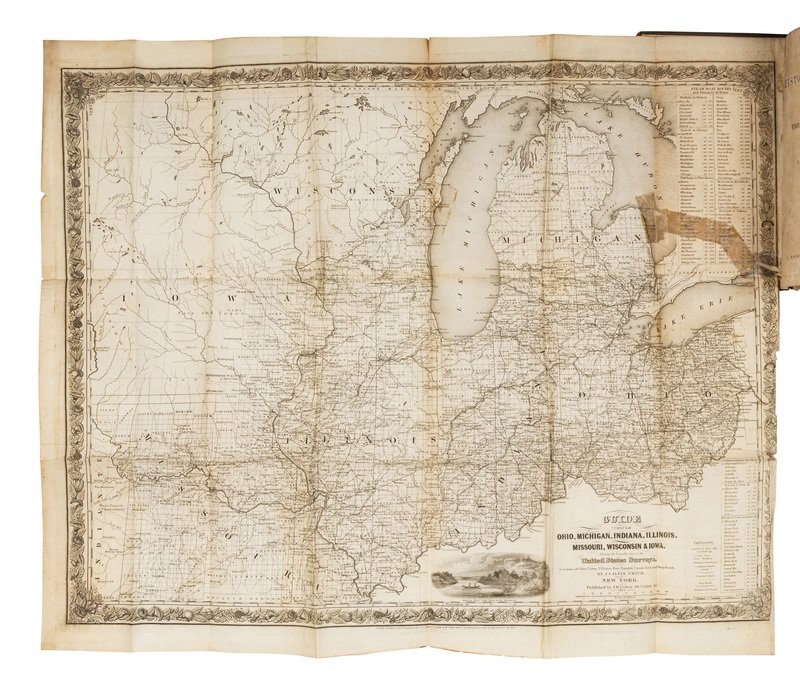
[With:] BROWN, Henry (1789-1849). The History of Illinois from its First Discovery and Settlement to the Present Time. New York: J. Winchester, 1844. 8vo (213 x 132 mm). Engraved folding map frontispiece. (Map with a few tears crossing image with old cellotape repairs, some minor toning and spotting throughout.) Contemporary brown blind-stamped cloth, spine gilt-lettered (hinges starting with front hinge reinforced, first few gatherings slightly sprung, lacking 1/4-in. portion at head of spine, some other wear). Provenance: Isaac Rhitt?, La Salle, Illinois (early signature); Dudley Bell Priester (1923-2017), Mississippi River collector and bibliographer (sold Bloomsbury, 20 November 2009, lot 65). FIRST HISTORY OF ILLINOIS with a large folding map depicting Illinois, Iowa, Michigan, Missouri, and Ohio. "Chronologically the first, intrinsically the worst, history of this state" (Howes). Bradford 590; Graff 421; Howes B-839.
