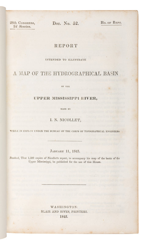
8vo. 170 pp. Engraved folding map (closed tear at upper left corner, spotting throughout). Contemporary paper wrappers with printed paper label on upper cover. Provenance: Dudley Bell Priester (1923-2017), Mississippi River collector and bibliographer (sold Bloomsbury, 19 November 2009, lot 104).
FIRST EDITION, House issue, the map a bit reduced in size from the Senate issue. Nicollet, a French-born scientist, accompanied John Charles Fremont on expeditions to the Red Pipestone Quarry in far Western Minnesota in 1838-1839. The present report resulted from the surveys of Fremont of 1842-1848, conducted by the U.S. Army's Corps of Topographical Engineers. "The Corps, accompanied by scientists and artists, sponsored expeditions to promote development and settlement and actively publicized its findings" (William H. Goetzmann and Glyndwr Williams, The Atlas of North American Exploration, 1992, p. 158).
Nicollet's "Map of the Hydrographic Basin of the Upper Mississippi River" was "based on some 90,000 instrument readings and 326 distinctly determined astronomical points. With its overall regional concept of a 'hydrographic basin,' Nicollet's map and the accompanying report were years ahead of their time. Had he lived one more decade, Nicollet would undoubtedly have become the official government cartographer of the whole trans-Mississippi West" (Goetzmann, Exploration and Empire, 1993, p. 313).


