Lot 361
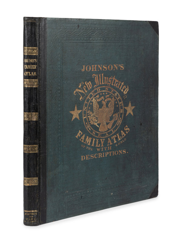
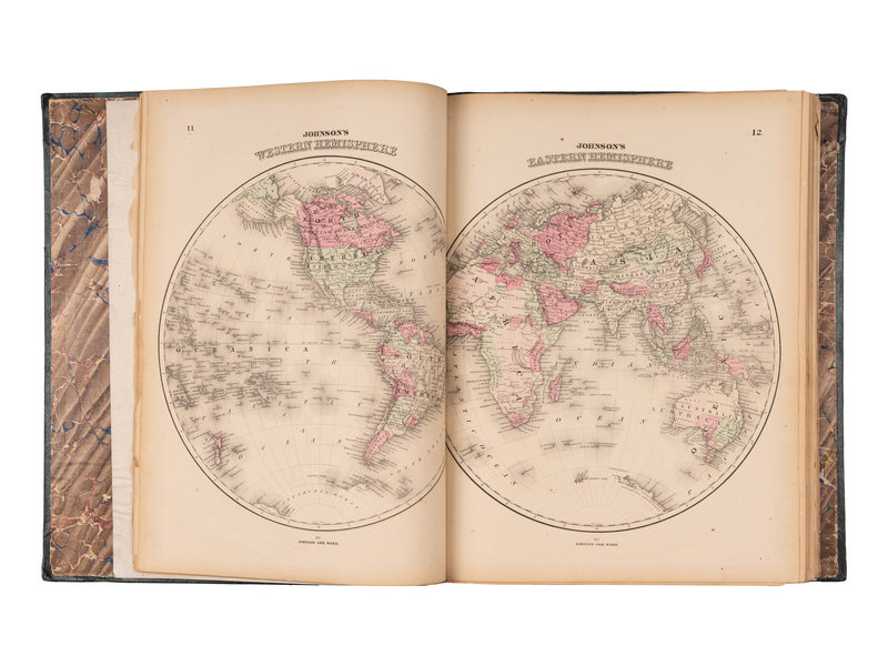
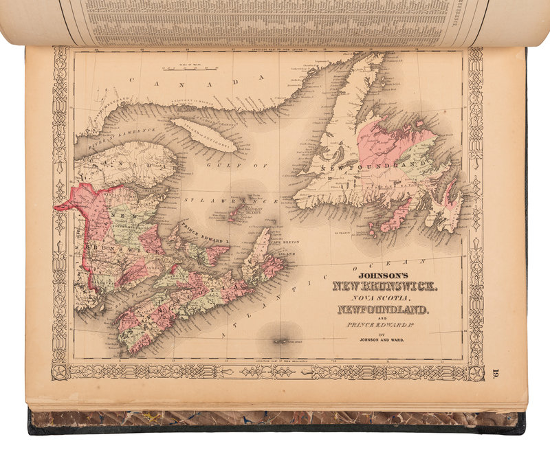
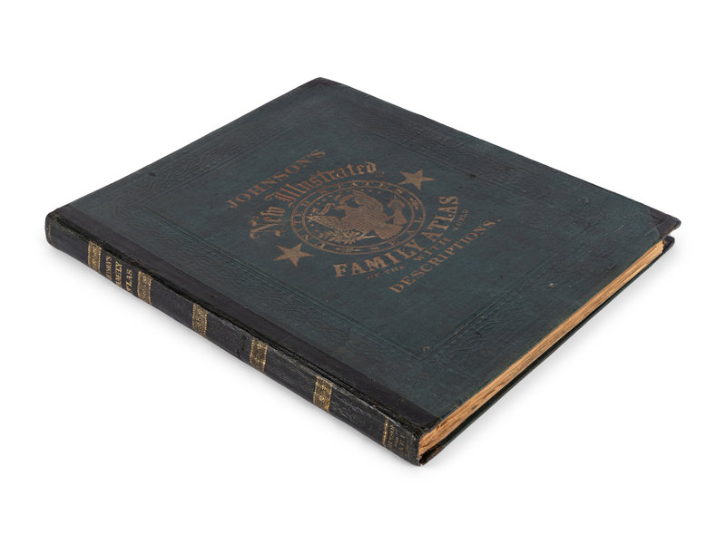
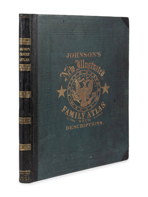
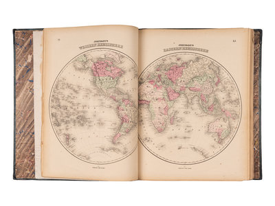
[ATLAS]. FISHER, Richard Swainson. Johnson's New Illustrated… Family Atlas. Maps compiled, drawn, and engraved under the supervision of J.H. Colton and A.J. Johnson. NY: Johnson & Ward, [1865]. Early 1865 edition with updates.
Sale 1184 - Fine Printed Books & Manuscripts, including Americana
May 11, 2023
10:00AM CT
Live / Chicago
Own a similar item?
Estimate
$500 -
700
Price Realized
$1,008
Sold prices are inclusive of Buyer’s Premium
Lot Description
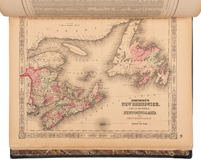
[ATLAS]. FISHER, Richard Swainson. Johnson's New Illustrated (Steel Plate) Family Atlas. Maps compiled, drawn, and engraved under the supervision of J.H. Colton and A.J. Johnson. New York: Johnson & Ward, [1865].
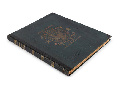
Folio (457 x 337 mm). 58 engraved maps (comprising 36 double-page, 22 single-page); engraved frontispiece, double-page engraved chart showing mountains and rivers, double-page engraved plate depicting flags, engraved Universal Time chart, 2 engraved charts of coats of arms. (Some dampstaining and toning.) Contemporary cloth (rebacked preserving original endpapers).
Early 1865 edition with updates on the assassination of Abraham Lincoln and subsequent pursuit and death of John Wilkes Booth; predates later edition with double-page map of "Nebraska, Dakota, Idaho, and Montana" but including the unnumbered Civil War-era map of the Vicinity of Richmond and Peninsular Campaign in Virginia and the New Military Map of the United States. Not in Rumsey.
Property from the Patrick Atkinson Collection, Minneapolis, Minnesota
Condition Report
Contact Information
Auction Specialist
