LEWIS, Meriwether (1774-1809) and William CLARK (1770-1838).
Sale 1192 - American Historical Ephemera & Photography
Lots 1-294
Jun 15, 2023
10:00AM ET
Lots 295-567
Jun 16, 2023
10:00AM ET
Live / Cincinnati
Own a similar item?
Estimate
$1,500 -
2,500
Price Realized
$4,410
Sold prices are inclusive of Buyer’s Premium
Lot Description
LEWIS, Meriwether (1774-1809) and William CLARK (1770-1838).
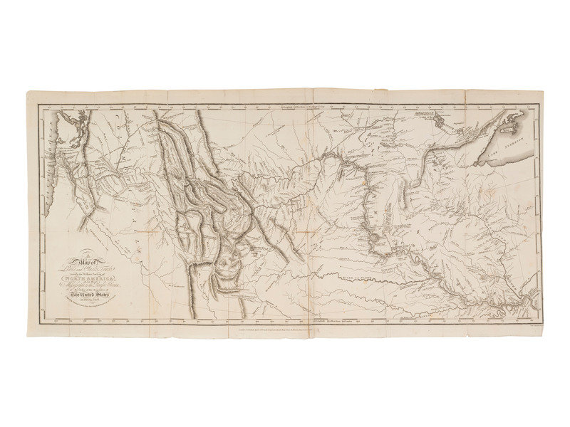
A Map of Lewis & Clark's Track Across the Western Portion of North America, from the Mississippi to the Pacific Ocean, By order of the Executive of the United States in 1804, 5 & 6. London: Longman, Hurst, Rees, Orme, and Brown, 1814.
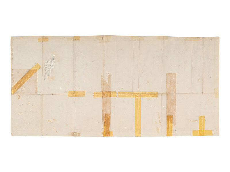
Engraved map. Overall sheet 336 x 700 mm. Engraved folding map after Clark by S. Lewis. (Separations to folds, a few with old repairs or cellotape repairs verso.) Provenance: Howard Estes (signature verso).
FIRST LONDON EDITION, dated April 28th 1814, and printed to accompany the first English edition of Lewis & Clark's History of the Expedition Under the Command of Captains Lewis and Clark, to the Sources of the Missouri and included in subsequent London editions. The London edition of the official map is slightly larger than the Philadelphia edition, and omits the demarcations of Indian settlements in the West. According to Rumsey, "The map faithfully copies Samuel Lewis's map, except in the area of the "Southern Pass" where the pass itself is not named and the "Liah tan Bands" of Indians are not named."
Condition Report
Auction Specialist


