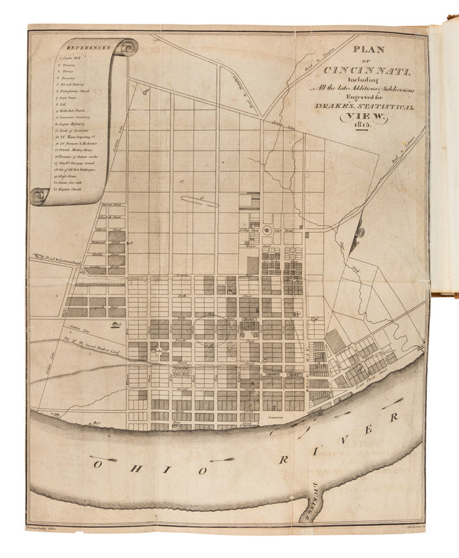
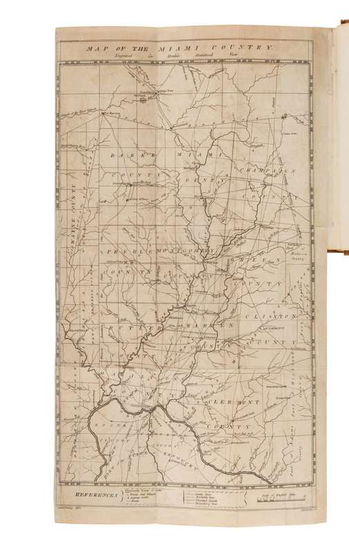
[CINCINNATI]. DRAKE, Daniel (1785-1852). Natural and Statistical View, or Picture of Cincinnati and the Miami Country, Illustrated by Maps. Cincinnati, OH: Printed by Looker and Wallace, 1815.
12mo (174 x 106 mm). 2 folding engraved maps by J.H. Seymour after Thomas Danby, errata on X[2] verso. (Some toning, a few short tears occasionally affecting text and crossing the borders of maps, a few with old cellotape repairs.) 20th-century tan morocco gilt-ruled, red and black morocco lettering-pieces gilt to spine; folding case. Provenance: John P. Foote (contemporary signature).
FIRST EDITION of "the first organized study of the geology of western Ohio and eastern Indiana, describing the elephant fossils of Big Bone Lick and giving the first suggestion made in America of the connection between granite erratics and ice," (Hook & Norman 655). With a modern magnifying glass laid into case.


