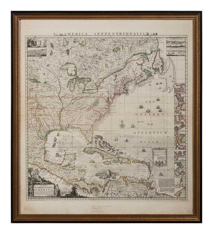
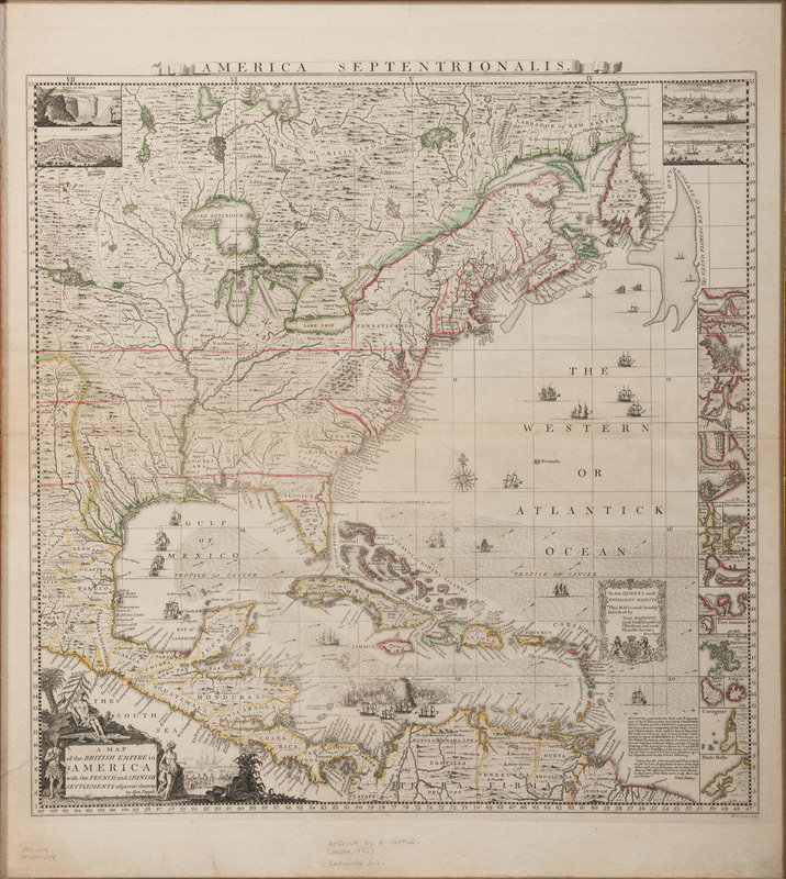
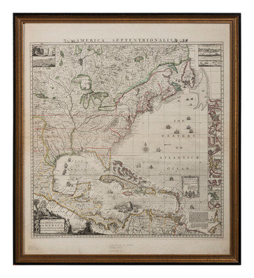
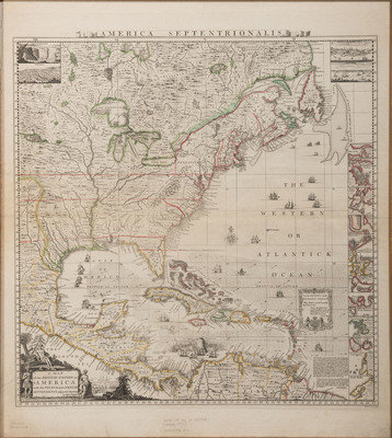
POPPLE, Henry (d.1743). A Map of the British Empire in America with the French and Spanish Settlements adjacent therto. London, ca 1734.
Sale 1278 - The Donald F. Moylan, M.D. Collection of American Furniture, Folk & Decorative Arts, Part I
Nov 3, 2023
10:00AM ET
Live / Cincinnati
Own a similar item?
Estimate
$4,000 -
6,000
Price Realized
$4,410
Sold prices are inclusive of Buyer’s Premium
Lot Description
POPPLE, Henry (d.1743). A Map of the British Empire in America with the French and Spanish Settlements adjacent therto. London, ca 1734.
Engraved map of America, hand-colored in outline, visible area 23 1/8 x 20 1/2 in. (587 x 521 mm). Framed (unexamined out of frame). Decorative cartouche depicting Native Americans and European settlers, insets of Niagara Falls, Mexico, Quebec, and New York, small insets of 18 important harbors including Boston, New York, Charleston, and Porto Bello.
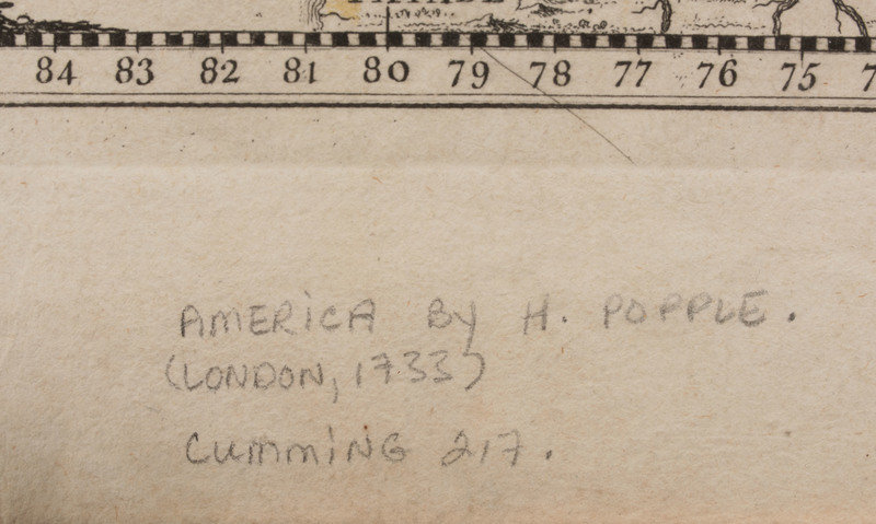
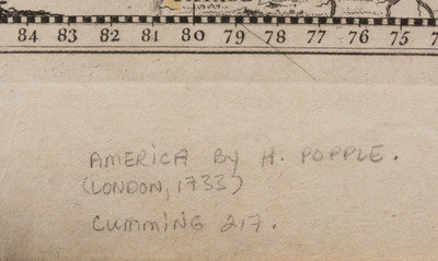
FIRST EDITION, BABINSKI'S FIRST STATE of Popple's key map: without imprint below border at lower left, imprint bottom right "W.H. Toms Sculp.", with the course of the Spanish galleons not present, Cape May and Cape Hinlopen not named off Delaware Bay. This copy is like "most, if not all, colored copies [which] do not have the 4 corner views or the title cartouche at bottom left colored" (Babinski). The key map accompanied Popple's first large-scale map of North America printed on 20 sheets. Babinski, Henry Popple's 1733 Map of the British Empire in America Key Map; Cumming 217.
This lot is located in Cincinnati.
Condition Report
Auction Specialists
