

DELISLE, Guillaume (1675-1726). Tabula Geographica Mexicae et Floridae&c. Amsterdam: Covens & Mortier, 1722.
Sale 1313 - The Donald F. Moylan, M.D. Collection of American Furniture, Folk & Decorative Arts, Part II
Mar 14, 2024
10:00AM ET
Live / Cincinnati
Own a similar item?
Estimate
$800 -
1,200
Price Realized
$572
Sold prices are inclusive of Buyer’s Premium
Lot Description
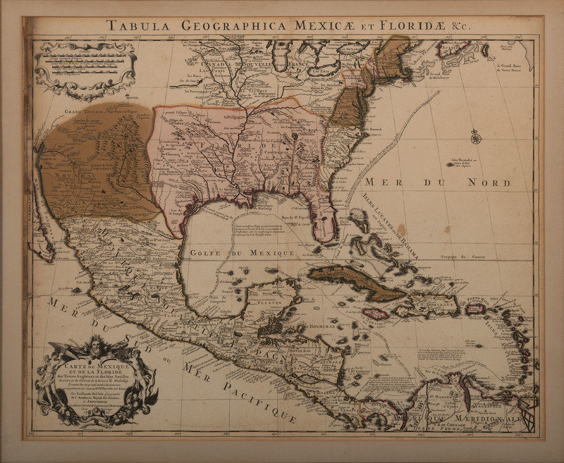
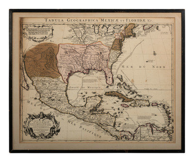
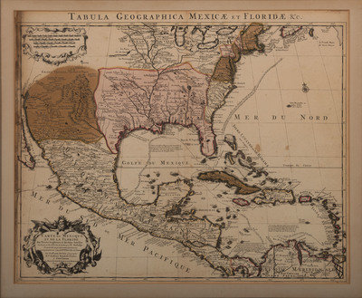
DELISLE, Guillaume (1675-1726). Tabula Geographica Mexicae et Floridae&c. Amsterdam: Covens & Mortier, 1722.
Engraved map of the United States, Mexico, and the Caribbean with hand-coloring in wash and outline, visible area 19 x 23 1/2 inches. (483 x 597 mm). Framed (unexamined out of frame).
One of the first maps to accurately depict the Mississippi River, showing North America from Lake Champlain to Florida and Central America.
Condition Report
Auction Specialists