Condition Report
Contact Information
Lot 4
Lot Description
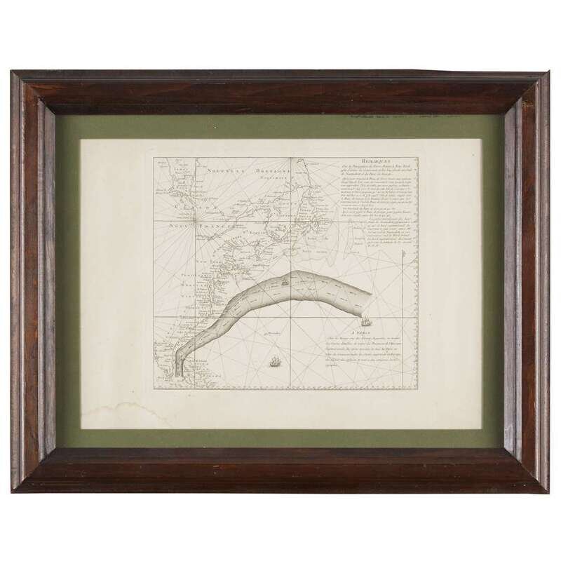
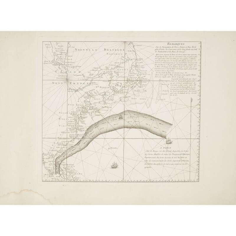
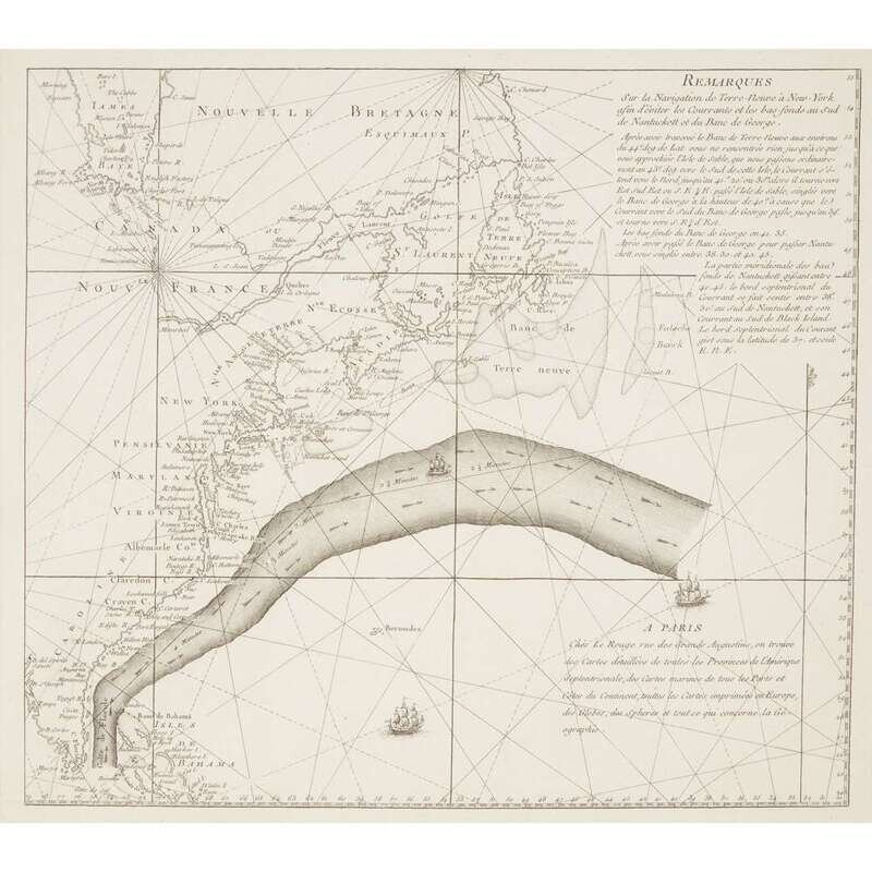
Engraving on period French watermarked laid paper, framed.
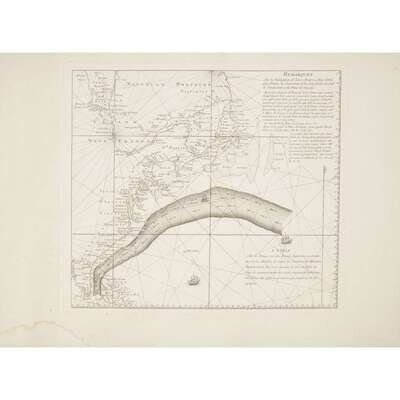
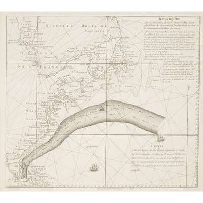
Plate mark: 13 1/4 in. x 15 1/16 in.; Neat line: 12 1/2 in. x 14 1/4 in.; Sheet: 18 1/4 in. x 24 5/16 in.Benjamin Franklin and his cousin Timothy Folger- a Nantucket merchant captain- are credited with formally naming the Gulf Stream. A naturally occurring river within the Atlantic Ocean, it was known to Spanish navigators for centuries but kept secret. American merchants had recognized a "Northeast current" that shortened their return trip from Europe by as much as two weeks and whalers were familiar with the current by observing the migration of whales. Together, Franklin and Folger produced a chart showing the location of the Gulf Stream in 1768, first published in London. Franklin had this English chart translated into French and printed in Paris by Le Rouge with the intention of providing copies to all French captains assisting the American colonies during the War of Independence.
Provenance: This is almost certainly one of a group of Le Rouge's Chart of the Gulf Stream brought to Philadelphia by Benjamin Franklin (1705-1790) upon completion of his role as minister plenipotentiary to France in 1785. The Charts descended to Sarah Franklin Bache (1743-1808), thence to Benjamin Franklin Bache (1769-1798), Dr. Franklin Bache (1792-1864), Charles Meigs Bache (1829-1890), Franklin Bache (1869-1946), Henrietta Bache Jayne (1908-1977), Timothy Jayne (1932-2018), to present owner.
In the 19th century, several of these Charts were obtained by prominent Philadelphia book and map collectors.
Dr. Thomas Hewson Bache (1826-1912), a son of Dr. Franklin Bache, presented one with the identical watermark to The Library Company in the 19th century. Franklin Bache presented another to the Library of Congress in 1935.
