Lot 318
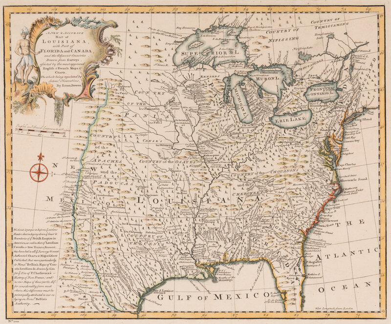
[MAPS & VIEWS]. BOWEN, Emanuel. A new & accurate map of Louisiana. 1747.
Sale 2065 - Fine Printed Books and Manuscripts, Including Americana
Nov 14, 2024
9:00AM CT
Live / Chicago
Own a similar item?
Estimate
$400 -
600
Price Realized
$953
Sold prices are inclusive of Buyer’s Premium
Lot Description
[MAPS & VIEWS]. BOWEN, Emanuel (1694-1767). A new & accurate map of Louisiana, with part of Florida and Canada, and the adjacent countries. 1747.
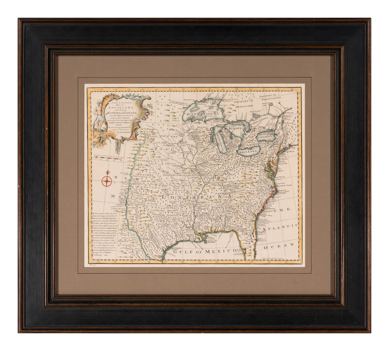
Engraved map with hand-coloring, visible area 356 x 432 mm. Framed (unexamined out of frame).
A beautifully detailed map drawn shortly before the outbreak of the French and Indian War. The map extends west to the Rio Grande and features oversized Great Lakes, with Texas labeled "Country of the Cenis", and "Louisiana" placed over the entire southern Mississippi River Valley. Four fictive islands appear in Lake Superior that were intended to honor Charlevoix's personal patron, the Count of Maurepas, Jean-Frederic Phelypeaux. Charlevoix described the islands as being rich in minerals leading numerous explorers to search for them in vain. Bellin was the first to introduce them in his 1744 map of the region and were subsequently copied by most cartographers thereafter including in John Mitchell's seminal 1755 wall map of North America. Wiese, Charting Louisiana 25.
Condition Report
Contact Information
Auction Specialist


