
Lot 114
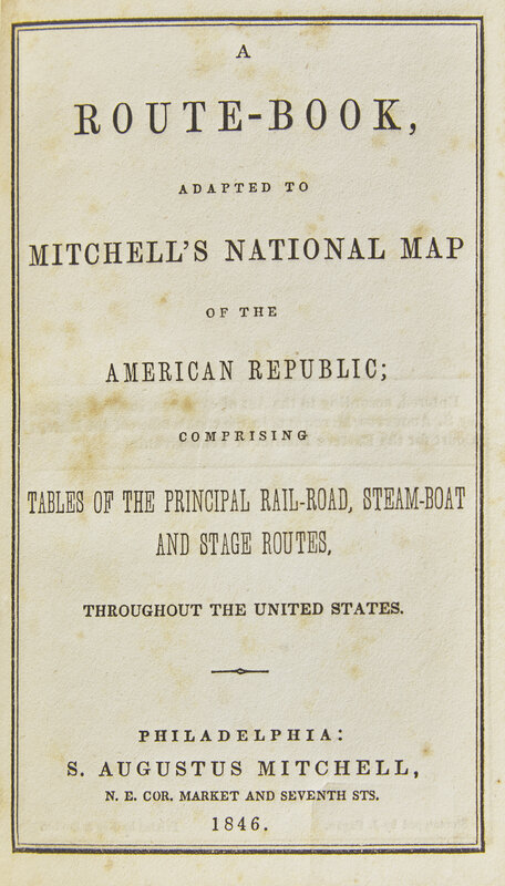
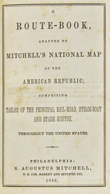
[Maps & Atlases] Mitchell, S(amuel). Augustus. A Route-Book, Adapted to Mitchell's National Map of the American Republic...
Sale 2101 - Books and Manuscripts
Sep 10, 2024
10:00AM ET
Live / Philadelphia
Own a similar item?
Estimate
$1,000 -
1,500
Lot Description
[Maps & Atlases] Mitchell, S(amuel). Augustus. A Route-Book, Adapted to Mitchell's National Map of the American Republic...
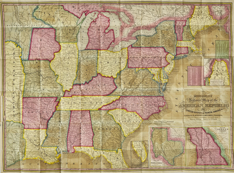
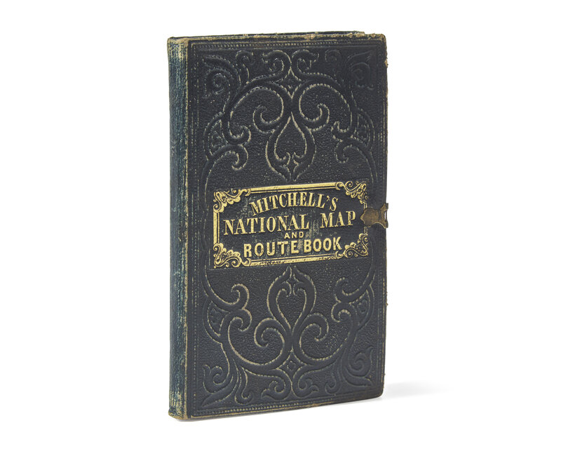
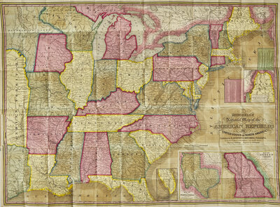
Philadelphia: S. Augustus Mitchell, 1846. Second edition. 16mo. 46 pp., with large hand-colored folding map ("Mitchell's National Map of the American Republic or United States of North America"), engraved by J.H. Brightly, after J.H. Young. Publisher's full blue morocco, stamped in blind and in gilt, original clasp intact, boards and extremities rubbed; all edges trimmed; bookseller's ink stamp at bottom of front free endpaper; scattered foxing to text; two closed tears in left edge of map from where bound in; small closed tear along Iowa-Missouri border. Ristow, p. 310; Rumsey 3796; OCLC 228693421, 8551053
A very well-preserved copy of this rare pocket map of North America.
This rare pocket map, shows the United States west to Texas, Indian Territory, and the Dakota Territory. The map is revised and updated from the 1843 first edition, most notably by the addition of the newly created Territory of Iowa. The inset map of Texas is new to this 1846 edition, and dates from the first year of its statehood, still showing it with its Republic boundaries. The Oregon inset is also new, and shows its border going north into Canada, before the 1846 treaty boundaries. There are also two population tables, and the text lists the major railroad, steamboat, and stage routes all the way west to Iowa, Wisconsin, and Missouri.
The four insets are: "Map of the North-Eastern boundary of the United States According to the Treaty of 1842," "Map of the Southern part of Florida," "Map of Oregon Territory" and "Map of the State of Texas." These four insets take the place of the 32 small inset maps of cities and towns from the 1843 edition. Rumsey lists only the wall map version of this 1846 map.
Rare, OCLC locates only eight copies, while RBH locates only three complete examples offered at auction since 2002.
This lot is located in Philadelphia.
Condition Report
Contact Information
Auction Specialist