Condition Report
Contact Information
Lot 33
MORTIER, Pieter (1661-1711)
Sale 503 - Fine Books and Manuscripts
Sep 13, 2017
9:59AM
Live / 1338 West Lake Street
Own a similar item?
Estimate
$1,800 -
2,200
Lot Description
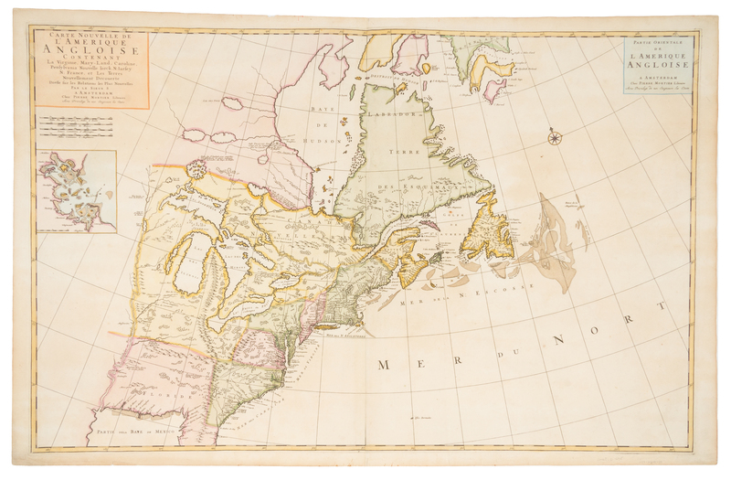
MORTIER, Pieter (1661-1711)
Carte nouvelle de l'Amerique Angloise Contenant la Virginie, Mary-Land, Caroline, Pensylvania Nouvelle Iork, N: Iarsey N: France, et Les Terres Nouvellement Decoverte. Amsterdam: Pieter Mortier, [1700].Hand-colored engraved map on two sheets of the east coast of North America and the Great Lakes, image 595 x 913 mm (637 x 968 mm sheet). Inset plan of Boston. (A few short marginal tears, some repaired on verso.) The inset plan of Boston harbor represents the first printing of a plan of an English colonical city in a non-English map. Though the source is attributed to "le Sieur S.," or Nicolas Sanson, it is drawn directly from Morden's New Map of the English Empire in America. Burden II, 765.

