Condition Report
Contact Information
Lot 49
RUSSELL, John C. (ca 1750-1829)
Sale 503 - Fine Books and Manuscripts
Sep 13, 2017
9:59AM
Live / 1338 West Lake Street
Own a similar item?
Estimate
$350 -
450
Lot Description
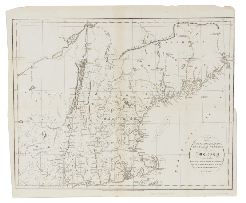
RUSSELL, John C. (ca 1750-1829)
Map of the Northern, or New England States of America, Comprehending Vermont, New Hampshire, District of Main, Massachusetts, Rhode-Island, and Connecticut. London: H.D. Symonds, 1795.Engraved folding map of New England, image 370 x 472 mm (414 x 490 mm sheet). (A few pale stains, a few short tears, some repaired on verso.) Extending south from the St. Croix river, the map depicts the East Coast from Maine to Cape Cod and shows topography including the Adirondacks, the Green Mountains, and the Dividing Highlands.

