Condition Report
Contact Information
Lot 55
LEWIS, Samuel
Sale 503 - Fine Books and Manuscripts
Sep 13, 2017
9:59AM
Live / 1338 West Lake Street
Own a similar item?
Estimate
$1,000 -
2,000
Price Realized
$2,500
Sold prices are inclusive of Buyer’s Premium
Lot Description
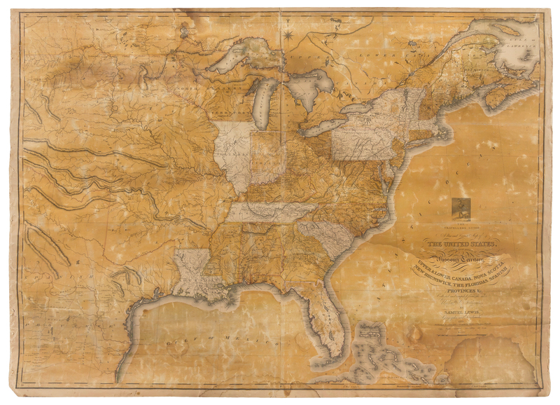
LEWIS, Samuel
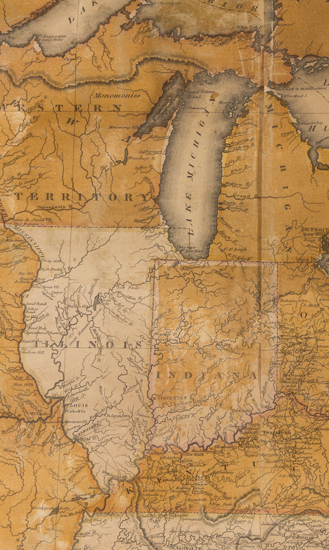
The Traveller's Guide A New and Correct Map of the United States, including great portions of Missouri Territory, Upper & Lower Canada, Nova Scotia, New Brunswick, the Floridas, Spanish Provinces, &c. Philadelphia: Henry Charles, 1819.Hand-colored engraved map on 2 sheets mounted to old linen backing, image 757 x 1046 mm (795 x 1074 mm sheet). (Browning, some light chipping with loss, lightly dampstained). An early wall map of the United States, and one of the first large-format maps to include details of Lewis and Clark's Expedition up the Missouri River.


