Condition Report
Contact Information
Auction Specialist
Lot 9
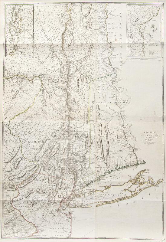
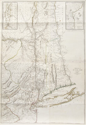
[American Revolution] Montresor, (John). Province de New-York
Sale 6308 - Printed and Manuscript Americana
Jan 29, 2025
10:00AM ET
Live / Philadelphia
Own a similar item?
Estimate
$1,500 -
2,500
Price Realized
$1,792
Sold prices are inclusive of Buyer’s Premium
Lot Description
[American Revolution] Montresor, (John). Province de New-York
Paris: Chez (George Louis) le Rouge, 1777. Engraved map with hand-colored outlining, comprising four joined sheets. Later paper with grommets attached along top edge; scattered light spotting and old faint stains; tape reinforcements on verso. 58 3/4 x 37 1/2 in. (1492 x 952 mm). Schwartz & Ehrenberg, The Mapping of America, plate 114
A fine example of George Louis le Rouge's edition of one of the most detailed and important maps of the New York region issued during the Revolutionary War period. John Montresor was an English army officer, engineer, and prolific cartographer, whose long career extended from the French and Indian War to the American Revolution. In 1775 he was appointed Chief Engineer for the British Army in North America and published the first edition of this map, largely compiled from surveys he executed during the 1760s. This French edition closely follows the English, with minor additions, and depicts substantial portions of New York, Vermont, Massachusetts, Connecticut, New Jersey and Pennsylvania, extending from Lake Champlain south along the Hudson River to Long Island. Two inset maps at top show Lake Champlain and the White Hills of the upper Connecticut Valley.
This lot is located in Philadelphia.