Condition Report
Contact Information
Lot 66
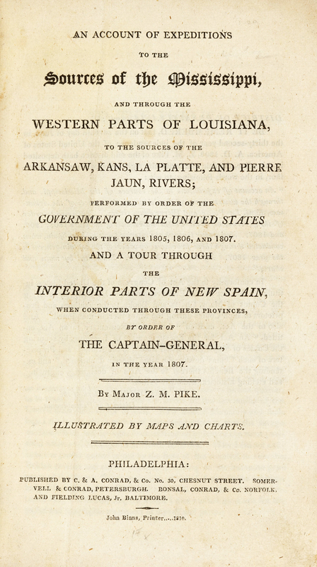
PIKE, Zebulon Montgomery (1779-1813). An Account of Expeditions to the Sources of the Mississippi, and through the Western Parts of Louisiana to the Sources of the Arkansaw, Kans, La Platte, and Pierre Jaun Rivers... Philadelphia: John Binns for C.&A. Conrad; Petersburgh: Somervell & Conrad; Norfolk: Bonsal, Conrad & Co.; and Baltimore: Fielding Lucas, Jr., 1810. FIRST EDITION.
Sale 714 - Library of a Midwestern Collector
Nov 5, 2019
10:00AM CT
Live / Chicago
Own a similar item?
Estimate
$8,000 -
12,000
Price Realized
$8,125
Sold prices are inclusive of Buyer’s Premium
Lot Description
PIKE, Zebulon Montgomery (1779-1813). An Account of Expeditions to the Sources of the Mississippi, and through the Western Parts of Louisiana to the Sources of the Arkansaw, Kans, La Platte, and Pierre Jaun Rivers; Performed by order of the Government of the United States During the Years 185, 1806, and 1807. And a Tour through the Interior Parts of New Spain. Philadelphia: John Binns for C.&A. Conrad; Petersburgh: Somervell & Conrad; Norfolk: Bonsal, Conrad & Co.; and Baltimore: Fielding Lucas, Jr., 1810.
8vo (210 x 125 mm). Frontispiece portrait, 5 tables (3 folding) and 6 maps (5 folding). (Frontispiece with gutter margin renewed and repairs, one table with some tissue-repairs and slight loss, maps linen-backed, some occasional spotting or browning to text.) Modern quarter morocco and marbled boards, with maps loose in rear cover pocket.
FIRST EDITION OF THE FIRST GOVERNMENT EXPLORATION OF THE SOUTHWEST. In 1806 Pike led an expedition to the southwestern borders of the Louisiana Purchase. He had orders to explore the Arkansas and Red Rivers, and to obtain information about nearby Spanish territory. It was on this trip that he tried, unsuccessfully, to climb the mountain peak later named for him. His party headed south from Colorado, ending up in what is now northern New Mexico, where they were stopped by Spanish officials and charged with illegal entry into Spanish-held territory. All of Pike's maps, notes and papers became the property of the Spanish, with the party escorted through Santa Fe, across Texas and released on the Spanish-American border in Louisiana.
Pike's published account of this last expedition, with information about the weakness of Spanish authority in Santa Fe, and the profitability of trading with Mexico, stirred businessmen and politicians into expanding to Texas. He also helped establish the myth of the "Great American Desert" which slowed growth into the Great Plains. Field 1217; Graff 3290; Howes P-373; Jenkins Basic Texas Books 163; Sabin 62836; Streeter Texas 1047; Wagner-Camp-Becker 9:1; Wheat, Mapping the Transmississippi West 297-29.


