Lot 201
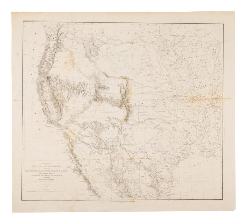
EMORY, William H. (1811-1887). Map of the United States and their Territories between the Mississippi and the Pacific Ocean and Part of Mexico.... [Washington], 1857-1858.
Sale 945 - Fine Printed Books & Manuscripts, Including Americana
Lots 1-307
Nov 9, 2021
4:00AM CT
Lots 308-687
Nov 10, 2021
4:00AM CT
Live / Chicago
Own a similar item?
Estimate
$200 -
300
Price Realized
$375
Sold prices are inclusive of Buyer’s Premium
Lot Description
EMORY, William H. (1811-1887). Map of the United States and their Territories between the Mississippi and the Pacific Ocean and Part of Mexico.... [Washington], 1857-1858.
Engraved map of the western United States with hand-coloring, 582 x 648 mm sheet. (Some minor toning, offsetting or spotting, creased).
Emory's map compiles information from previous maps of the west, representing 50 years of government exploration. It depicts the territories of Kansas, Minnesota, Nebraska, New Mexico, Utah, Oregon, and Washington in transition, and was drawn by Thomas Jekyll under the supervision of Lieutenant Nathaniel Michler. Wheat Transmississippi 916.
[With:] DUVOTENAY, T. Messico. Turin: Fratelli Doyen, n.d. Engraved map of Mexico with hand-coloring in outline. With inset of Guatemala.
Property from the Collection of Dr. Brant Mittler
Condition Report
Contact Information
Auction Specialist

