Lot 686
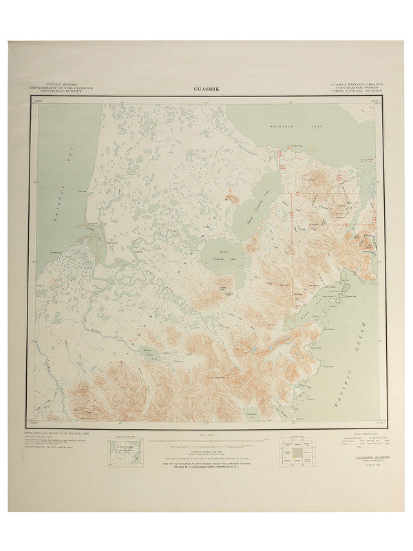
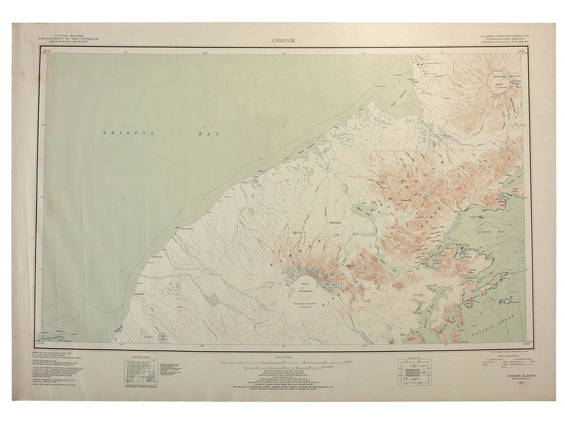
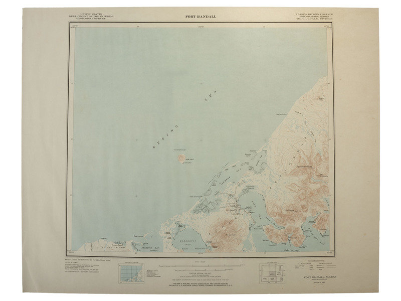
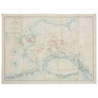
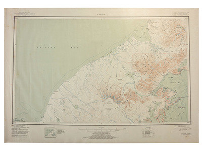
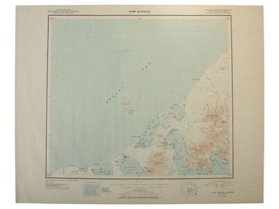
[MAPS]. A group of 11 US Geological survey maps of Alaska.
Sale 1005 - American Historical Ephemera & Photography
Lots Open
Mar 1, 2022
Lots Close
Mar 8, 2022
Timed Online / Cincinnati
Own a similar item?
Estimate
$100 -
200
Price Realized
$0
Sold prices are inclusive of Buyer’s Premium
Lot Description
[MAPS]. A group of 11 US Geological survey maps of Alaska.
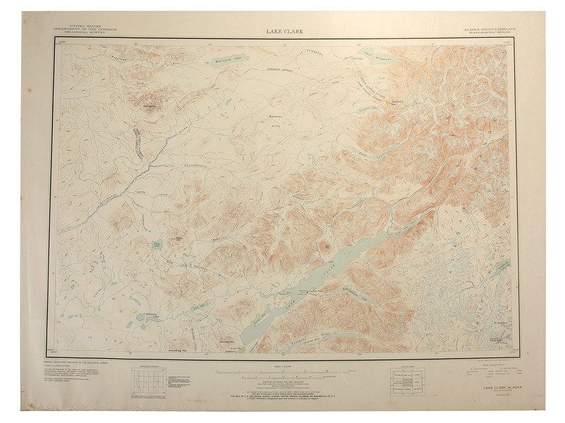
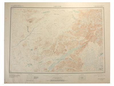
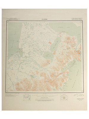
11 United States Department of the Interior Geological Survey Maps, Alaska Reconnaissance Topographic Series. Published by U.S. Geological Survey. Washington, D.C. Locations and dates include: Ugashik (1949); Kenai (1950); Fort Randall (1950); Lake Clark (1951); Chignik (1951); Tyonek (1951); Sutwik Island (1951); Karluk (1951); Mt. Katmai (1951); Iliamna (1952); and Port Moller (1953). Sizes vary, most approx. 30 x 23 in. (conditions vary, most toned with scattered spotting and some with tears at edge lines).
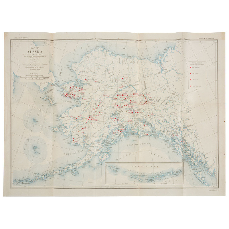
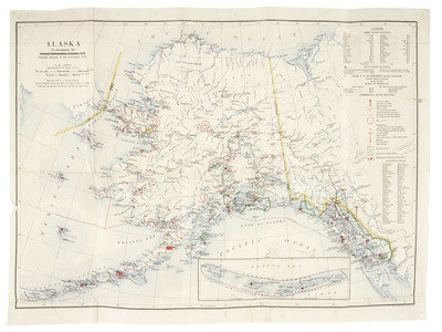
[With:] Geological Survey "Map of Alaska / Showing areas differentiated in accordance with the dominant fineness of their placer gold." Philip S. Smith, 1938. 25 1/4 x 18 1/2 in. (creasing at folds, light toning).
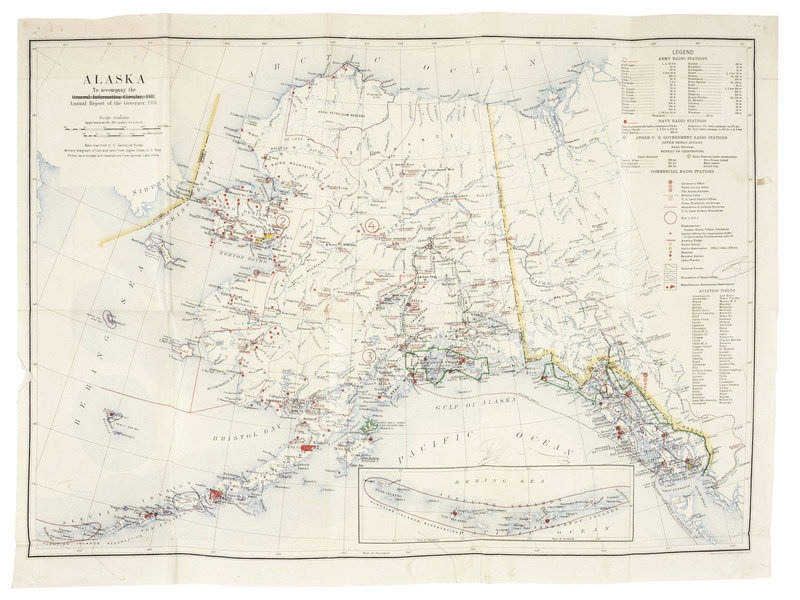
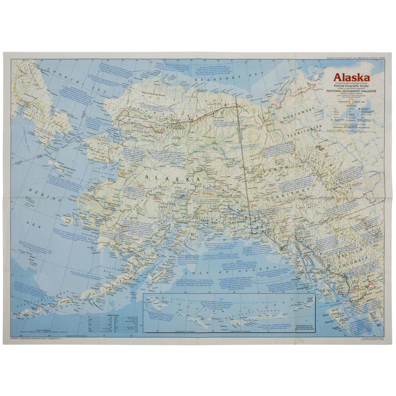
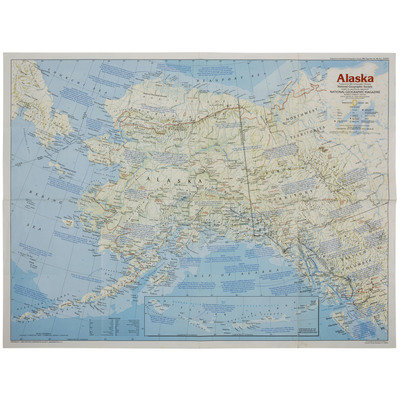
[Also with:] Map of Alaska "To accompany the Annual Report of the Governor, 1931." 24 3/4 x 18 1/2 in. (scattered pencil marks, light soil, pin holes). Includes locations of Army and Navy radio stations, reindeer stations, Native schools, and boundaries of reservations. -- Map of Alaska produced by the Cartographic Division of the National Geographic Society. Washington, January 1984.
Condition Report
Contact Information
Auction Specialist
