Lot 687
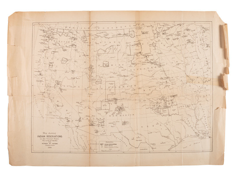
[NATIVE AMERICANS]. Map Showing Indian Reservations in the United States West of the 84th Meridian and Number of Indians Belonging Thereto 1880. N.p.,1880.
Sale 1005 - American Historical Ephemera & Photography
Lots Open
Mar 1, 2022
Lots Close
Mar 8, 2022
Timed Online / Cincinnati
Own a similar item?
Estimate
$200 -
300
Price Realized
$125
Sold prices are inclusive of Buyer’s Premium
Lot Description
[NATIVE AMERICANS]. Map Showing Indian Reservations in the United States West of the 84th Meridian and Number of Indians Belonging Thereto 1880. N.p.,1880.
Engraved map of western United States, image 460 x 331 mm (sheet 550 x 393 mm). Reservations are and stations occupied by U.S. troops are indicated. (Toned, marginal tears, tear to right edge with tape repair, tape reinforcement to verso). FIRST EDITION.
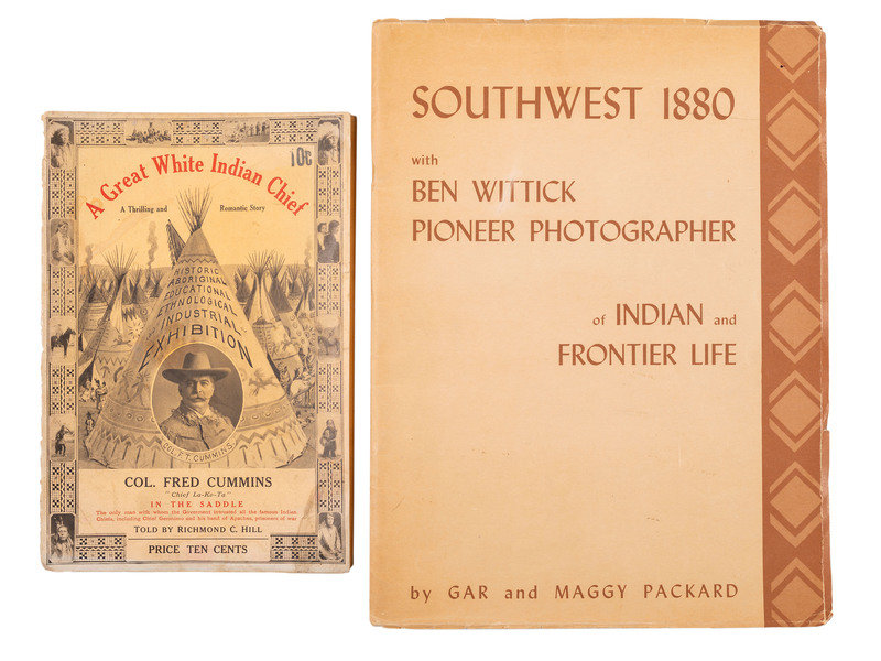
[With:] HILL, Richmond C. A Great White Indian Chief: A Thrilling and Romantic Story of...Col. Fred Cummins "Chief La-Ko-Ta." N.p.: Fred T. Cummins, 1912. (Wrappers split at hinge.) -- PACKARD, Gar and Maggy PACKARD. Southwest 1880 with Ben Wittick Pioneer Photographer of Indian and Frontier Life. Santa Fe, NM: Packard Publications, 1970. -- Together, 2 books in 2 volumes, FIRST EDITIONS, 8vo and 4to, all in publisher's wrappers, condition generally good, as noted.
Condition Report
Contact Information
Auction Specialist


