Lot 136
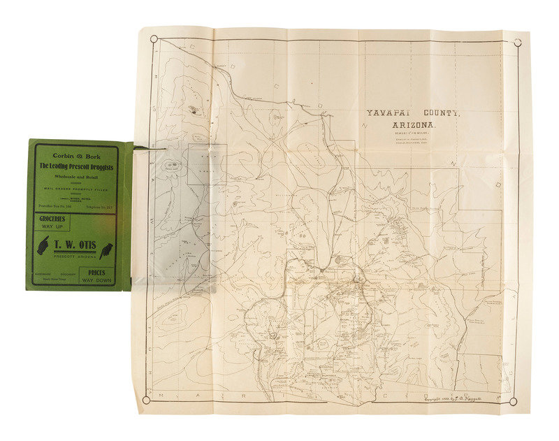
[MAPS & ATLASES]. HAGGOTT, Ernest A. and Chas. M. RICHARDS. Yavapai County, Arizona. N.p.: E.A. Haggott, 1903. [With:] 3 USGS Survey maps. ca 1891. [Also with:] Map of Public Surveys in California.
Sale 1069 - American Historical Ephemera & Photography
Lots Open
Aug 19, 2022
Lots Close
Aug 30, 2022
Timed Online / Cincinnati
Own a similar item?
Estimate
$300 -
500
Price Realized
$281
Sold prices are inclusive of Buyer’s Premium
Lot Description
[MAPS & ATLASES]. HAGGOTT, Ernest A. and Chas. M. RICHARDS. Yavapai County, Arizona. N.p.: E.A. Haggott, 1903. [With:] 3 USGS Survey maps. ca 1891. [Also with:] Map of Public Surveys in California.
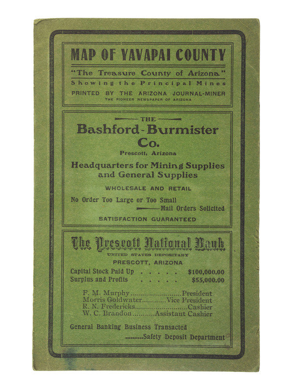
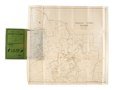
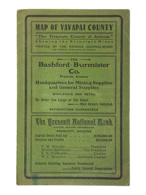
HAGGOTT, Ernest A., and Charles M. RICHARDS. Yavapai County, Arizona. [Prescott, AZ]; E.A. Haggott, Arizona Journal-Miner, 1903. Lithographed map, image 18 3/8 x 17 3/4 in. (sheet 20 x 19 in.) Original printed green cardstock wrappers. RARE: OCLC locates only 2 copies.
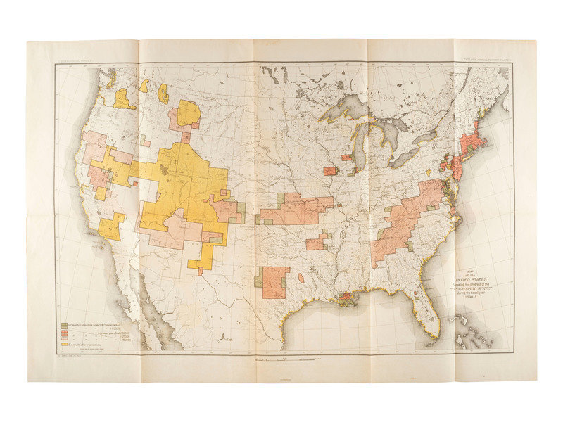
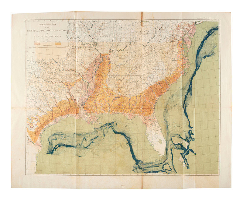
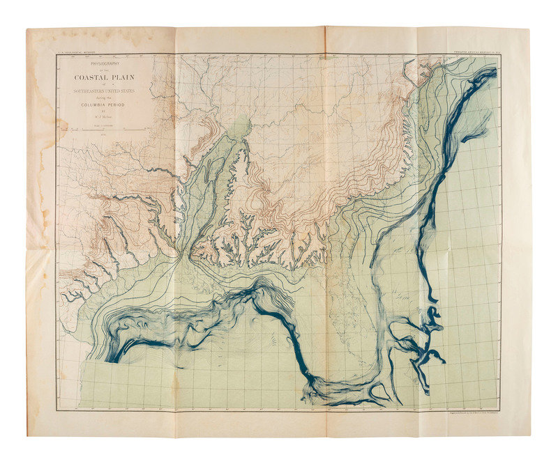
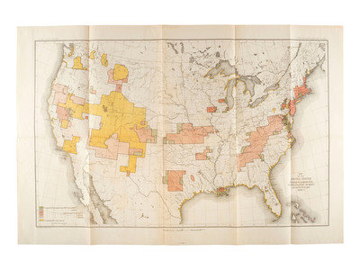
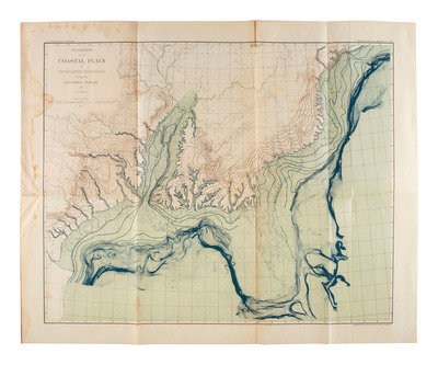
[With:] Map of the United States Showing the progress of the Topographic Survey during the fiscal year 1890-1. -- McGEE, William John (1853-1912). Physiography of the Coastal Plain of Southeastern United States during the Columbia Period. --
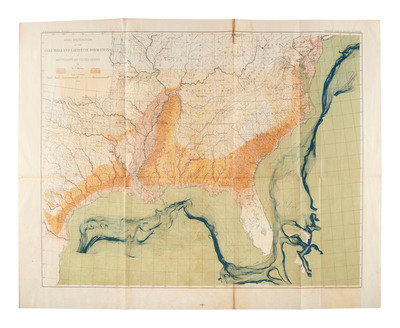
McGEE, W.J. Aereal Distribution of the Columbia and Lafayette Formations of Southeastern United States. -- Together, 3 engraved maps with hand color, Philadelphia: George S. Harris & Sons, [1891?], condition generally very good.
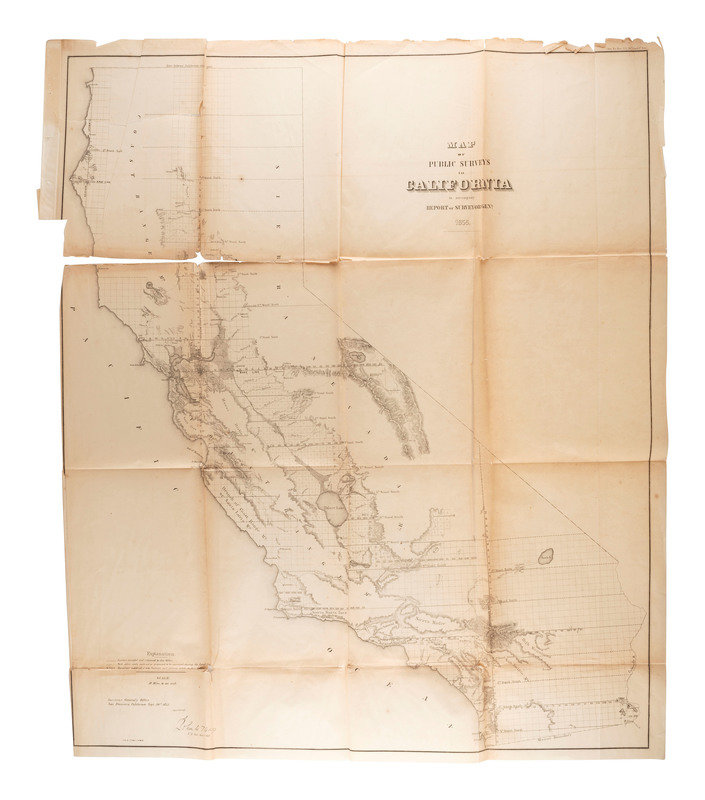
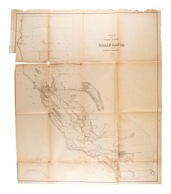
[Also with:] Map of Public Surveys in California to Accompany Report of Surveyor Genl. 1855. Sen. Ex Doc No. 1, 54th Cong. 1st Sess. [Washington, D.C.?]: N.p., [ca 1895].
Property of a Midwest Collector
Condition Report
Contact Information
