Lot 160
[MAPS & ATLASES -- CHICAGO]. A group of 13 maps depicting the Chicago River and Chicago Harbor, comprising:
Sale 1069 - American Historical Ephemera & Photography
Lots Open
Aug 19, 2022
Lots Close
Aug 30, 2022
Timed Online / Cincinnati
Own a similar item?
Estimate
$300 -
500
Price Realized
$406
Sold prices are inclusive of Buyer’s Premium
Lot Description
[MAPS & ATLASES -- CHICAGO]. A group of 13 maps depicting the Chicago River and Chicago Harbor, comprising:
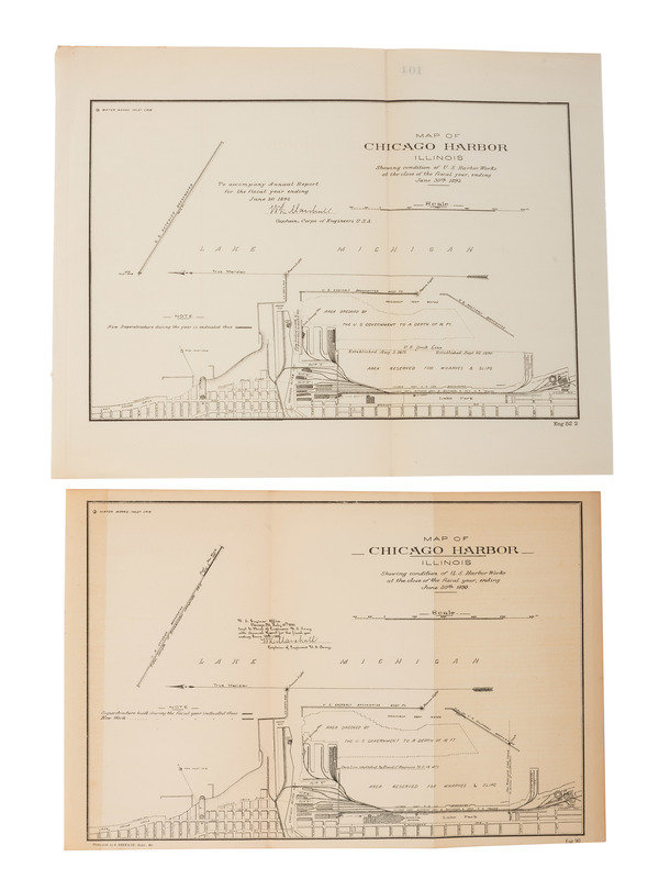
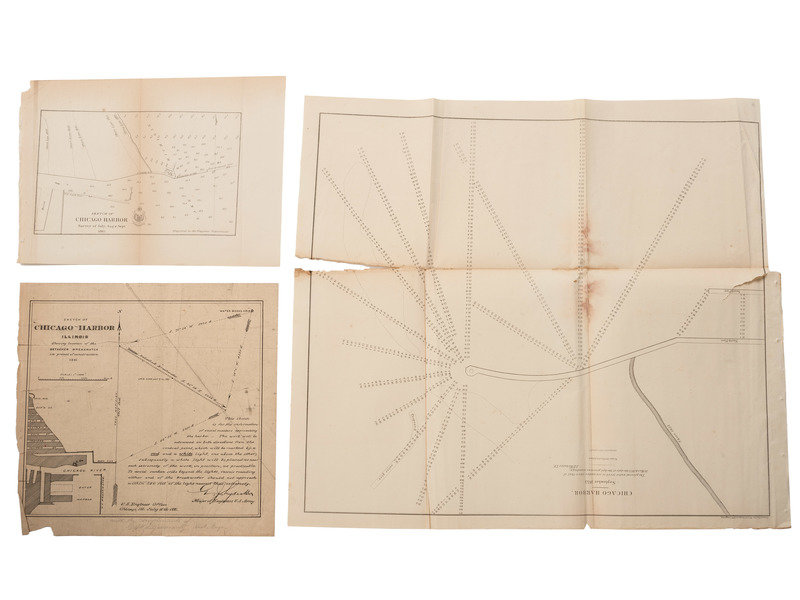
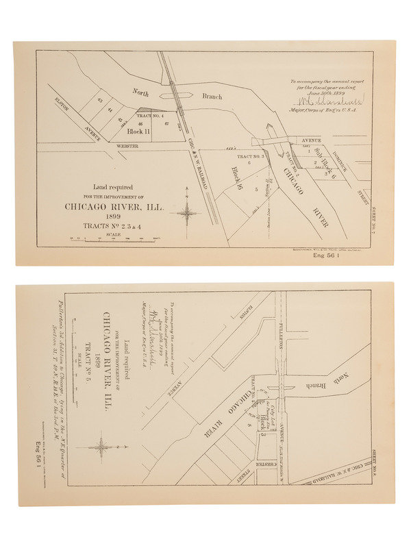
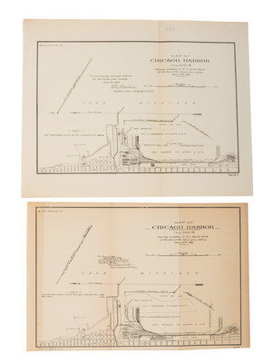
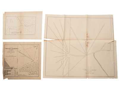
WEBSTER, T.E. ACKERMAN, lithographer. Chicago Harbor. September 1853. 1853. -- Sketch of Chicago Harbor. Survey of July, Aug & Sept.1865. 1865. RARE: no other copies located. -- HYDECKER, G.J., Major of Engineers. Sketch of Chicago Harbor Illinois Showing Location of the Detached Breakwater in process of Construction. 1881. -- WATER WORKS INLET CRIB. Map of Chicago Harbor Illinois Showing Condition of U.S. Harbor Works at the Close of the Fiscal Year, ending June 30th 1892. 1893. -- WATER WORKS INLET CRIB. Map of Chicago Harbor Illinois Showing Condition of U.S. Harbor Works at the Close of the Fiscal Year, ending June 30th 1890. 1891. -- Together, 5 maps of Chicago's harbor, condition generally good, some separations, occasional dampstaining.
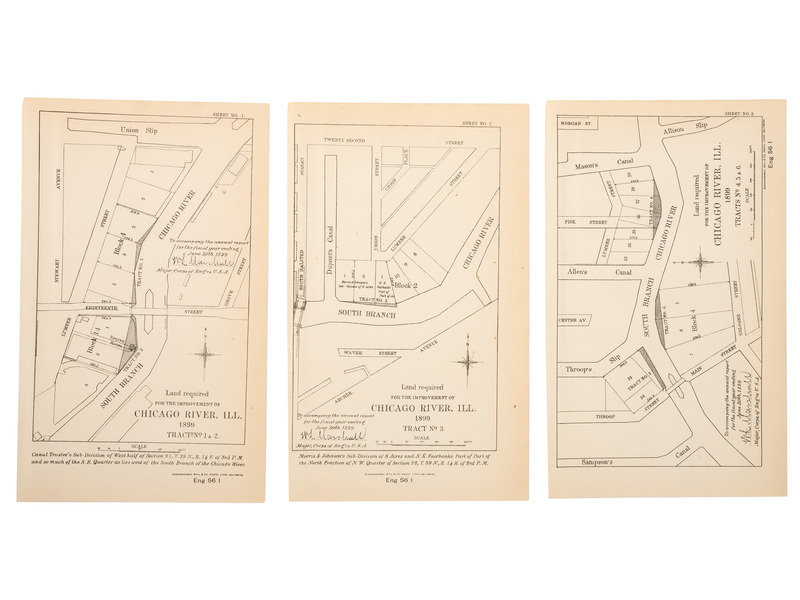
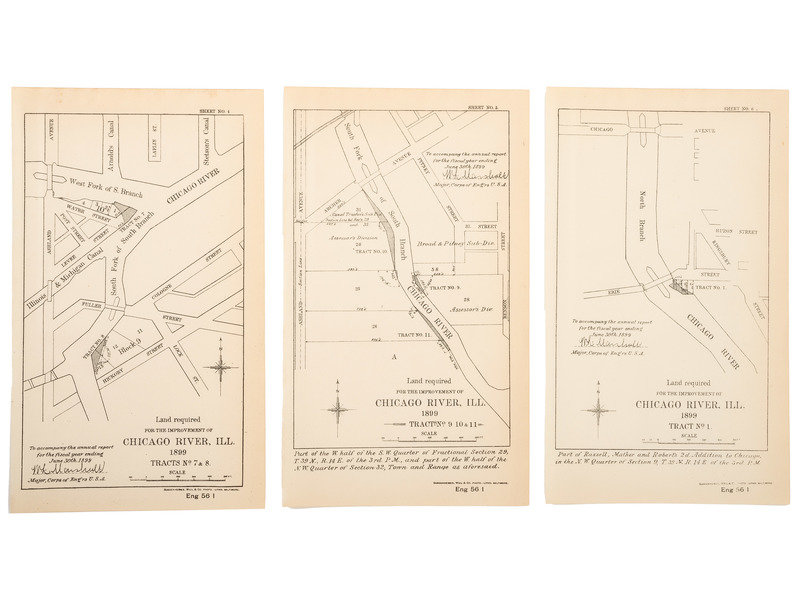
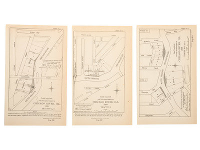
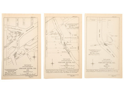
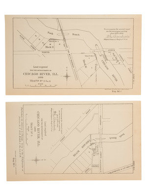
[With:] Land required for the improvement of Chicago River, IL. 1899. A series of 8 maps, Sheets No. 1-8. Each 5 1/2 x 9 in.
Property of a Midwest Collector
Condition Report
Contact Information
