Lot 161
[MAPS & ATLASES -- ILLINOIS]. A large group of maps of Illinois, Indiana, and Midwest, comprising:
Sale 1069 - American Historical Ephemera & Photography
Lots Open
Aug 19, 2022
Lots Close
Aug 30, 2022
Timed Online / Cincinnati
Own a similar item?
Estimate
$400 -
600
Price Realized
$250
Sold prices are inclusive of Buyer’s Premium
Lot Description
[MAPS & ATLASES -- ILLINOIS]. A large group of maps of Illinois, Indiana, and Midwest, comprising:
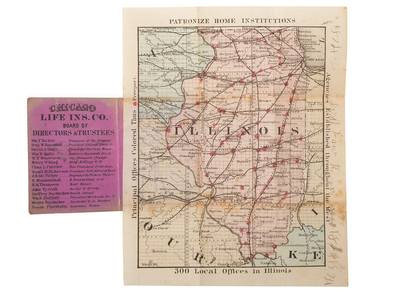
BLANCHARD, Rufus, editor. Cabinet Map of Illinois. Chicago: Rufus Blanchard, ca 1874. 5 3/4 x 7 1/4 in. folded within original 2 1/4 x 3 in. boards. RARE: OCLC locates only 1 copy held at the Abraham Lincoln Presidential Library.
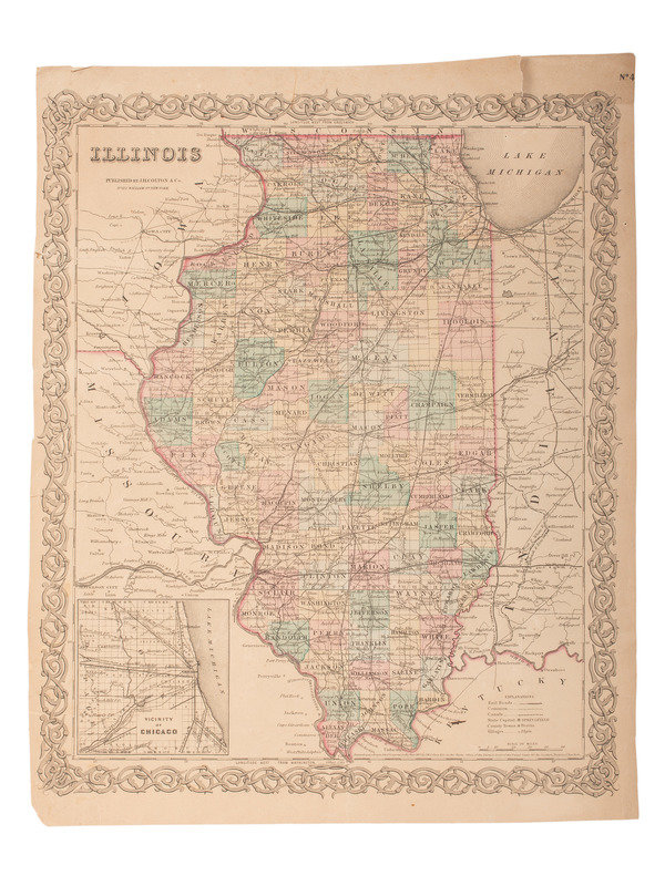
[With:] CONWAY, F.R. Diagram of the State of Illinois. [St. Louis?]: N.p., 1848. S. Doc. No. 16 1st Sess. 29th Congress. 14 x 23 1/2 in. -- Illinois. New York: J.H. Coulton & Co., 1855. 13 3/8 x 17 in. With inset of "Vicinity of Chicago". -- WORTHEN, Amos Henry (1813-1888). With W. BILLINGTON, O.H. ST. JOHN, & CK. WORTHEN. Geological Map of the State of Illinois from Original Surveys, Made Under the Direction of A.H. Worthen, State Geologist. Boston, 1875. Image 38 x 65 3/4 in. (43 1/4 x 69 1/2 in. sheet). -- Official Railroad Map of Illinois. 1876. Verso: Illinois in 1822 with vignette "First State House of Illinois at Kaskaskia" (The Oldest Town in the State). -- And 14 additional map leaves, some with maps to both recto and verso. Condition generally good, a complete condition report is available upon request.
Property of a Midwest Collector
Condition Report
Contact Information


