Lot 719
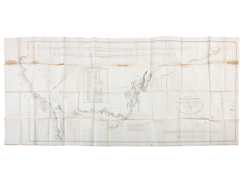
[MEXICAN WAR]. Rare map of the Southwest, 1848.
Sale 1096 - American Historical Ephemera & Photography
Lots Open
Nov 11, 2022
Lots Close
Nov 21, 2022
Timed Online / Cincinnati
Own a similar item?
Estimate
$100 -
200
Price Realized
$63
Sold prices are inclusive of Buyer’s Premium
Lot Description
[MEXICAN WAR]. Rare map of the Southwest, 1848.
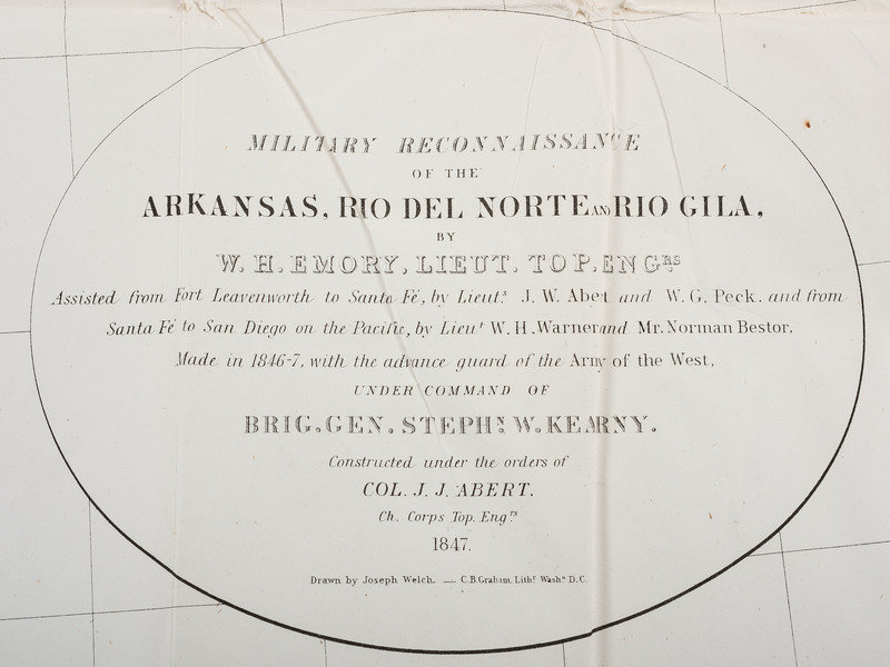
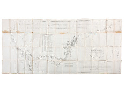
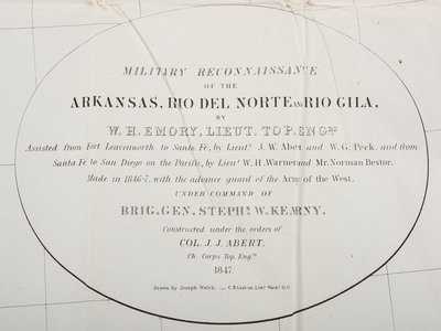
Mexican War Map: 32-1/2 x 71” (three sheets): Military Reconnaissance of the Arkansas, Rio Del Norte and Rio Gila by W.H. Emory, Lieut. Top. Engrs. …Made in 1846-47 with the advance guard of the Army of the West. Under Command of Brig. Gen. Stephn. W. Kearny. Constructed under the orders of Col. J.J. Abert, Ch. Corps Top. Engrs. 1847. [William Hemsley Emory, 1811-1887; John James Abert, 1788-1863].
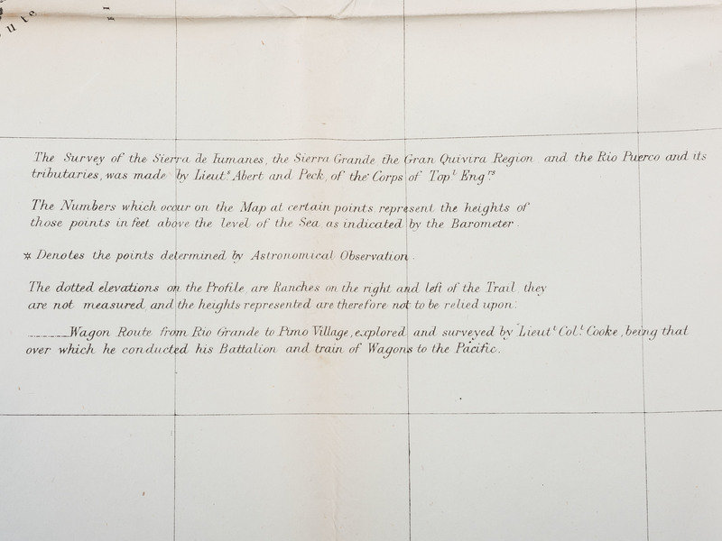
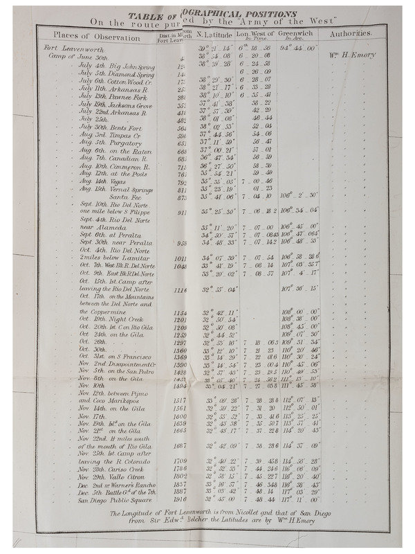
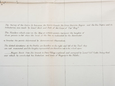
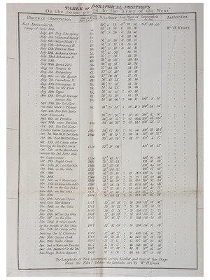
29 x 67-1/2“ (74 x 172 cm) Relief shown in hachures and spot heights. Includes: Table of geographical position on the route taken by the Army of the West. Barometric profiles of “route from Ft. Leavenworth to Camp of Oct. 14 the last station on the Rio del Norte” and “route from Rio del Norte to Dan Diego on the Pacific.” Engraved on stone by E. Weber & Co., Baltimore.
Carl Wheat described this map as one of the most significant in the mapping of the Southwest specifically and the first half of the 19th century more generally.
This lot is located in Cincinnati.
Condition Report
Contact Information
