Lot 3
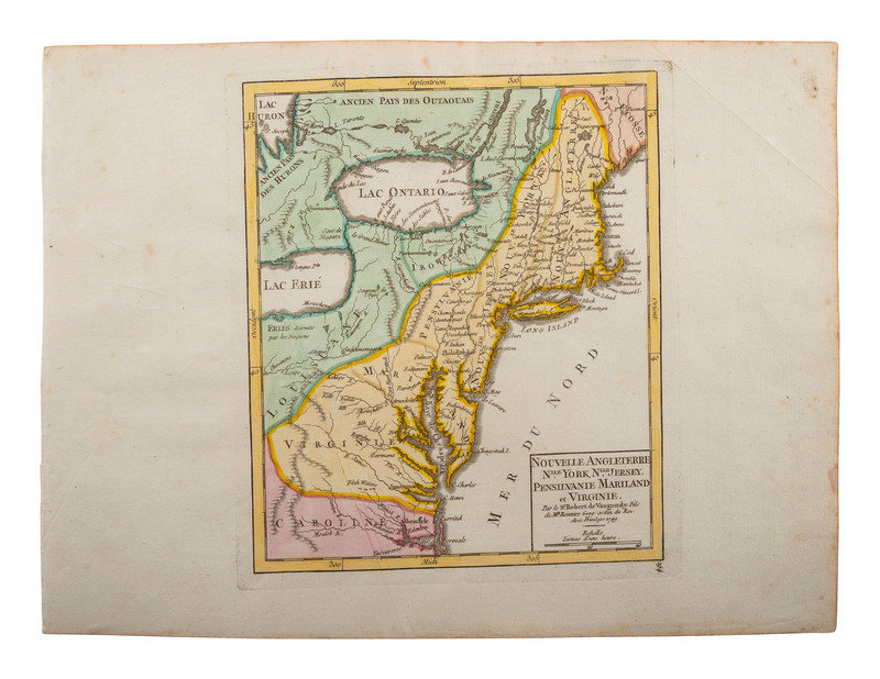
[MAPS & ATLASES]. DE VAUGONDY, Robert (1723-86). Nouvelle Angleterre...1748.
Sale 1136 - American Historical Ephemera & Photography
Lots Open
Mar 27, 2023
Lots Close
Apr 4, 2023
Timed Online / Cincinnati
Own a similar item?
Estimate
$200 -
300
Price Realized
$126
Sold prices are inclusive of Buyer’s Premium
Lot Description
[MAPS & ATLASES]. DE VAUGONDY, Robert (1723-86). Nouvelle Angleterre...1748.
Nouvelle Angleterre, Nlle. York, Nlle. Jersey, Pensilvanie, Mariland et Virginie / Par le Sr. Robert de Vaugondy Fils de MR Robert Geogr. ordin. du Roi ; avec Privilège 1749. [Paris, France]. Hand-colored map, 12 1/2 x 9 1/4 in. (visible plate mark, scattered spotting, toning).
Didier Robert de Vaugondy was an 18th-century French geographer and cartographer, and the son of cartographer and mathmatician Gilles Robert de Vaugondy. The younger Vaugondy was appointed geographer of the King by Louis XV in addition to serving other prominent figures.
An early and scarce view of the American Colonies featuring vibrant color and detail.
Estate of Carroll J. Delery III, Formerly the “Historical Shop”
Condition Report
Contact Information
Auction Specialist

