Condition Report
Contact Information
Lot 66
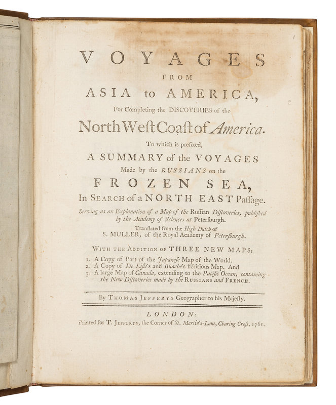
MÜLLER, Gerhard Freiderich. Voyages from Asia to America, For Completing the Discoveries of the North West Coast of America... With the Addition of Three New Maps... by Thomas Jeffreys. L: T. Jeffreys, 1761. FIRST ENGLISH EDITION.
Lot Description
4to (255 x 195 mm). 4 engraved maps (2 hand-colored in outline and folding). (One folding map skillfully laid down and restored with minor losses to margin and neatline and with conservator's statement tipped in, some soiling.) Modern calf antique. Provenance: A few early annotations on verso of folding map; sold Sotheby's London, October 20, 1988, lot 235; collector's bookplate, a few pencil marks.
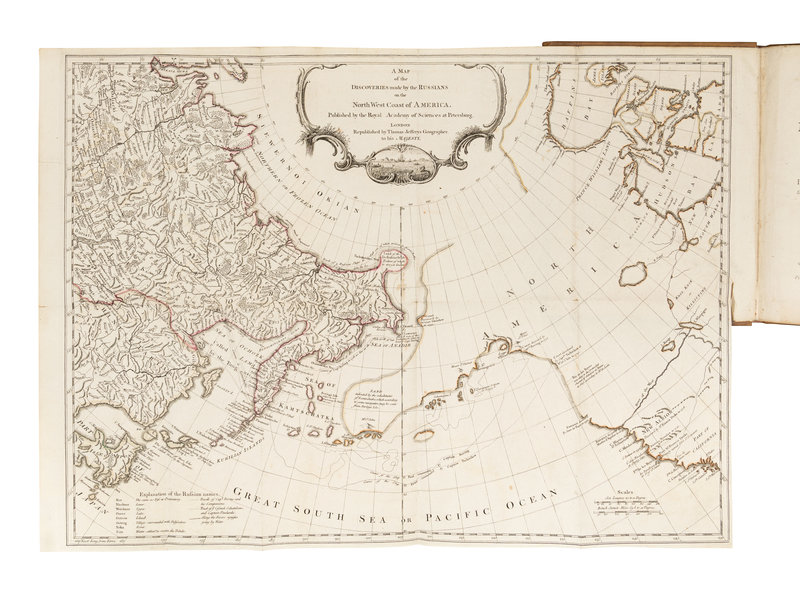
FIRST ENGLISH EDITION, "indispensable for the history of discovery and explorations in the northern Pacific ... it represents the most extensive account in English of Bering's polar expedition and of the discovery of the Bering Strait and the western limits of North America" (Hill). Müller's complete account of the Bering expedition and of the Russian discoveries in the region was first published in Sammlung Russischer Geschichte (St. Petersburg, 1758, vol. 3). This extended English edition is also the most comprehensive account of Bering's 1741 voyage. The frontispiece map in Jeffreys' translation is a copy of Müller's map of Russian discoveries, which includes the first English printing of Bering's routes in 1728 and 1741, and which shows the Aleutian Islands as a peninsula. Bering's survey remained the authority until Cook's new surveys after his final voyage in 1776. The English edition includes three maps not in the first edition. Hill, p. 206; Howes M-875 ("Most important contemporary account of Bering's discoveries, by a scientist attached to his second expedition"); Sabin 51285; Streeter Sale VI: 3458; Lada-Mocarski 17.


