Lot 661
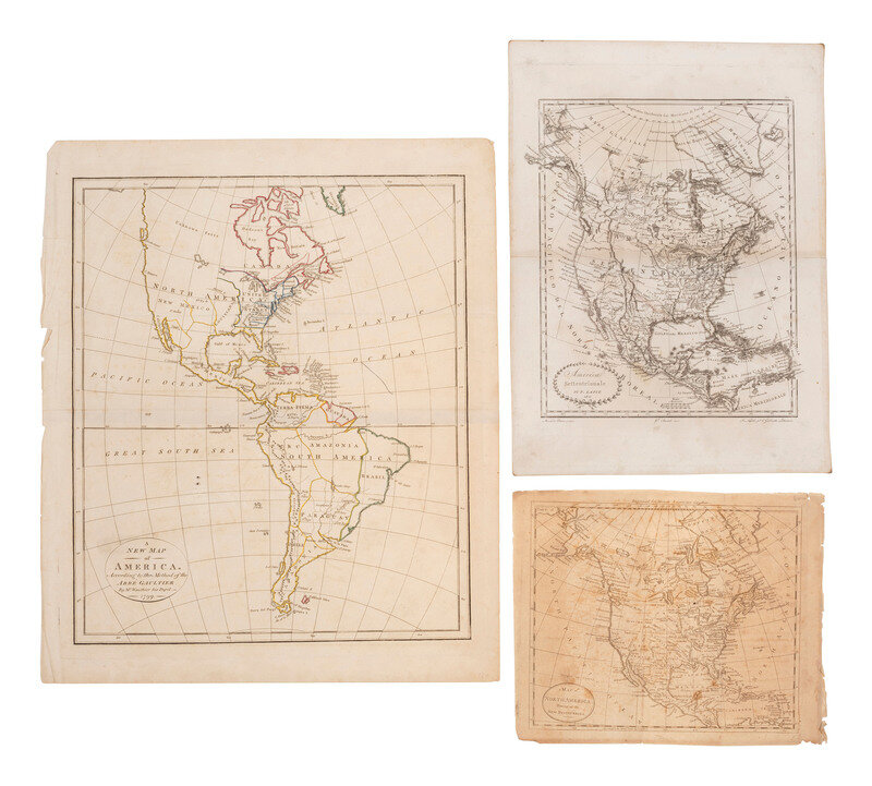
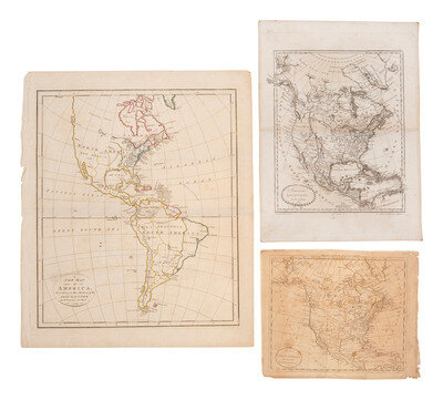
[MAPS]. A group of 8, incl. 5 maps of North America, one of the western hemisphere, & 2 engravings.
Sale 1345 - American Historical Ephemera and Photography Online
Lots Open
Jun 19, 2024
Lots Close
Jul 2, 2024
Timed Online / Cincinnati
Own a similar item?
Estimate
$300 -
500
Price Realized
$191
Sold prices are inclusive of Buyer’s Premium
Lot Description
[MAPS]. A group of 8, incl. 5 maps of North America, one of the western hemisphere, & 2 engravings.
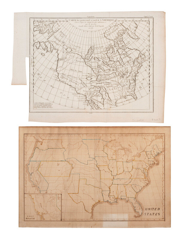
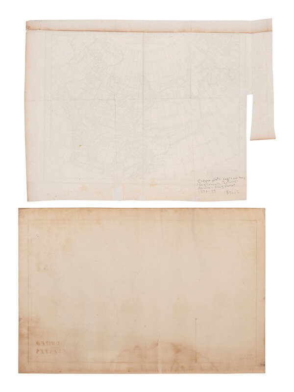
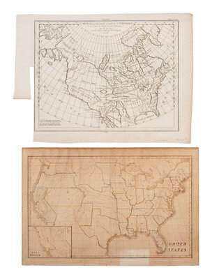
Hand-drawn map of the United States. Ca 1849-1850s. 18 1/8 x 12 1/4 in. (significant toning). Features states outlined in color and with "Gold Region" inset. State and territorial capitals are denoted by dots. This map is very similar to the 1838 map by Frances Gilman exhibited in the Stanford Library, "Universe of Maps, Children's Maps." This map is quite a bit later than 1838, however, since it has the gold region of California singled out. The background information on the Children's Maps notes that mapmaking was often taught to young women, most popularly from the 1790s to the 1830s, but the practice continued on a more modest scale throughout the 19th century. The decline seems to have been in response to more widely available and affordable commercially printed maps. Some of these student maps were partially printed, traced, or copied freehand. They were drawn, painted, even stitched. Girls would thus use maps to learn not only geography, but penmanship, needle arts, and patience.
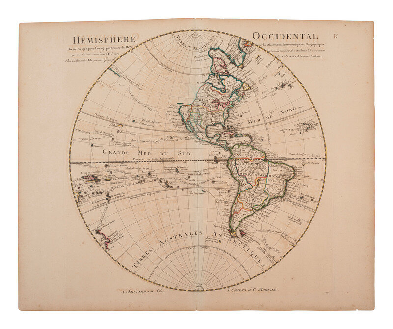
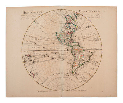
DELISLE, Guillaume (1675-1726). Hemisphere Occidental Dressee en 1720 pour l'usage particulier du Roy. [Paris:], ca 1730. 25 5/8 x 20 7/8 in. (sheet) engraved map (creasing, toning, some ink transfer throughout, spotting, wear to edges and corners). Map of the Western Hemisphere with North America consisting primarily of the French territory of Louisiane.
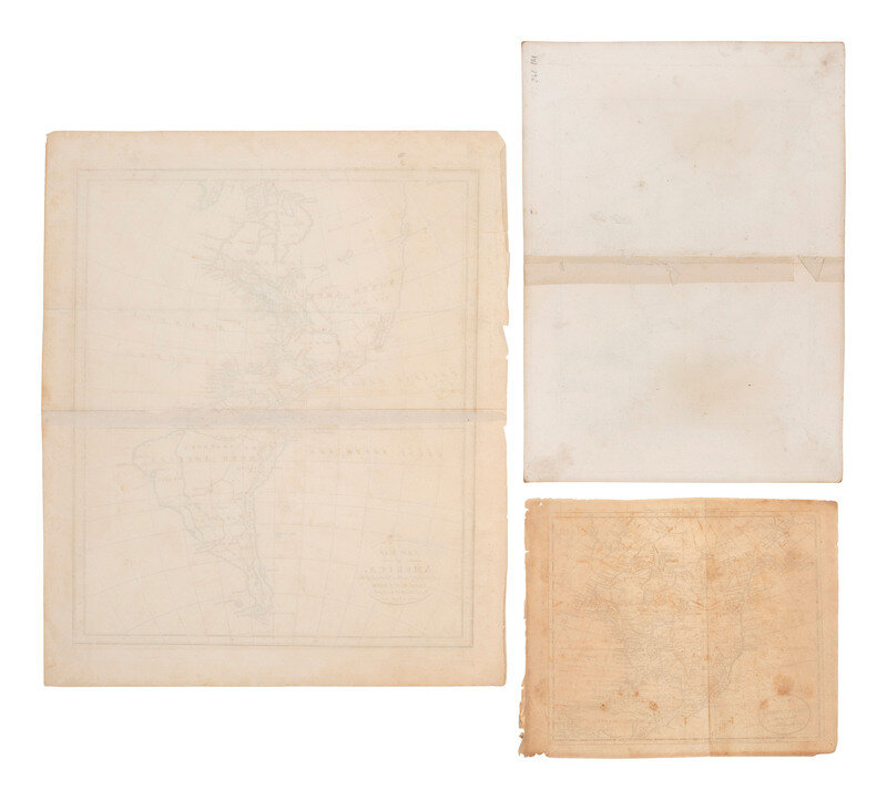
GAULTIER, abbe (Aloisius Edouard Camille) and J. M. WAUTHIER. A New Map of America. 1799. 15 1/4 x12 7/8 in. (image), 18 x 15 in. (sheet) printed map (central horizontal crease, some small separations to edges, spotting and some discoloration throughout). Features hand-colored outlines of countries, and denotes countries, rivers, mountains, cities, water bodies, etc.
ROBERT DE VAUGONDY, Didier. Carte des parties nord et ouest de l'Amérique. 15 x 11 5/8 (image), 18 1/2 x 13 1/2 in. (sheet) printed map (marginal area clipped away, creasing, occasional spotting, toning). Taken from "From: Diderot, Encyclopædie, v. 5 (Supplement) 1779," Samuel Engel's map of North America, republished here, was issued in his Memoires Observations Geographiques in 1765.
And 2 other maps of North America. Together, 6 maps.
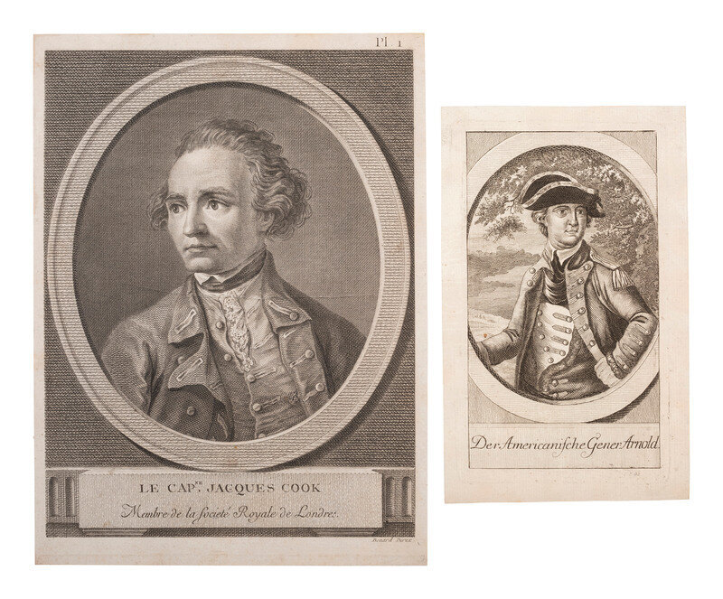
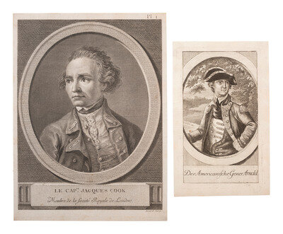
[With:] 7 1/4 x 4 1/2 in. (sheet) engraving of General Benedict Arnold, titled below portrait "Der Americanische Gener. Arnold." -- 9 3/4 x 7 1/8 in. (sheet) engraving of Captain Jacque Cook by Benard. Titled below portrait "Le Capne. Jacques Cook / Membre de la Societe Royale de Londres." -- Together, 2 engravings.
This lot is located in Cincinnati.
Condition Report
Contact Information
Auction Specialist
