Lot 662
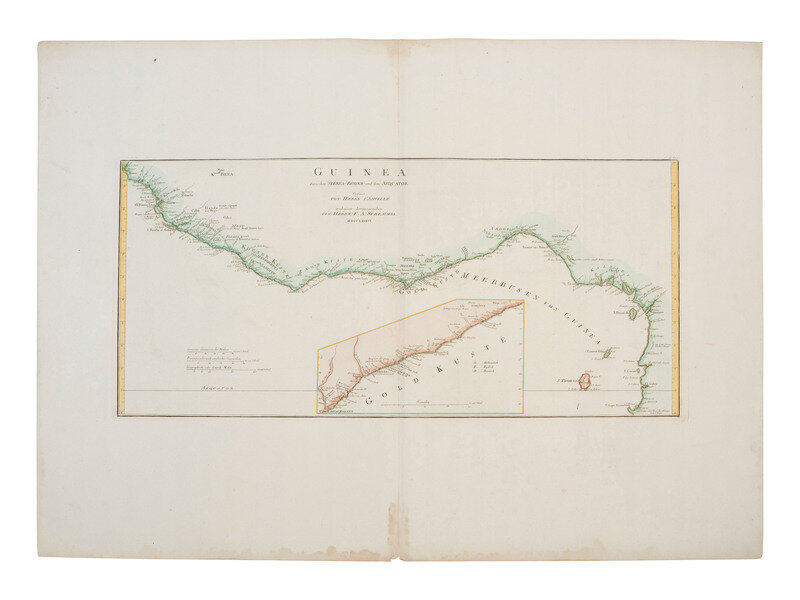
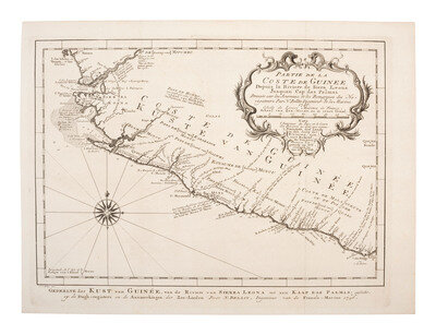
[MAPS]. Group of 3, incl. 2 maps of the coast of Guinea & one of the empire of Alexander the Great.
Sale 1345 - American Historical Ephemera and Photography Online
Lots Open
Jun 19, 2024
Lots Close
Jul 2, 2024
Timed Online / Cincinnati
Own a similar item?
Estimate
$200 -
400
Lot Description
[MAPS]. Group of 3, incl. 2 maps of the coast of Guinea & one of the empire of Alexander the Great.
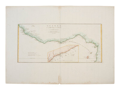
D'ANVILLE, Jean Baptiste Bourguignon and F. A. SCHRAEMBL. Guinea Zwischen Sierra-Leona und dem Aequator. 1776. 26 x 12 in. (image), 33 1/2 x 24 1/4 in. (sheet) engraved map (creased with central vertical separation repaired, occasional spotting, dampstaining to margins). This map features an inset of the Gold Coast and designates Dutch, English and Danish colonial claims.
SCHLEY, Jakob van der and Jacques-Nicolas BELLIN. Partie de la Coste de Guinée, depuis la Rivière de Sierra-Léona jusquan Cap das Palmas. 1746. 14 5/8 x 10 3/4 in. (sheet) printed folding map (creased, light soiling, spotting). This map shows the majority (as they exist today) of Sierra Leone and Liberia in Western Africa. The area was a part of the trade of enslaved persons from Africa.
BRUE, A. Carte de l'Empire d'Alexandre. Paris: 1822. 19 3/4 x 14 1/4 in. (image), 27 x 21 in. (sheet) printed map (creased with some small separations, occasional spotting, soiling and toning to margins).
This lot is located in Cincinnati.
Condition Report
Contact Information
Auction Specialist


