Condition Report
Contact Information
Lot 7
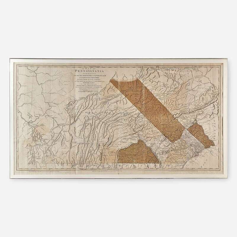
[Maps] Scull, W(illiam). A Map of Pennsylvania Exhibiting not only the Improved Parts of that Province, but also it's Extensive Frontiers...
Sale 5092 - The Pennsylvania Sale featuring The Hedgerow Theatre Collection
Oct 28, 2020
10:00AM ET
/ Philadelphia
Own a similar item?
Estimate
$1,200 -
1,800
Price Realized
$5,000
Sold prices are inclusive of Buyer’s Premium
Lot Description
[Maps] Scull, W(illiam). A Map of Pennsylvania Exhibiting not only the Improved Parts of that Province, but also it's Extensive Frontiers...
London: Printed for Robt. Sayer & J. Bennett, 1775. Engraved map with hand-tinting and hand-colored outlining. Small repair at bottom center; bottom horizontal fold verso reinforced with japanese paper; scattered minor chipping and short closed tears along edges; light offsetting from when folded; scattered minor spotting on recto. 55 x 29 1/2 in. (139 x 74 cm). In mat and in frame. Often referred to as the "Revolutionary War Map" of Pennsylvania, this was the most comprehensive and detailed map of the state at the time of its publication, and was used by both British and Colonial forces during the Revolutionary War. This is an updated version of William Scull's 1770 map, and was issued five years later by Sayer and Bennett.

