[Maps & Atlases] (Blaeu, Willem). Virginiae partis australis et Floridae...
Sale 2101 - Books and Manuscripts
Sep 10, 2024
10:00AM ET
Live / Philadelphia
Estimate
$1,200 -
$1,800
Item was unsold
Lot Description
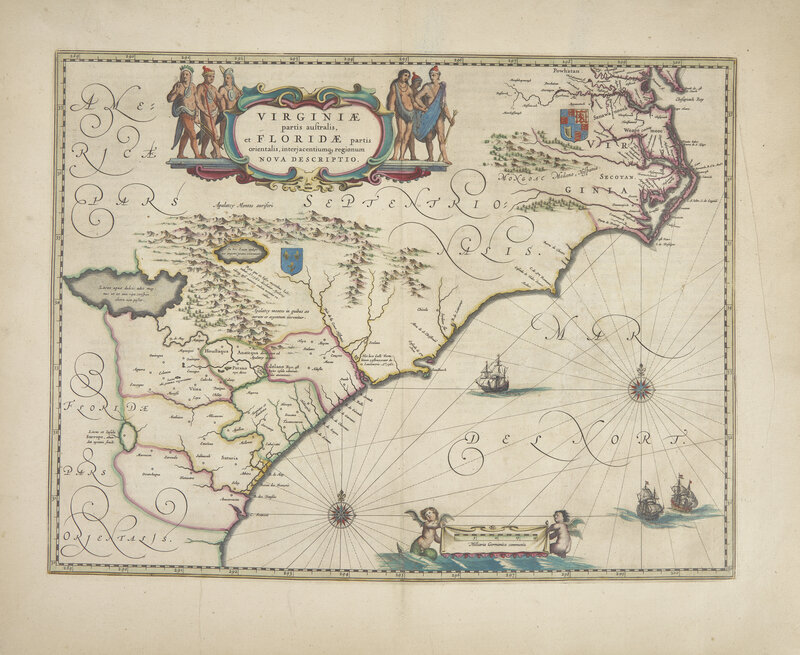
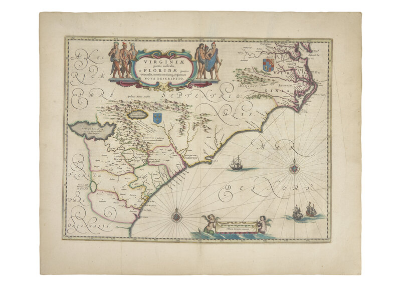
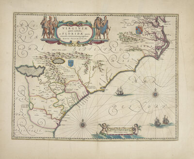
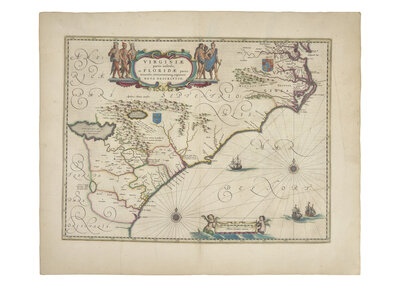
[Maps & Atlases] (Blaeu, Willem). Virginiae partis australis et Floridae partis orientalis, interjacentiumq regionum nova descriptio
Amsterdam: (Willem Blaeu), 1640. Second state (of two). Hand-colored engraved map. Latin text on verso. 19 1/2 x 23 3/4 in. (495 x 603 mm). In mat. Burden 253
Willem Blaeu's important and early map of the southeastern portion of North America, showing modern day northern Florida, Georgia, the Carolinas, Virginia, Maryland and portion of the Chesapeake Bay. France is shown as governing the southern portion of this land (although by this time they had been forced out by the Spanish) and Great Britain as ruler of the northeast.
A fine example.
This lot is located in Philadelphia.
Condition Report
The physical condition of lots in our auctions can vary due to
age, normal wear and tear, previous damage, and
restoration/repair. All lots are sold "AS IS," in the condition
they are in at the time of the auction, and we and the seller make
no representation or warranty and assume no liability of any kind
as to a lot's condition. Any reference to condition in a catalogue
description or a condition report shall not amount to a full
accounting of condition. Condition reports prepared by Hindman
staff are provided as a convenience and may be requested from the
Department prior to bidding.
The absence of a posted condition report on the Hindman website or
in our catalogues should not be interpreted as commentary on an
item's condition. Prospective buyers are responsible for
inspecting a lot or sending their agent or conservator to inspect
the lot on their behalf, and for ensuring that they have
requested, received and understood any condition report provided
by Hindman.
Please email [email protected] for any additional information or questions you may have regarding this lot.