Condition Report
Contact Information
Lot 65
ACHESON, H.
Sale 503 - Fine Books and Manuscripts
Sep 13, 2017
9:59AM
Live / 1338 West Lake Street
Own a similar item?
Estimate
$200 -
300
Price Realized
$2,000
Sold prices are inclusive of Buyer’s Premium
Lot Description
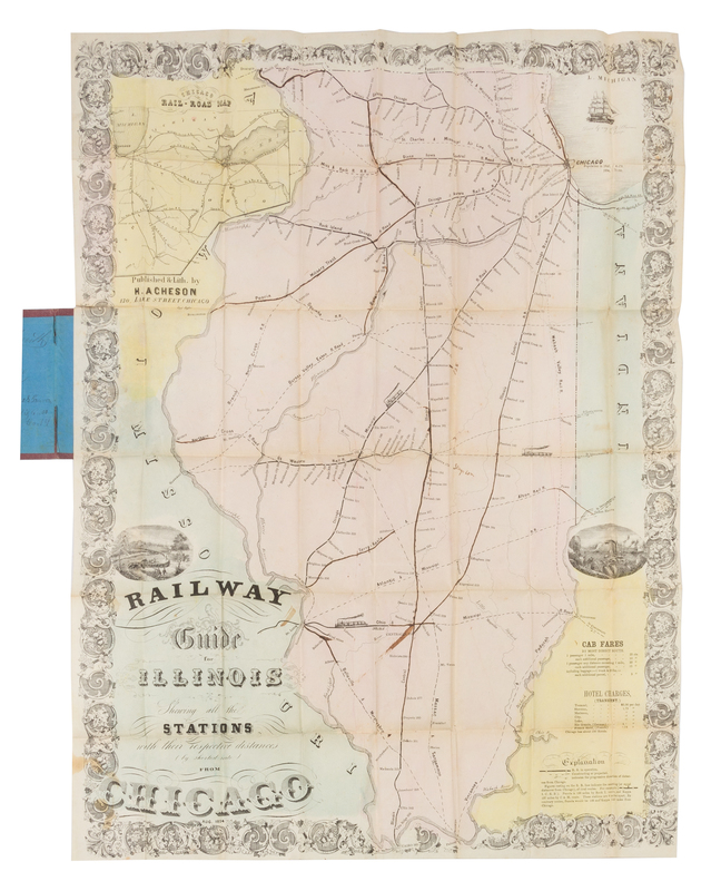
ACHESON, H.
Railway Guide Map for Illinois Showing all the Stations with their respective distance (by shortest route) from Chicago. Chicago: Acheson, Aug. 1854.Hand-colored lithographed folding map, image 692 x 515 mm (708 x 520 mm sheet). (Some ink-burn, a few pale stains.) Loose in original brown gold-stamped cloth portfolio. Depicting various railroads across the state, a number of whose routes have been traced in ink. Acheson's guide includes the Illinois Central Railroad, which would not be completed for another 2 years. The map includes engraved vignettes, and information about cab fares and hotel charges. RARE. A FINE COPY.

