Condition Report
Contact Information
Lot 64
[PACIFIC RAILROAD SURVEY]
Sale 503 - Fine Books and Manuscripts
Sep 13, 2017
9:59AM
Live / 1338 West Lake Street
Own a similar item?
Estimate
$800 -
1,200
Lot Description
[PACIFIC RAILROAD SURVEY]
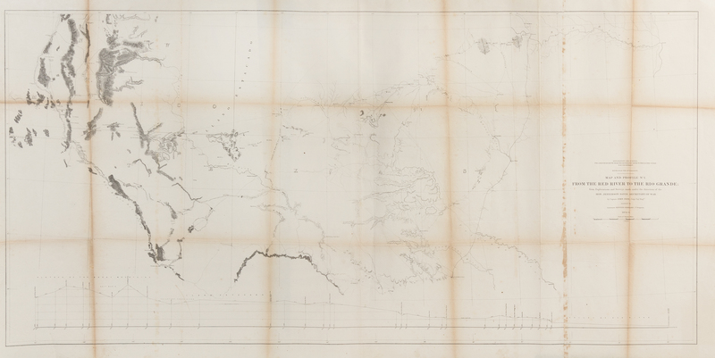
A group of 5 steel engraved folding maps from "Reports of Explorations and Survey to Ascertain the Most Practicable and Economical Route for a Railroad from the Mississippi rover to the Pacific Ocean," comprising: Map and Profile of the Caada de las Uvas. 1853. - Map and Profile of the Tejon Pass. 1853. - Map No.1 from San Francisco Bay to the Plains of Los Angeles. 1854 & 1855. - Map and Profile No.1. From the red River to the Rio Grande. 1854-1856. Printed on two sheets. - Map No.2 From the Pimas Villages to Fort Fillmore from Explorations. 1854 & 1855. (Some toning or browning, particularly to folds.)Following the Louisiana Purchase of 1803, westward expansion became one of the defining themes of the 19th century. Travel was slow and cumbersome, and in the early years took one of two forms: over land using horse and wagon, or by sea, around the southern tip of South America. Railroads, which were used in the East starting in the 1830s, quickly became the obvious and ideal choice to quickly transport people and freight. After a few failed attempts to identify the best route, Congress authorized Secretary of War Jefferson Davis in 1853 to oversee the U.S. Army Corps of Topographical Engineers in four expeditions to find the best route for a transcontinental railroad. They published their data between 1855 and 1861.

