Condition Report
Contact Information
Lot 81
SENEX, John (ca.1678-1640)
Sale 503 - Fine Books and Manuscripts
Sep 13, 2017
9:59AM
Live / 1338 West Lake Street
Own a similar item?
Estimate
$300 -
500
Lot Description
SENEX, John (ca.1678-1640)
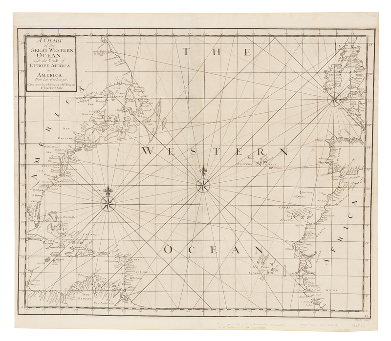
A Chart of the Great Western Ocean: with the Coast of Europe, Africa and America: from Lat: 6 to Lat 58. [London: n.p., 1728].Engraved sea chart of the north Atlantic Ocean depicting the coasts of North and Central America, Western Europe, and North Africa, image 494 x 600 mm (542 x 620 mm sheet). Compass roses, rhumb lines. FIRST ISSUE of this chart based on Edward Halley's observations while sailing with the Paramour.
Property from the Collection of Kenneth Nebenzahl, Inc., Glencoe, Illinois

