Condition Report
Contact Information
Lot 82
FORSTER, George (1754-1794)
Sale 503 - Fine Books and Manuscripts
Sep 13, 2017
9:59AM
Live / 1338 West Lake Street
Own a similar item?
Estimate
$300 -
500
Lot Description
FORSTER, George (1754-1794)
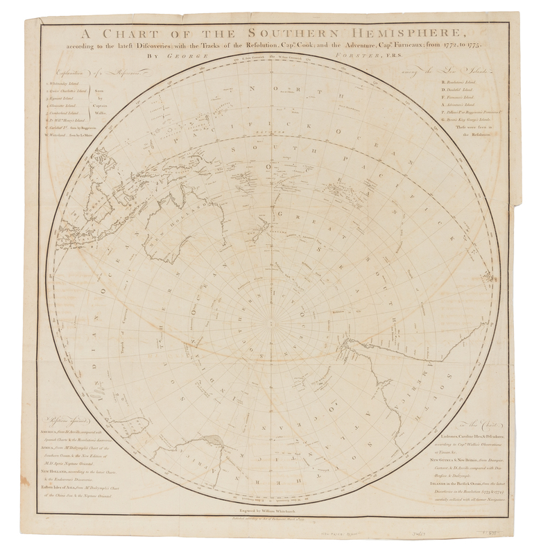
A Chart of the Southern Hemisphere, according to the latest Discoveries: with the Tracks of the Resolution, Capn. Cook; and the Adventure, Capn. Furneaux; from 1772-1775. [London]: William Whitchurch, 1777.Engraved folding map of the Southern Hemisphere, image 663 x 638 mm (705 x 658 mm sheet). (A few short tears or small holes, most repaired on verso, some light offesetting or stains.) Printed to accompany Cook's Second Voyage, A Voyage Round the World, in his Britannic Magesty's Sloop, Resolution, Commanded by Captain James Cook, the map charts the courses of the Resolution and the Adventure.

