Condition Report
Contact Information
Lot 83
LAURIE, Robert (1755-1836) and James WHITTLE (d.1818)
Sale 503 - Fine Books and Manuscripts
Sep 13, 2017
9:59AM
Live / 1338 West Lake Street
Own a similar item?
Estimate
$300 -
400
Price Realized
$188
Sold prices are inclusive of Buyer’s Premium
Lot Description
LAURIE, Robert (1755-1836) and James WHITTLE (d.1818)
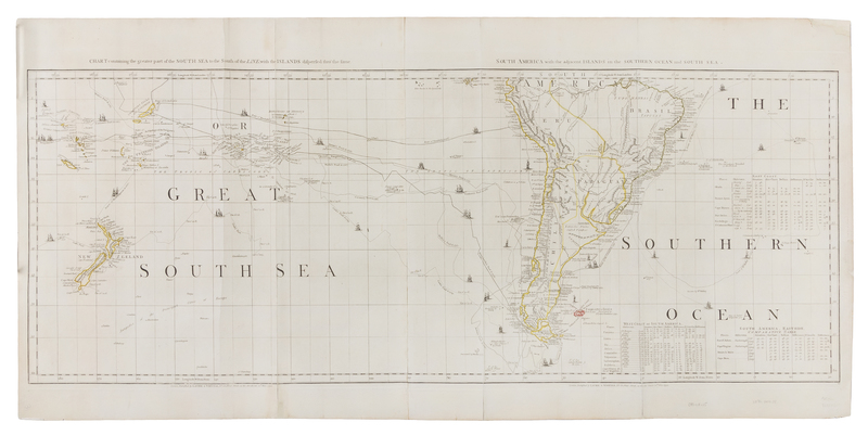
Chart Containing the Greater Part of the South Sea to the South of the Line, with the Islands Dispersed Thro' the Same. - South America with the adjacent Islands in the Southern Ocean and South Sea. From: A Chart of North and South America Including the Atlantic and Pacific Oceans. London: Laurie & Whittle, 12 May 1794. Engraved map on two sheets hand-colored in outline of the South Pacific and South America, sheets V and VI only (of 6), image 1110 x 425 mm (1138 x 547 mm sheet). Each map with its own borders and title, latitude and longitude tables, lines tracing the voyages of Cook, Anson, Bouganville and others. (A few splits along old folds, a few marginal tears or chips, some with old repairs.) A later edition of John Green's important map published by Thomas Jeffreys. All examples of this map are rare on the market.

