Lot 6
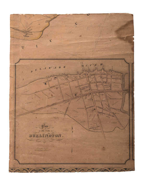
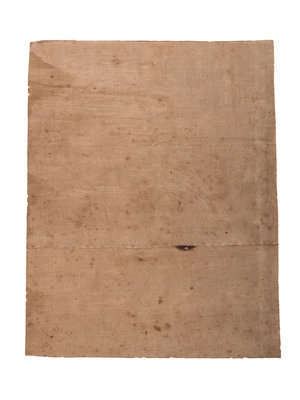
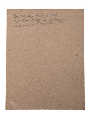
[MAPS]. Partial map of Burlington, New Jersey, with "African" meeting house marked.
Sale 994 - African Americana
Feb 23, 2022
11:00AM ET
Live / Cincinnati
Own a similar item?
Estimate
$300 -
500
Price Realized
$188
Sold prices are inclusive of Buyer’s Premium
Lot Description
[MAPS]. Partial map of Burlington, New Jersey, with "African" meeting house marked.
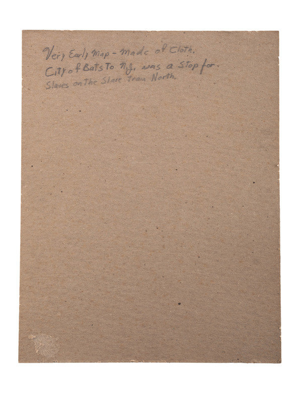
11 x 14 in. linen-backed portion of a larger map, this section featuring the "Plan of the City of Burlington" (heavy toning and spotting, with crease wear and chipping to edges). Landmarks featured include Burlington College, St. Mary's Hall, St. Mary's Church, and multiple Quaker meeting houses identified by notations reading "Friends M House." Notably, one location is labelled "African MH," likely meaning "African Meeting House."
Burlington County, New Jersey is known for its rich African American and Quaker history, being located in the larger Delaware Valley, often referred to as "the Cradle of Emancipation." By 1790, Burlington County had the greatest population of free African Americans of any county in New Jersey, and many African American institutions and organizations began to take shape in the area over the following century including the Bethlehem African Methodist Episcopal Church, organized in 1830 (unmarked as such on this map, but located on Pearl Boulevard). One of the "Friends M House" locations marked on this map, on the corner of High Street and Broad Street, was the site of the yearly meeting of the Delaware Valley Quakers, at which the first anti-slavery tract written in the American colonies was read in 1688. The structure was replaced in 1786, and its cemetery became the resting place for Black watch and clockmaker Peter Hill (1767-1820), who gained his freedom in 1795 and lived comfortably as a free black shop owner in the community.
Condition Report
Contact Information
Auction Specialist
