Condition Report
Contact Information
Lot 320
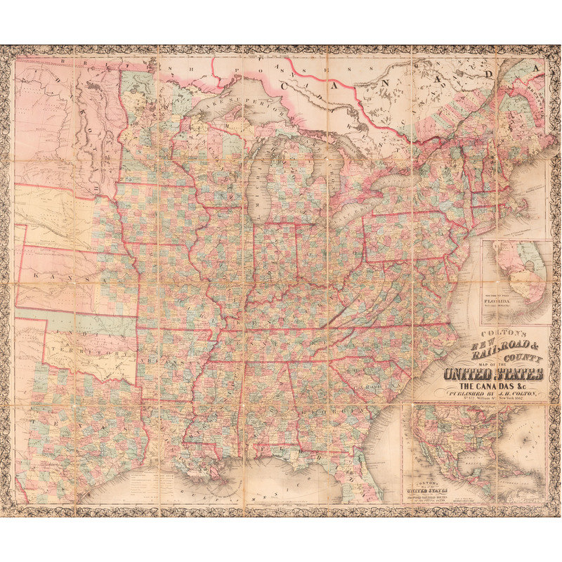
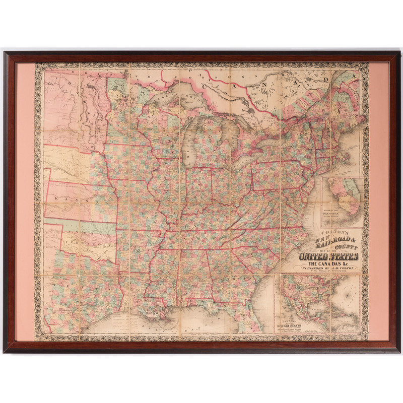
Colton's New Railroad & County Map of the United States, the Canadas, &c., 1862
Sale 1853 - American History: Premier Auction
Jun 21, 2019
10:00AM ET
Live / Cincinnati
Own a similar item?
Estimate
$500 -
700
Price Realized
$375
Sold prices are inclusive of Buyer’s Premium
Lot Description
Colton's New Railroad & County Map of the United States, the Canadas, &c., 1862
Colton's New Railroad & County Map of the United States, the Canadas, &c. New York: J.H. Colton, 1862. Dissected folding map with full color, counties marked as far west as eastern Texas, Kansas and Nebraska. 32.5 x 38.5 in. (sight), framed, 35.5 x 46.5 in. Inserts of South Florida and "Map of the United States Showing the Proposed Railroad Routes to the Pacific Ocean." It was in 1862 that the Pacific Railroad Act, signed by Lincoln, chartered the Central Pacific and Union Pacific Railroad companies to build a transcontinental railroad linking the east with the Pacific. They would meet, of course, at Promontory, Utah on May 10, 1869, just 150 years ago.


