Condition Report
Contact Information
Lot 321
Lot Description
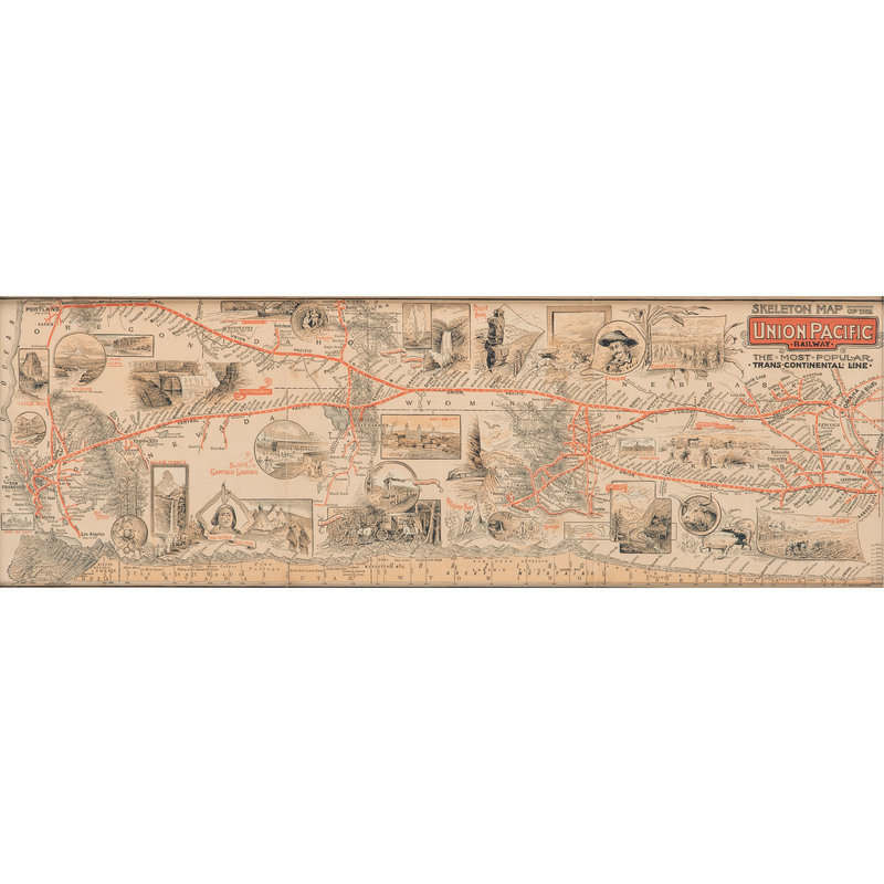
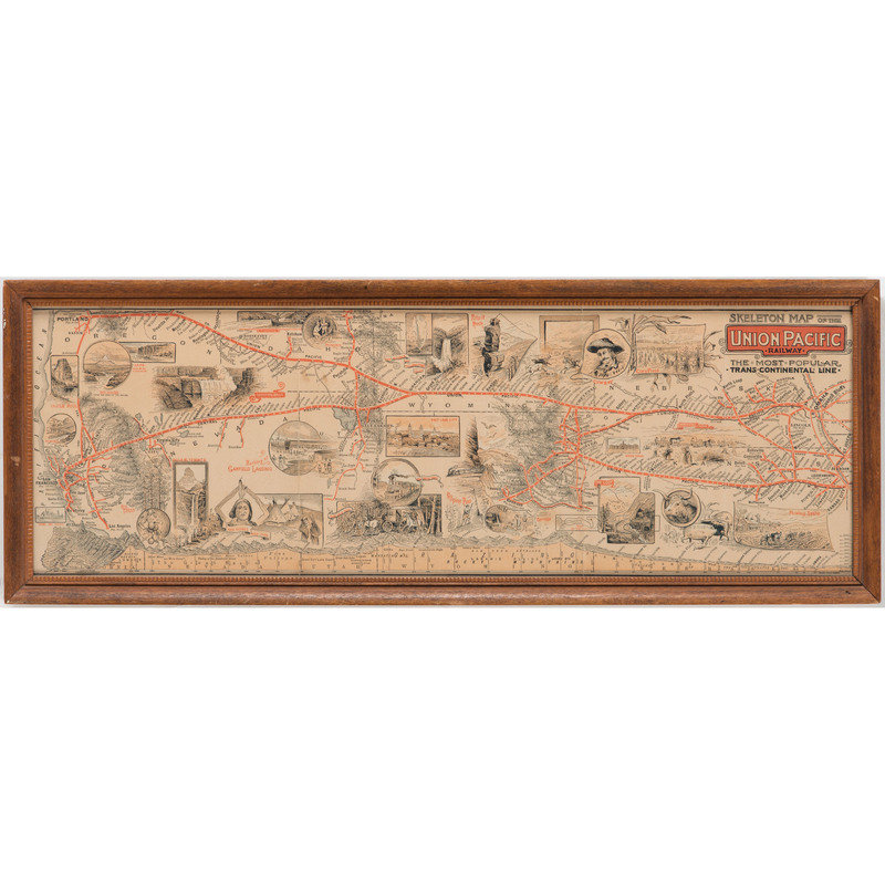
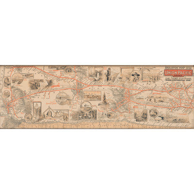
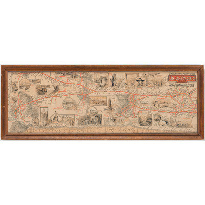
Lot of 2 printed maps. Skeleton map of the Union Pacific Railway, the most popular trans-continental line. 7.5 x 22.75 in. (sight), framed, 9.5 x 24.5 in. Promoting travel by the "Popular Route, Colorado, Wyoming, Utah, Idaho, Montana and Oregon." "Remember that the Union Pacific is the Shortest, Quickest and Best line to Rocky Mountain and Pacific Coast Points....Missouri River and San Francisco." Route map has dozens of towns noted along it, with over two dozen small vignettes illustrating highlights of the trip, such as corn fields, orchards, cowboys, mines, rocks and waterfalls, "The Noble Red Man," bathing in Great Salt Lake, and more.
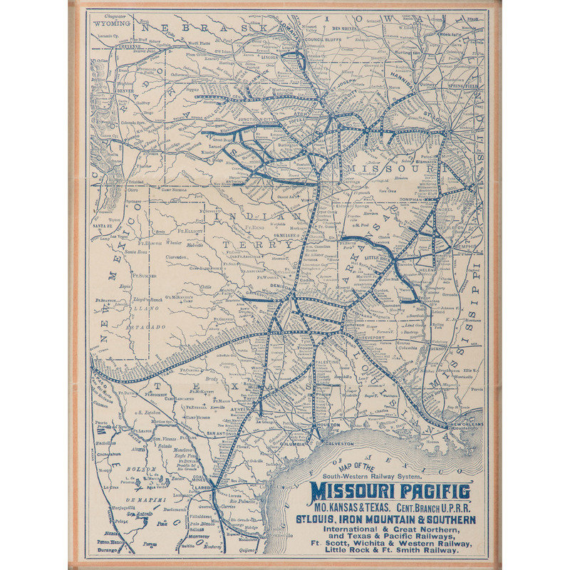
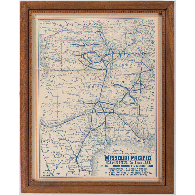
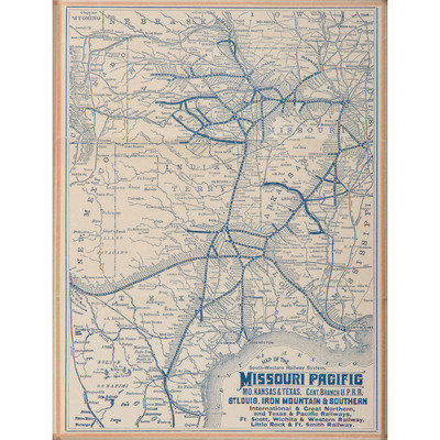
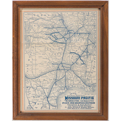
Map of the South-Western Railway System. Missouri Pacific, Mo. Kansas & Texas. Cent. Branch U.P.R.R., St. Louis, Iron Mountain & Southern... and more. 8 x 10.5 in. (sight), framed, 9.5 x 12 in. Rail lines branching out from St. Louis and Memphis, converging around Kansas City and extending into Texas. Also with hundreds of small stations/towns noted along the routes of the railroad through Missouri, Kansas, Arkansas, Indian Territory, Louisiana and Texas, primarily.
This lot is located in Cincinnati.
