Condition Report
Contact Information
Lot 68
GRAHAM, James Duncan (1799-1865)
Sale 503 - Fine Books and Manuscripts
Sep 13, 2017
9:59AM
Live / 1338 West Lake Street
Own a similar item?
Estimate
$1,000 -
1,500
Price Realized
$688
Sold prices are inclusive of Buyer’s Premium
Lot Description
GRAHAM, James Duncan (1799-1865)
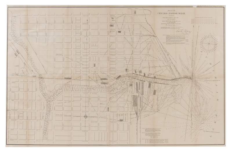
Map G. No. 52. Chicago Harbor & Bar, Illinois. From Survey made in April 1857 under the Direction of Brevet Lieut. Col. J.D. Graham, Major. N.p.: n.p., 1857.Lithographed folding map on 2 sheets of the Chicago harbor, image 794 x 1238 mm, matted and framed (not examined out of frame). Compass, meridian lines, 5 notes, facsimile signature of Graham. (Some light offsetting.) The Chicago harbor "emerged as a critical link between the waterways of the Great Lakes, including the Erie Canal, and the new railroads leading from riverside docks and piersto the interior of the country. Repeated attempts to keep the river and harbor clear of sediment had only temporary effect. In April 1854, the government brought Lieutenant Colonel Janes Duncan Graham, a member of the Army Corps of Engineers, to Chicago" to direct improvements (see "Chicago's Harbors | Make Big Plans," the Newberry Library, www.newberry.org). The present map accompanied Graham's annual report to the Chief Top Engineer on 30 September 1857.

