Condition Report
Contact Information
Lot 1
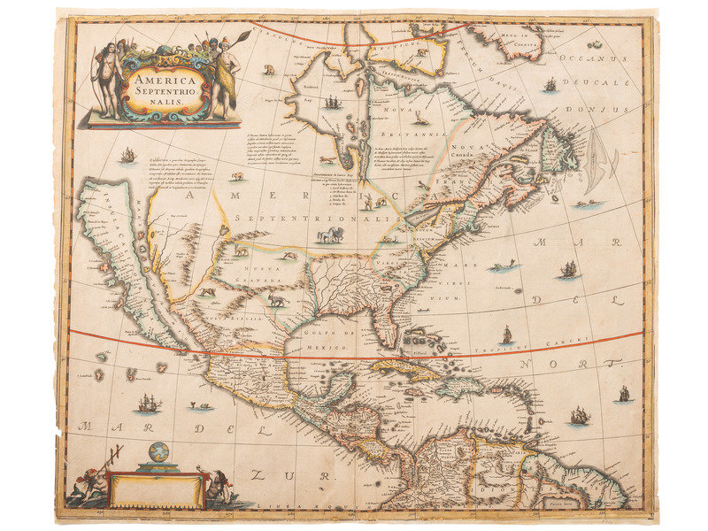
[MAPS & ATLASES]. HONDIUS, Henricus (1597-1651). America Septentrionalis. [Amsterdam: Jan Jansson, 1639]. FIRST STATE of Hondiu's map showing California as an island.
Sale 1069 - American Historical Ephemera & Photography
Lots Open
Aug 19, 2022
Lots Close
Aug 30, 2022
Timed Online / Cincinnati
Own a similar item?
Estimate
$2,000 -
3,000
Price Realized
$2,813
Sold prices are inclusive of Buyer’s Premium
Lot Description
[MAPS & ATLASES]. HONDIUS, Henricus (1597-1651). America Septentrionalis. [Amsterdam: Jan Jansson, 1639]. FIRST STATE of Hondiu's map showing California as an island.
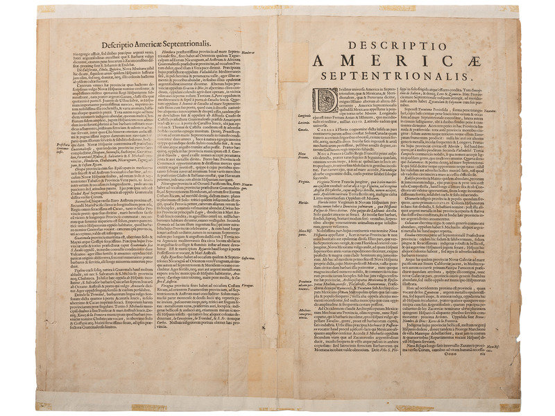
Hand-colored engraved map of the Americas, 560 x 473 mm sheet. Two cartouches, the lower-left without text, Latin text on verso. (Tear near Nueva Espana, paper reinforcements to verso, light chipping especially to left edge, outer border has been partially hand-drawn to lower left and upper right corners).
FIRST STATE of Hondius' map with no text in the cartouche lower left. According to Burden: "Hondius' beautifully engraved map of North America had greater influence than any other to date in perpetuating the theory of California as an island…Cartographically, this map is a careful composition of many different sources" including maps by Henry Briggs (1625), John Smith (1616), Hessel Gerritsz (c.1631), and Thomas James (1633). Burden 245; Tooley, p.113.
Property of a Midwest Collector


