Condition Report
Contact Information
Lot 14
[MAPS & ATLASES]. A group of five 18th-century maps of North America, plus.
Sale 1069 - American Historical Ephemera & Photography
Lots Open
Aug 19, 2022
Lots Close
Aug 30, 2022
Timed Online / Cincinnati
Own a similar item?
Estimate
$300 -
500
Price Realized
$375
Sold prices are inclusive of Buyer’s Premium
Lot Description
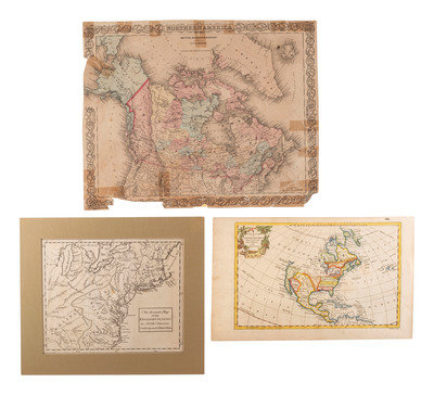
[MAPS & ATLASES]. A group of five 18th-century maps of North America, plus.
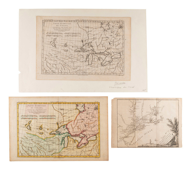
BONNE, Rigobert (1727-1794). Partie Occidentale du Canada, contenant les cinq Grands Lacs, avec les Pays Circonvoisins. [Paris, ca 1780]. Two copies of engraved map, one with hand-coloring, images 320 x 212 mm (hand-colored sheet 383 x 248 mm; uncolored sheet 368 x 250). FIRST STATE with engravers imprint present in both copies. The second plates of Bonne's map of the Great Lakes with Indigenous territories, fur trading routes, and forts, including "Fort Chicagou," "Fort du Detroit," and "Ft. S. Louis." Lake Superior includes the apocryphal Isles Pontchartrain, Maurepas, and St. Anne.
[With:] CHASTELLUX, François-Jean, Marquis de (1734-1788). Carte pour Servir au Journal de Mr. Le Mquis. de Chastellux... [Paris, ca 1786]. Image 243 x 185 mm (280 x 194 mm). Showing Chastellux's route from Cape May to Portsmouth while serving under Rochambeau during the American Revolution. Diminutive crossed swords indicate the sites of battles. Howes C-324; Sabin 12229.
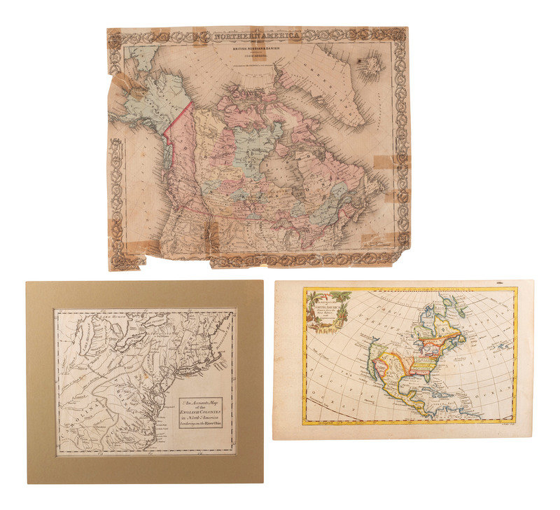
[Also with:] An Accurate Map of the English Colonies in North America bordering on the River Ohio. [London, 1754]. Engr4aved map. -- after ROBERT DE VAUGONDY, Gilles (1688-1766). George ROLLOS, engraver. An Accurate Map of North America Drawn from the Sieur Robert with Improvements. [London ,1766]. Engraved map with hand-coloring. -- Northern America. British, Russian & Danish Possessions in North America. New York: J.H. Colton & Co., 1855. (Losses and tears with repairs). -- Together, 3 additional maps.
Property of a Midwest Collector
