Lot 64
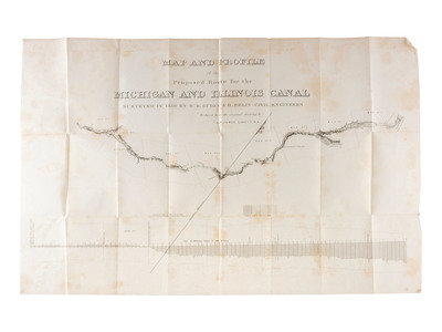
[TRANSPORTATION] -- [CANALS]. A group of maps and pamphlets related to early 19th-century Midwest transportation routes including a Map and Profile of the Proposed Route for the Michigan and Illinois Canal.
Sale 1069 - American Historical Ephemera & Photography
Lots Open
Aug 19, 2022
Lots Close
Aug 30, 2022
Timed Online / Cincinnati
Own a similar item?
Estimate
$200 -
400
Price Realized
$125
Sold prices are inclusive of Buyer’s Premium
Lot Description
[TRANSPORTATION] -- [CANALS]. A group of maps and pamphlets related to early 19th-century Midwest transportation routes including a Map and Profile of the Proposed Route for the Michigan and Illinois Canal.
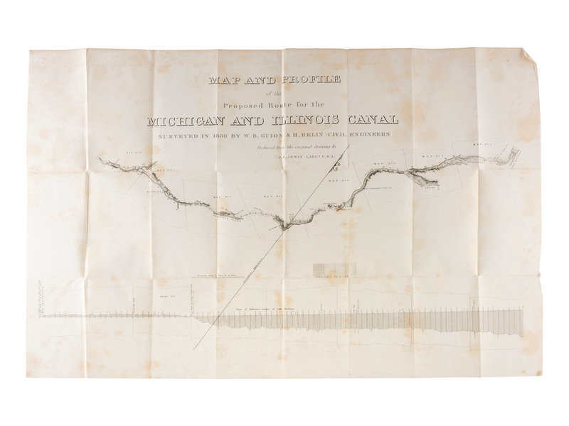
Map and Profile of the Proposed Route for the Michigan and Illinois Canal Surveyed in 1830 By W.B. Guion & H. Belin Civil Engineers. Reduced from the original drawing by J.B. Irwin Lieut. USA. Originally published as part of US Congressional House Report No. 456. "Canal-Michigan to Illinois River," which instructed the Committee on Roads and Canals to "inquired into the expediency of affording some efficient aid to the State of Illinois, in the construction of a steamboat canal from Michigan to Illinois river...." [Washington, D.C.]: [G.P.O.], 25 June 1834. 23rd Congress, 1st Session. 1p, 33 1/2 x 21 1/2 in. (scattered toning, creasing at folds, approx. 1 1/2 in. tear).
Conceived and constructed as a way to connect the Great Lakes to the Mississippi and the Gulf of Mexico, the Illinois and Michigan canal opened in 1848 and helped establish Chicago as a major transportation hub.
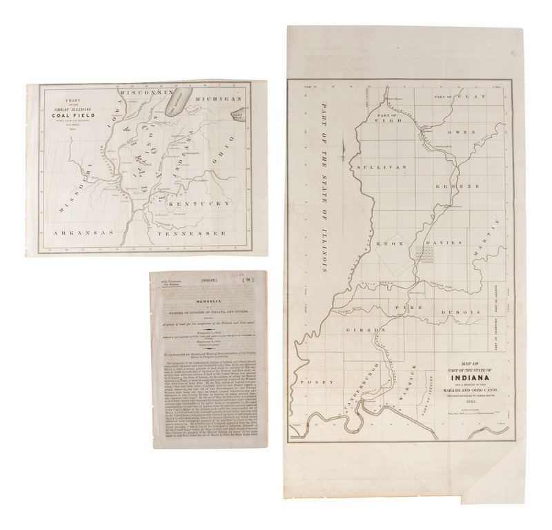
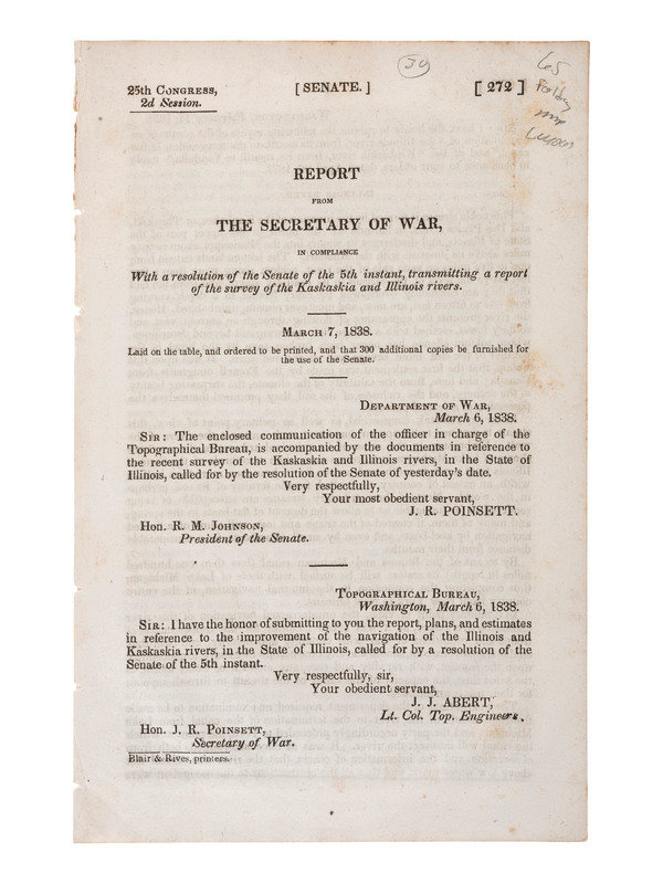
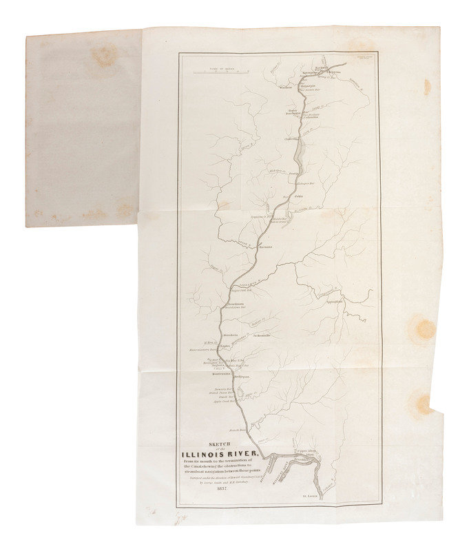
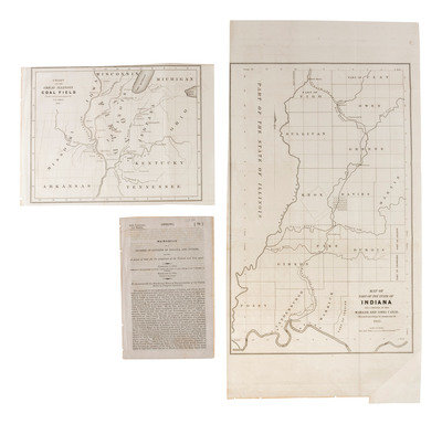
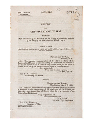
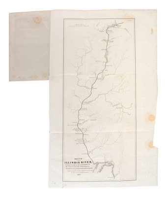
[With:] Memorial of a Number of Citizens of Indiana, and Others, Praying a Grant of Land for the Completion of the Wabash and Erie Canal. [Washington, D.C.]: n.p., 1844. 28th Congress, 1st Session. 9pp, 5 1/2 x 9 in. (disbound, dampstain at top left corner, light soil). Scarce, OCLC locates 3 copies. Includes folding maps: Map of Part of the State of Indiana and a Profile of the Wabash and Ohio Canal From Evansville to Terra Haute 1843 and Chart of the Great Illinois Coal Field Copied from one Drawn by D.D. Owen 1843. -- Report from the Secretary of War, in Compliance with a resolution of the Senate of the 5th instant, transmitting a report of the survey of the Kaskaskia and Illinois rivers. [Washington, D.C.]: Blair & Rives, Printers, [1838]. 25th Congress, 2nd Session. 14pp, 5 5/8 x 8 3/4 in. (disbound, scattered spotting, light soil). Includes folding map: Sketch of the Illinois River, from its mouth to the termination of the Canal shewing the obstructions to steamboat navigation between those points. Surveyed under the direction of Howard Stansbury U.S.A.C.E. by George Smith and M.H. Stansbury. 1837. -- Illinois Legislature. Joint Resolution, In relation to enlarged facilities of transportation between the Great Lakes and the Atlantic Coast and Europe. Adopted unanimously by the Senate and House of Representatives of the State of Illinois on 14 February 1863. 1p, 5 1/4 x 8 in. (creasing, loss to upper right corner, scattered markings). RARE, OCLC locates 1 copy. A Civil War-date Illinois imprint, in which the State Legislature argues for the "importance to the great producing States of the Northwest, interested in the transportation of their various productions to the seaboard and to Europe" to open communications and make efforts to improve the transportation facilities by way of the Great Lakes, and the rivers and canals connecting those lakes with the Atlantic Ocean, to reach the markets of Europe. -- Illinois and Michigan Canal contractor claim appealing to the General Assembly for relief and payment of wages of labor that "were curtailed in every possible way to their disadvantage, and with manifest injustice." N.p., n.d. [after 1847]. 4pp, 6 x 8 1/2 in. (dampstains, light soil, small tears).
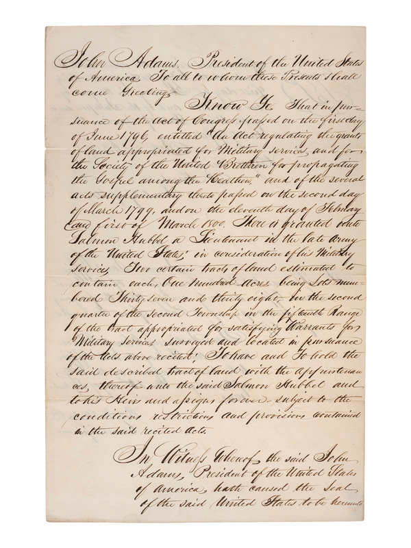
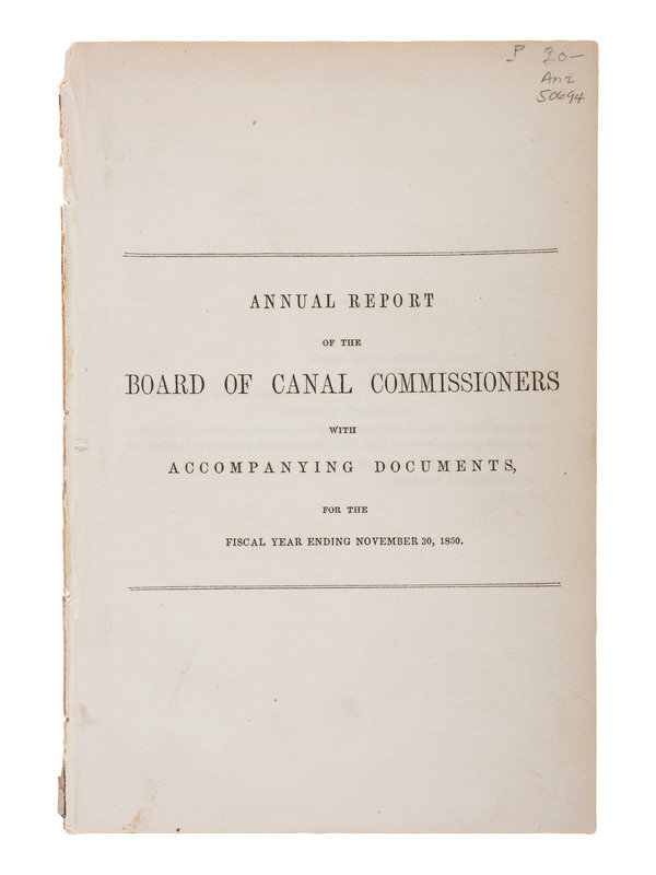
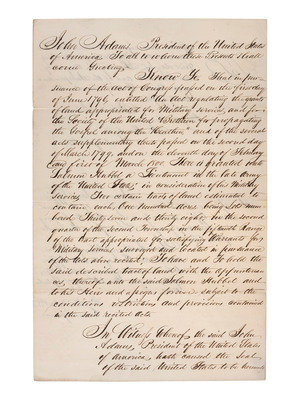
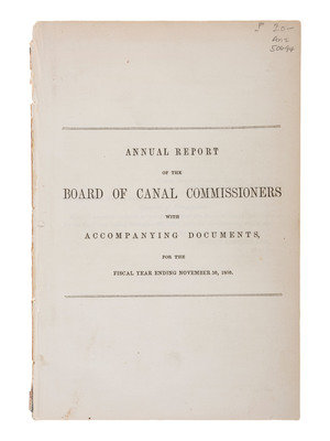
[Also with:] BLAKE, Thomas H. (1792-1849). Copy of military bounty land grant to Salmon Hubbel signed ("Tho. H Blake") as Commissioner of the General Land Office under President John Adams. Washington, D.C. 1 January 1801. Blake was a War of 1812 Veteran and Trustee of Wabash and Erie Canal -- Annual Report of the Board of Canal Commissioners with Accompanying Documents, for the Fiscal Year Ending November 30, 1850. Harrisburg [Pennsylvania]: n.p., 1851. 18pp, 5 3/4 x 8 1/2 in. (disbound, light soil).
Property of a Midwest Collector
Condition Report
Contact Information
