Lot 58
[MAPS]. 40+ maps published by Johnson & Ward, highlighted by US Civil War-period maps.
Sale 1136 - American Historical Ephemera & Photography
Lots Open
Mar 27, 2023
Lots Close
Apr 4, 2023
Timed Online / Cincinnati
Own a similar item?
Estimate
$400 -
600
Price Realized
$441
Sold prices are inclusive of Buyer’s Premium
Lot Description
[MAPS]. 40+ maps published by Johnson & Ward, highlighted by US Civil War-period maps.
JOHNSON, Alvin Jewett (1827-1884).
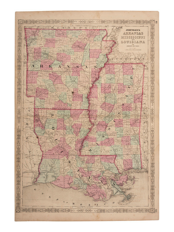
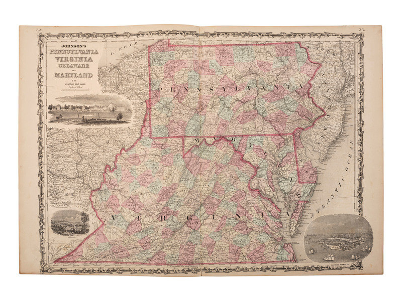
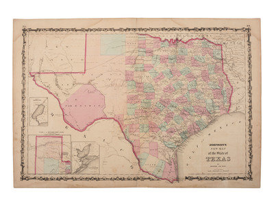
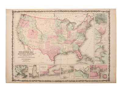
45 maps from Johnson's New Illustrated Family Atlas. New York: Johnson & Ward, 1863. Steel engraved maps with hand coloring, condition generally very good.
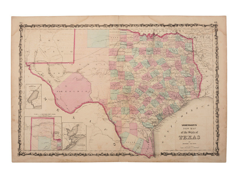
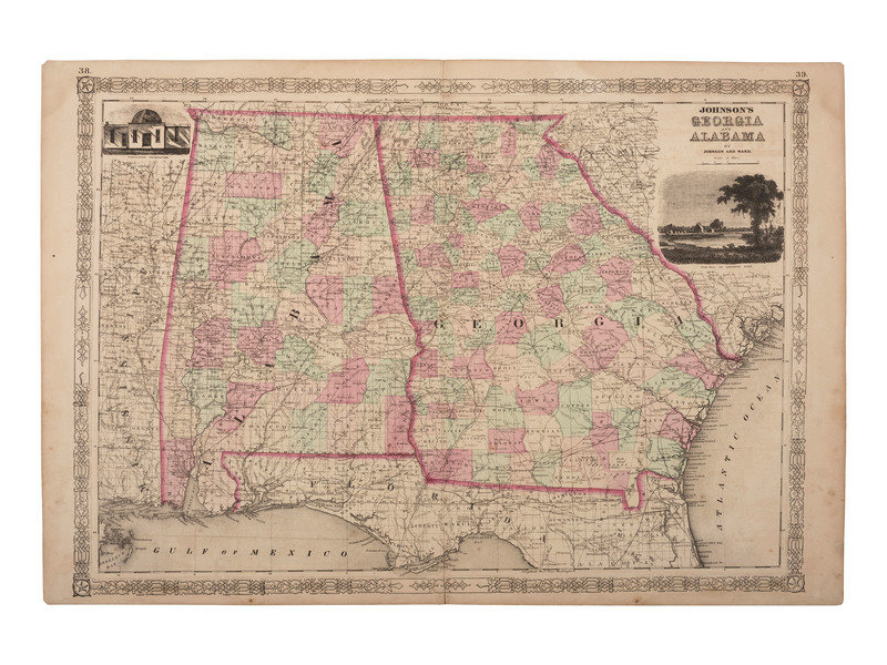
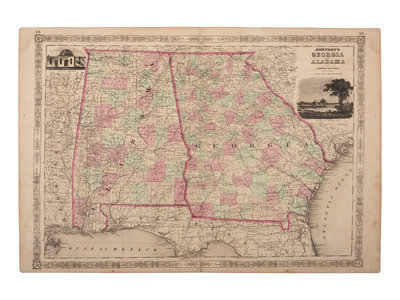
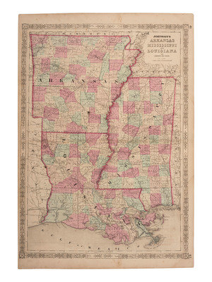
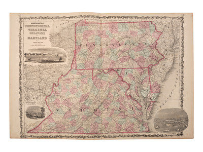
New Map of the State of Texas. (3 copies). -- Pennsylvanian, Virginia, Delaware, and Maryland. -- Arkansas, Mississippi, and Louisiana. (4 copies). -- Massachusetts, Connecticut, and Rhode Island. -- Georgia and Alabama. (3 copies). -- Michigan and Wisconsin. -- New Hampshire and Vermont. -- New York. (2 copies). -- Missouri and Kansas. -- Ohio and (Indiana). -- California Territories of New Mexico and Utah. -- Map of New York and the Adjacent Cities. -- New Hampshire and Vermont. -- Together, 20 maps on double sheets, including duplicates as noted, each sheet approx. 18 3/4 x 26 1/4 in.
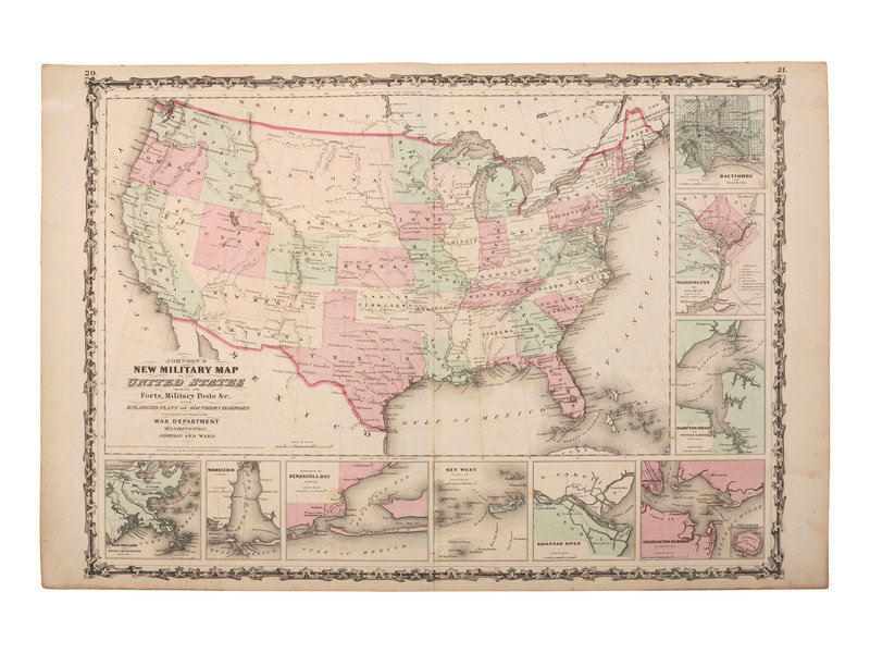
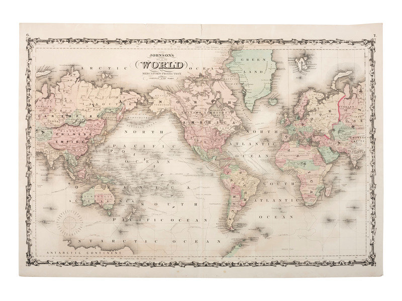
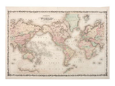
Map of the World on Mercator's Projection. -- New Military Map of the United States Showing the Forts, Military Posts &c. -- Western Hemisphere/Eastern Hemisphere. --Europe. -- England and Wales. -- Ireland/Scotland. -- France/Holland and Belgium. --Roman Empire, Imperium Romanorum Latissime Patens. -- Africa. -- South America. -- Together, 10 maps on double sheets, each sheet approx. 18 3/4 x 26 1/4 in.
Iowa and Nebraska. (3 copies). -- Nebraska, Dakota, Colorado, & Kansas. (2 copies). --Minnesota and Dakota. -- Washington & Oregon. -- Delaware and Maryland. -- New Jersey. (2 copies). -- Maine. (2 copies). -- Illinois. -- Georgetown and the City of Washington. -- Florida. -- Together, 15 maps on single sheets, including duplicates as noted. -- each sheet approx. 13 7/8 x 18 1/8 in.
[Also with:] MITCHELL, Samuel Augustus, Jr. (1792-1868).
2 maps from Michell's New General Atlas. 1867. Lithograph maps with hand coloring, condition generally very good.
County Map of Florida. 1867. -- Louisiana, Mississippi, and Arkansas. 1866.
[Philadelphia]: S. Augustus Mitchell Jr.
Estate of Carroll J. Delery III, Formerly the “Historical Shop”
Condition Report
Contact Information
Auction Specialist
