Lot 684
[MAPS]. Leavenworth War Games map.
Sale 1047 - American Historical Ephemera & Photography
Lots Open
Jun 17, 2022
Lots Close
Jun 28, 2022
Timed Online / Cincinnati
Own a similar item?
Estimate
$200 -
400
Lot Description
[MAPS]. Leavenworth War Games map.
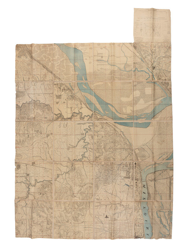
Fort Leavenworth War Game Map / Platte City-Leavenworth-East-Waldron-Lansing and Boling Sheets / Made at the Army Service Schools, For Leavenworth, Kansas / 1909-13 / Control and Woodland taken from U.S. Geological Survey 1906-09. A large dissected linen-backed map, 73 x 90 in., plus 17.5 x 16.5 in. legend. Features shown with images and symbols (woodland with undergrowth, trees without undergrowth, etc.); elevation shown with contour lines. Water colored blue, a few measures in red.
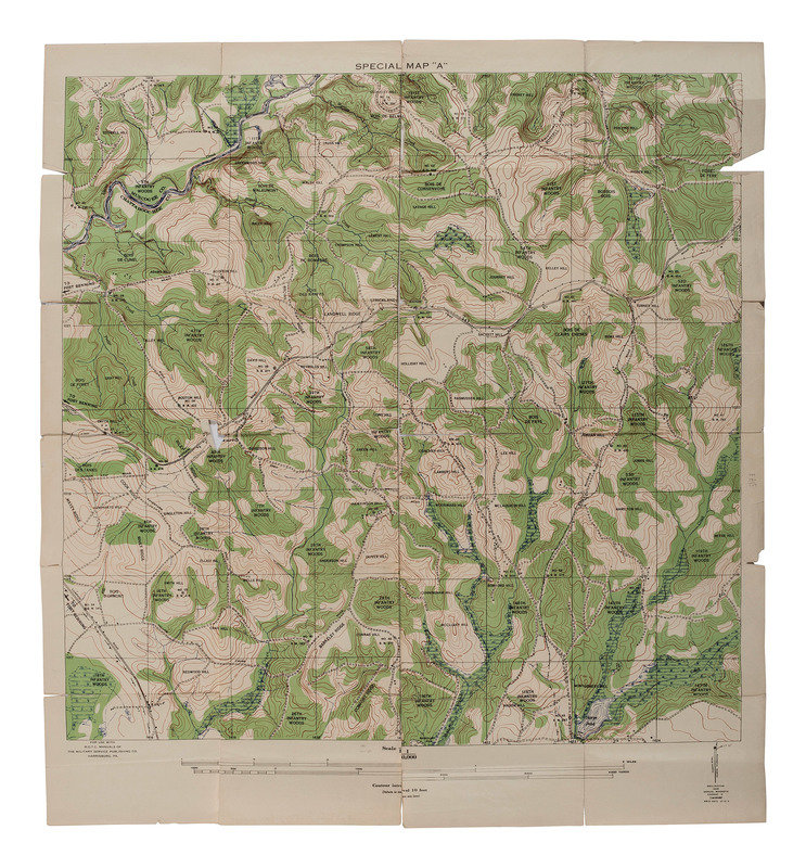
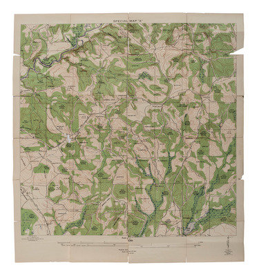
Plus, printed map with "Special Map 'A'" at top, 31 x 33.75 in. Lower left: "For use with R.O.T.C. Manuals of The Military Service Publishing Co., Harrisburg, PA." This map is part of western Georgia with the county line between Muscogee Co. and Chattahoochee Co. marked. A couple of roads noted "[arrow] Fort Benning." Woods in green, marshes blue. Elevation shown by contour lines.
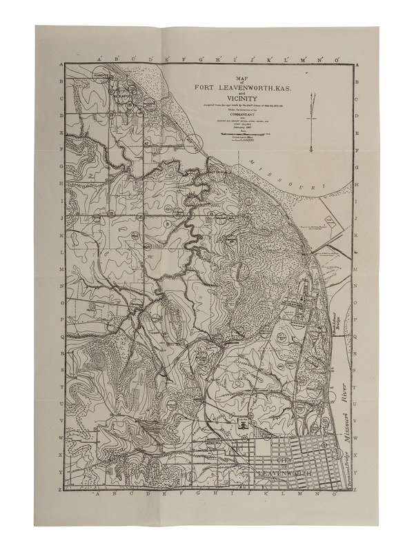
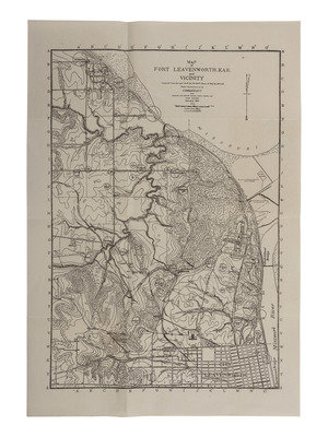
And printed map, 10 x 14 in. Map of Fort Leavenworth, Kas. and Vicinity. Features depicted with symbols, elevation by contour lines, no color.
Larger printed map with many splits along folds. Other two are very good.
Larger printed map with many splits along folds. Other two are very good.
This lot is located in Cincinnati.
Condition Report
Contact Information
Auction Specialist
